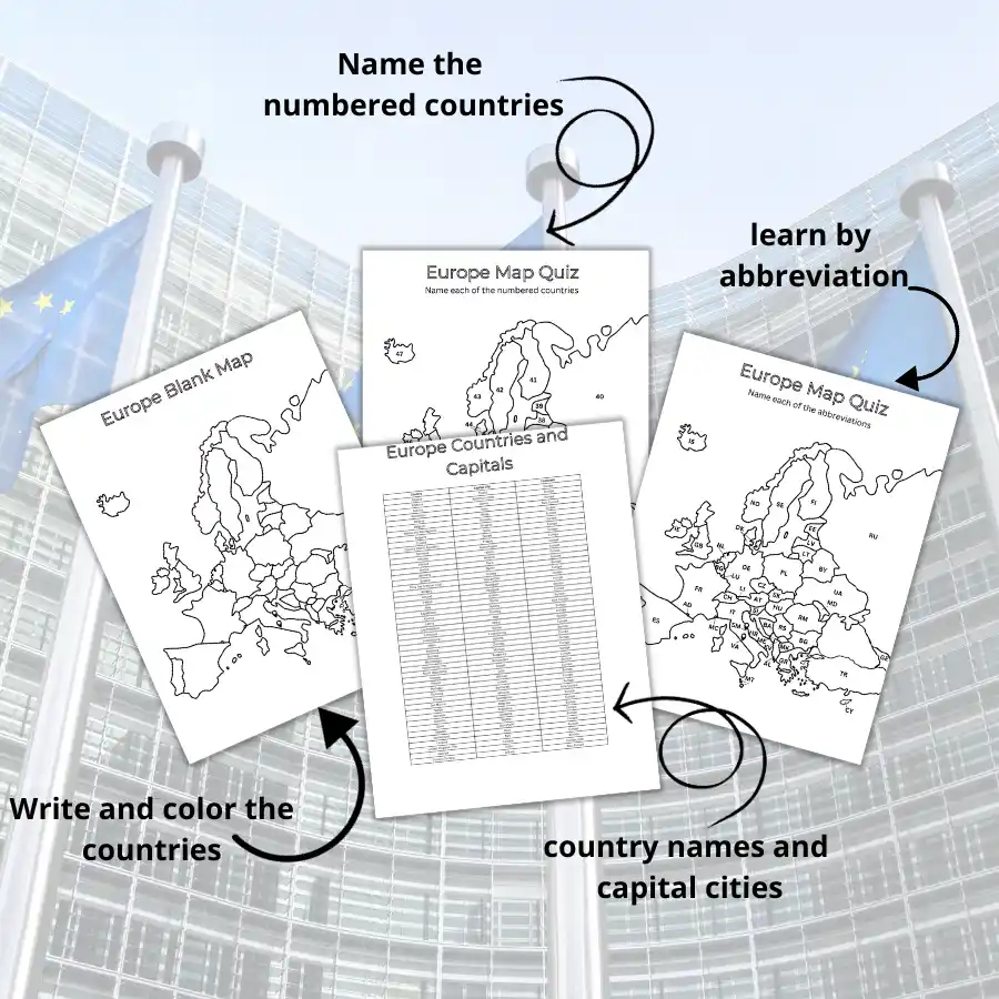
This comprehensive learning kit of printable European maps is perfect for students, educators, and anyone eager to master European countries, capitals, and abbreviations. With printable worksheets and learning aids, you’ll strengthen your geographical knowledge in no time!
We put in all the work for you. Here’s why you’ll love it:
🌟 Easy to Use: Designed to make learning simple and accessible for all ages.
🌟 Versatile: Perfect for school projects, exam prep, trivia nights, or just fun learning sessions.
🌟 Ready to Print: Just hit the ‘print’ icon, and you’re set!
🌟 Reinforces learning: Repeatedly practice and review the countries with multiple worksheets.
Who’s it for?
📚 Students: Improve your geography skills and excel in quizzes effortlessly.
🏫 Teachers: Ready-made classroom resources to easily engage students.
👨👩👧👦 Families: Enjoy exploring European geography together.
🎉 Trivia Enthusiasts: Enhance your knowledge for trivia quizzes.
What’s included
✅ Learning Aid Table: A comprehensive list featuring European countries and their capitals.

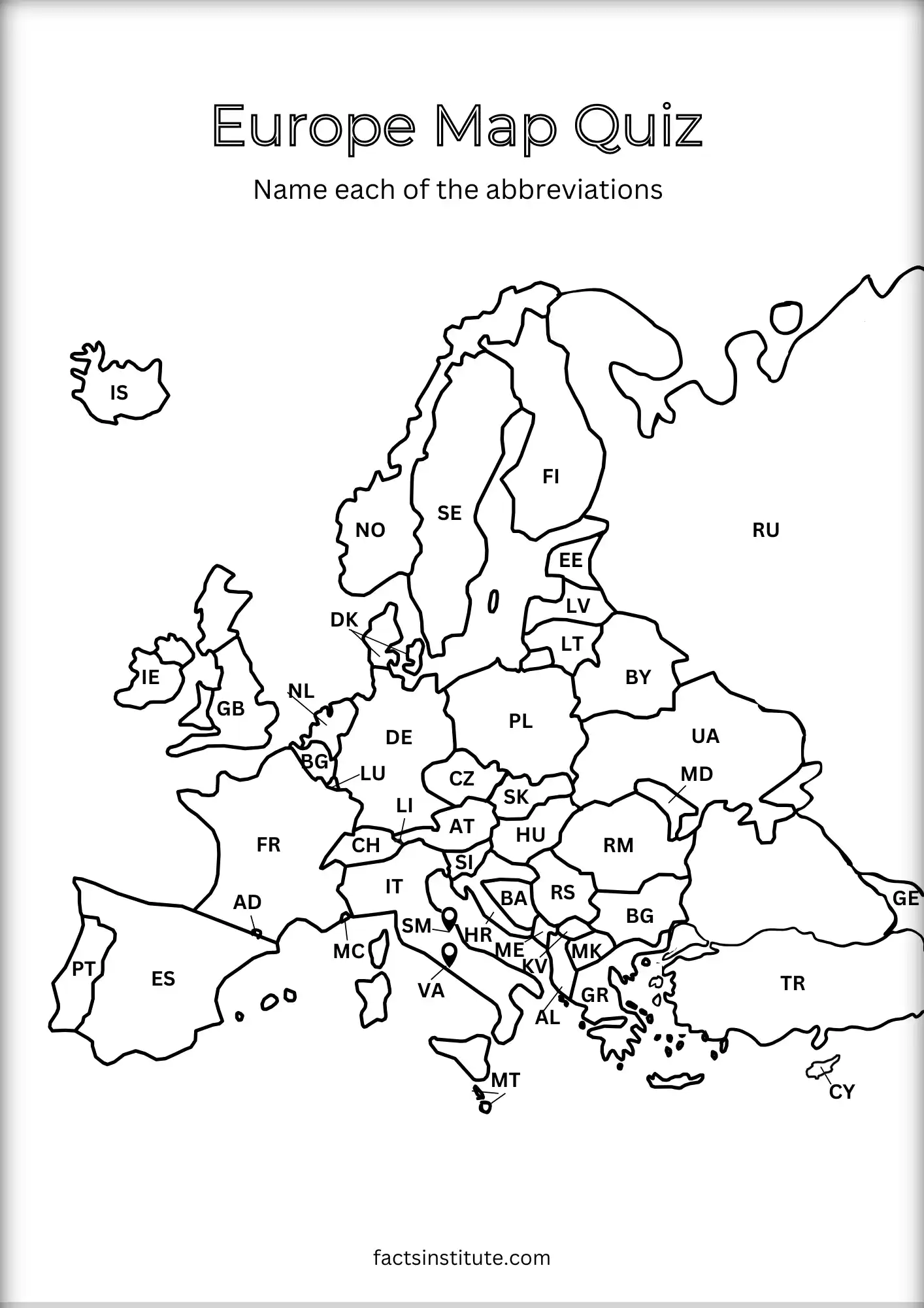
✅ Worksheet One: A numbered map quiz to help you identify all the European countries.

✅ Worksheet Two: Focused practice on country abbreviations for skill mastery.
✅ Worksheet Three: A fill-in-the-blank exercise for learning European capital cities.

✅ Worksheet Four: Challenge yourself with a blank map to test your complete knowledge.

Download the worksheets free here.
You may also find our printable world map helpful for placing Europe in a global context.
Disclaimer:
These materials are provided for personal, educational, and non-commercial use only. Redistribution, resale, or commercial use of this content is strictly prohibited.
Need extra help? Answer reference: European countries, capitals and abbreviations.
Caitriona Maria is an education writer and owner of The Facts Institute. With seven years of teaching experience and a background in educational content, she specialises in creating clear reference resources about countries, geography and global topics.