10 fun facts about Guyana
1. Guyana is the only country in South America where English is the official language. Despite its location on the South American mainland, it also has strong cultural and historical ties to the Caribbean.
2. The name Guyana comes from an Indigenous word meaning “Land of Many Waters” — an appropriate name for a country filled with rivers, wetlands and as many as 300 waterfalls!
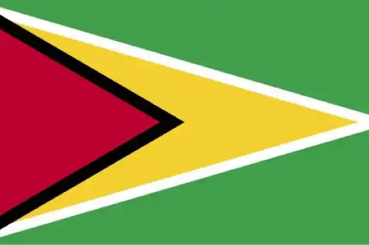
3. Guyana’s national flag is known as the Golden Arrowhead, a reference to the large golden triangle that points toward the fly of the flag.
4. Kaieteur Falls in Guyana is one of the world’s highest single-drop waterfalls. It plunges 226 m (741 ft) in a single drop on the Potaro River.
5. Around 85% of Guyana is covered by forest, making it one of the most heavily forested countries in the world. Much of this wilderness forms part of the ancient Guiana Shield, a geological region characterized by plateaus and highlands.
6. Demerara sugar takes its name from the historic Dutch colony of Demerara in Guyana. The Demerara River still flows through the country and reaches the Atlantic Ocean near Georgetown.
7. Guyana made its first major commercial oil discovery offshore in May 2015. The discovery in the Stabroek Block began a huge expansion of the country’s petroleum industry and transformed its economy.
8. Cricket is Guyana’s most popular sport, and Guyanese players compete internationally as part of the West Indies cricket team. One of the country’s most famous players, Shivnarine Chanderpaul, scored more than 10,000 runs in Test cricket.
9. English explorer Sir Walter Raleigh travelled to Guyana and the surrounding region during the 16th century while searching for El Dorado, the legendary land of gold. He never found it, but Guyana really does possess significant gold deposits.
10. Guyana currently has no UNESCO World Heritage Sites, although several places, including Georgetown landmarks and Shell Beach, appear on the country’s Tentative List for possible future nomination.
Read more: Facts about Guyana
At a glance
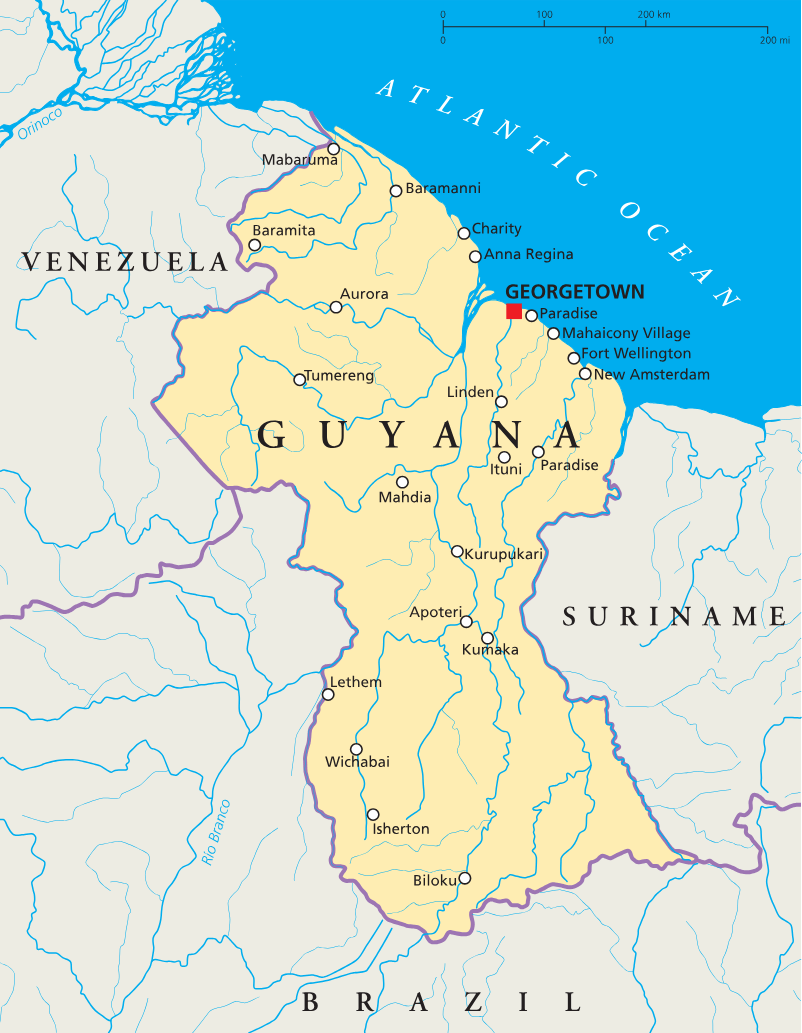
Capital city: Georgetown
Population: 794,099
Area: 214,969 sq km
Major languages: English, Guyanese Creole
Major religions: Christianity, Hinduism, Islam
Time zone: UTC-4 (Atlantic Time Zone)
Where is Guyana?
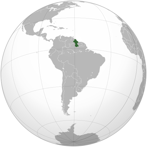
Continent: South America
Neighboring countries: Venezuela, Brazil and Suriname
Highest point: Mount Roraima (2,772 m / 9,094 ft)
Geography of Guyana
Guyana lies on the northern coast of South America, with the Atlantic Ocean to the north.
Its landscape ranges from a low-lying coastal plain to dense tropical rainforest, broad savannas, rivers and rugged mountains within the ancient Guiana Shield.
Atlantic Coast & Coastal Plain
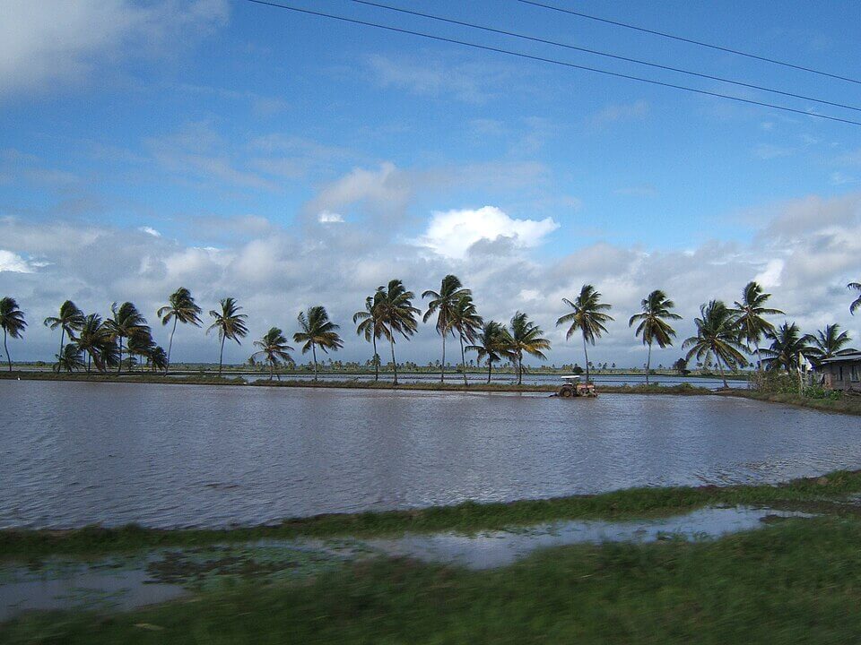
A low-lying plain stretches along Guyana’s Atlantic coastline. The capital, Georgetown, lies within this region, where much of the country’s population and agricultural land are concentrated.
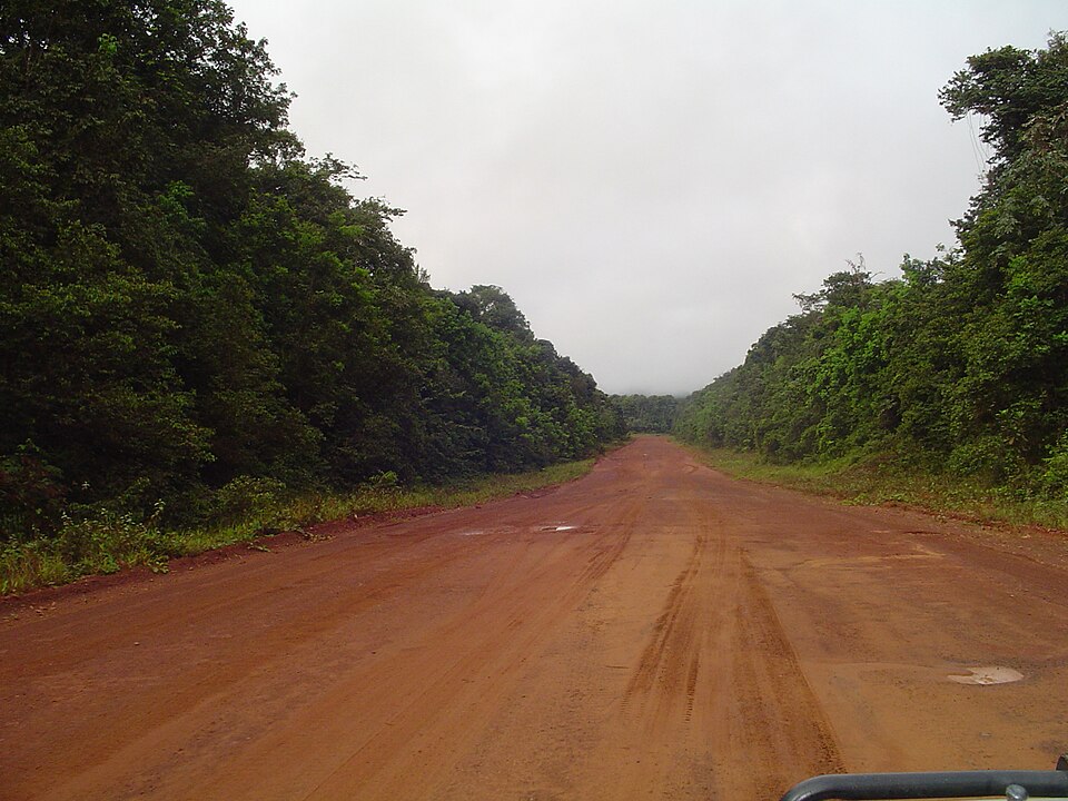
Hilly Sand & Clay Region
Immediately inland from the coastal plain lies an area of gently rolling hills with sandy and clay-rich soils. This region is known for bauxite mining, logging and stone quarrying.
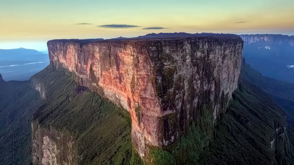
Forested Highlands & Mount Roraima
Much of Guyana’s interior consists of densely forested highlands, mountains and plateaus forming part of the Guiana Shield. The Pakaraima Mountains rise in western Guyana and contain Mount Roraima, the country’s highest point, near the borders with Venezuela and Brazil.
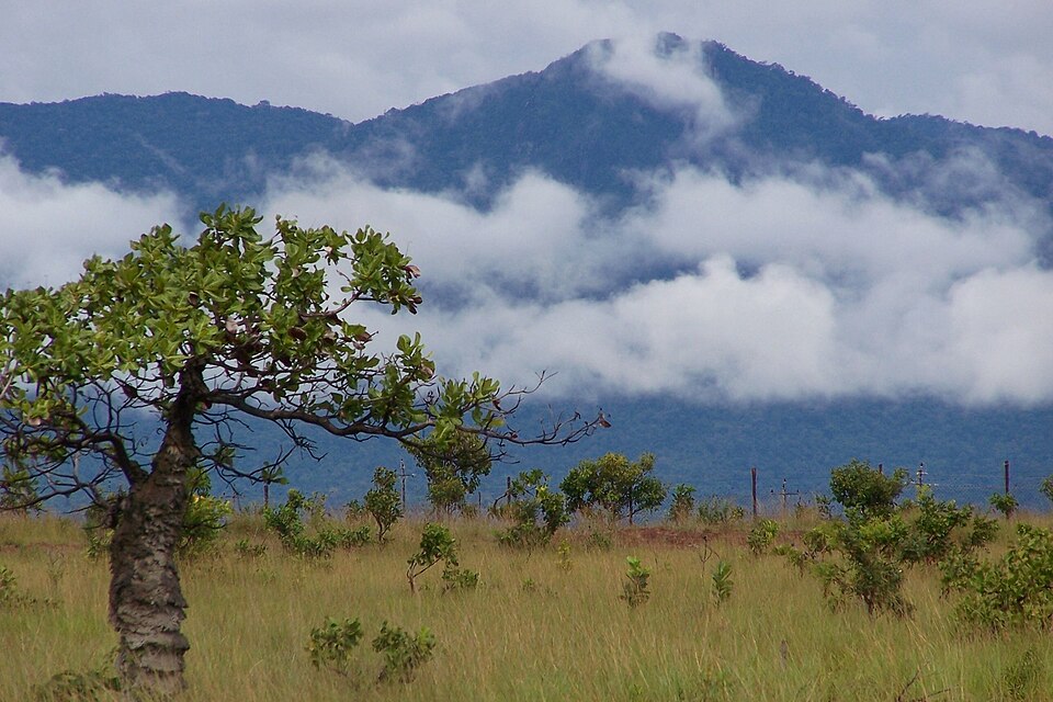
Rupununi Savannas & Kanuku Mountains
Southwestern Guyana contains the extensive Rupununi savannas, named after the Rupununi River. The forested Kanuku Mountains divide the savannas into northern and southern areas, while the surrounding landscape consists largely of grassland, scrub and scattered trees.
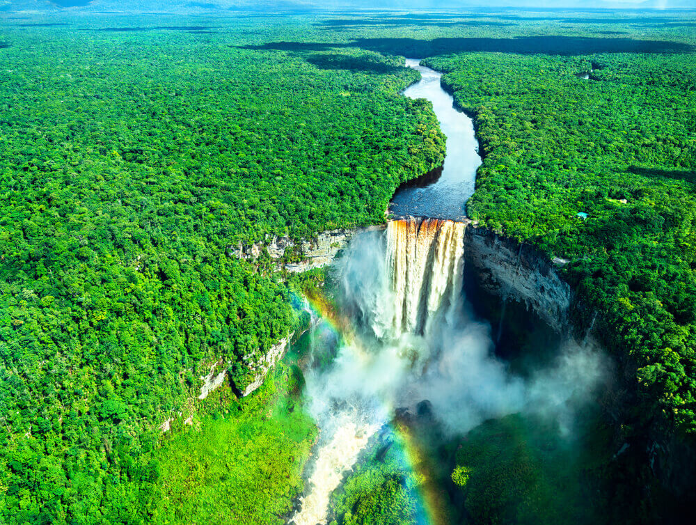
Rivers & Waterfalls
Guyana is crossed by numerous large rivers, including the Essequibo, Demerara, Berbice and Corentyne. The Essequibo is the country’s largest river and Kaieteur Falls is one of the world’s highest single-drop waterfalls.
See article: Flag of Guyana
Guyana flag
Before independence, Guyana was known as British Guiana and used colonial flags based on the British Blue Ensign. The modern national flag was designed by American vexillologist Whitney Smith, whose winning 1962 competition entry featured the distinctive arrowhead shape.
Following some modifications, the flag was officially adopted on 26 May 1966, the day Guyana gained independence. It has since been known as the “Golden Arrowhead.”
Image credits:
Guyana (centered orthographic projection): Connormah, via Wikimedia Commons, licensed under CC BY-SA 3.0.

Caitriona Maria is an education writer and owner of The Facts Institute. With seven years of teaching experience and a background in educational content, she specialises in creating clear reference resources about countries, geography and global topics.