Explore flags from around the world with our free printable country flag charts. Each PDF features national flags with their country names, arranged alphabetically to make them easier to learn and recognise.
These printable flag charts are organized by continent and are suitable for classroom activities, homeschooling, geography lessons and independent study.
Printable world flags by continent
Browse the collections below to view and download country flags with names in PDF format. Each printable is designed for US Letter paper and can also be printed on A4 using your printer’s scaling settings.
African Flags Printable
Explore the flags of all 54 African countries, from Algeria to Zimbabwe. Each flag is labeled with its country name and arranged alphabetically across two pages.
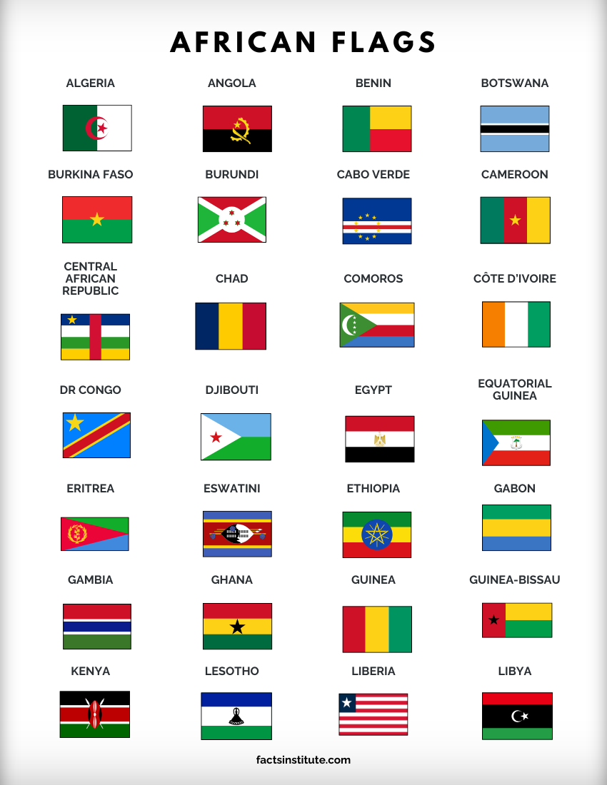
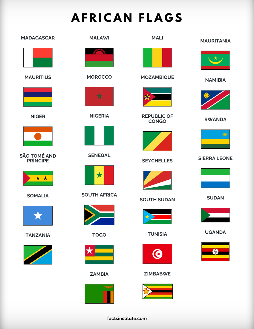
View and download the African flags printable
Asian Flags Printable
Our Asian flags printable features 49 country flags with names, arranged alphabetically across two pages. It’s a useful reference for learning and identifying the national flags of Asia.
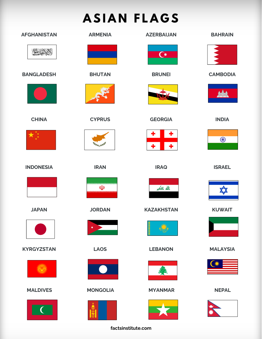
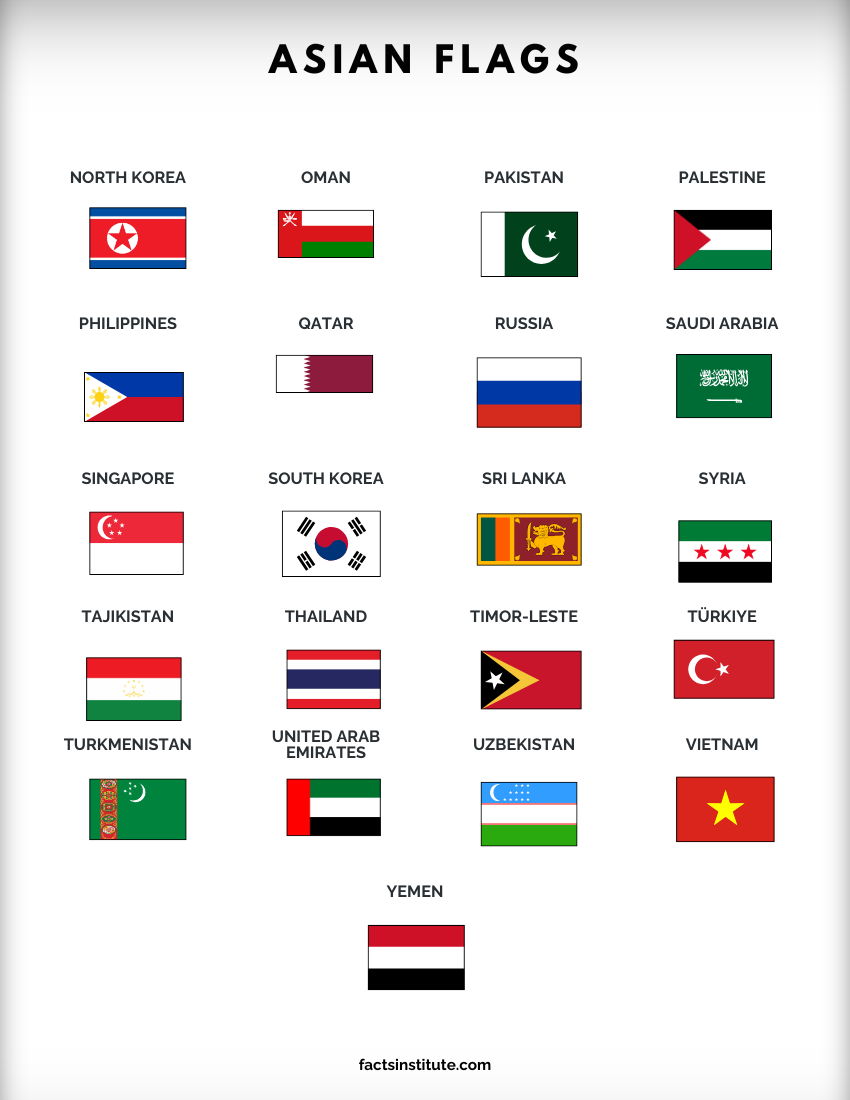
View and download the Asian flags printable
European Flags Printable
Learn the flags of 50 European countries with this free two-page printable. Each flag is clearly labeled with its country name, making it easy to use for geography lessons and revision.
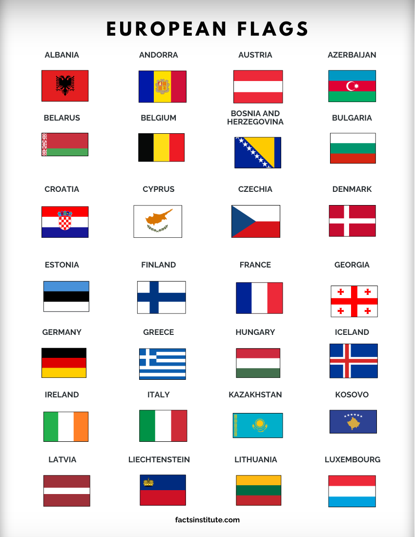
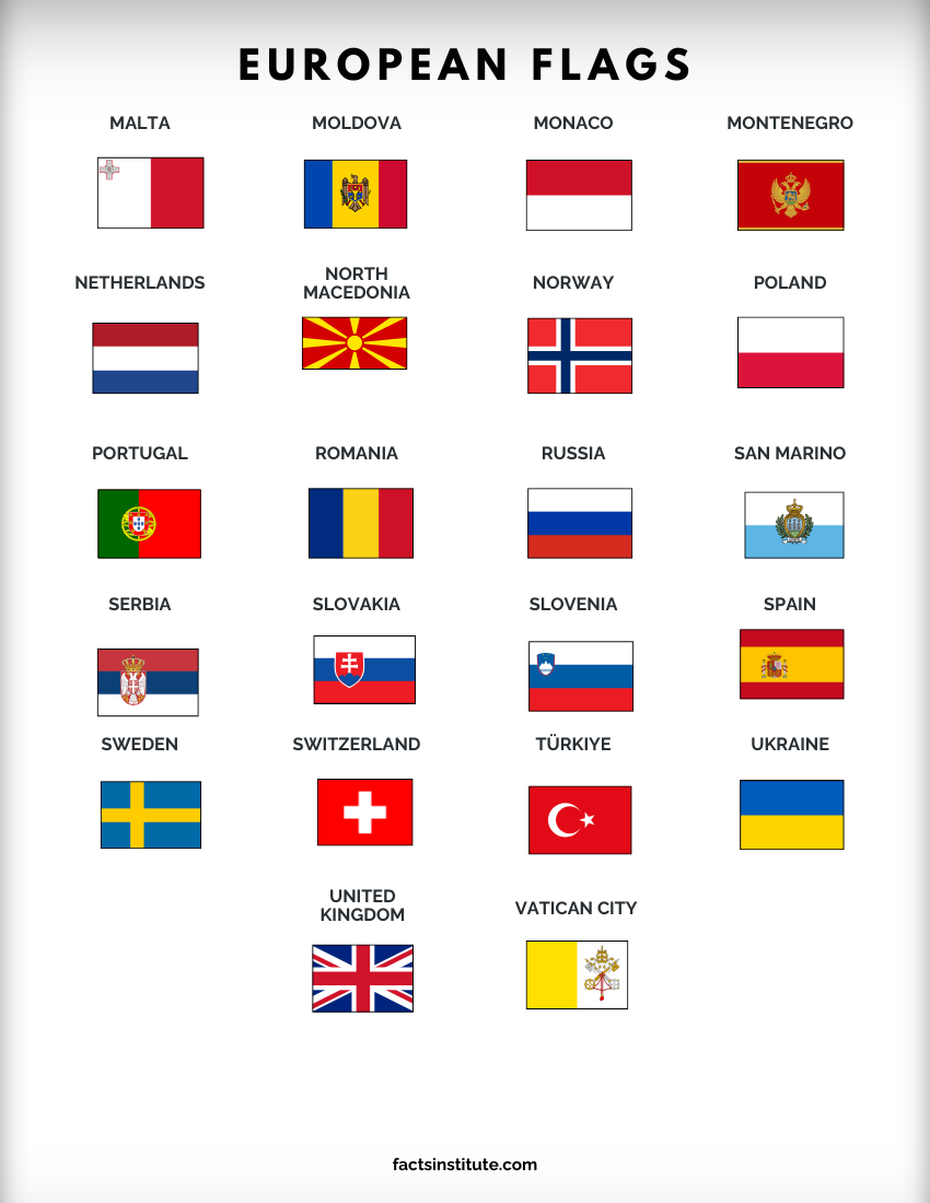
View and download the European flags printable
North American Flags Printable
This printable includes the flags of all 23 North American countries, including countries in Central America and the Caribbean. The flags are arranged alphabetically and labeled with their country names.
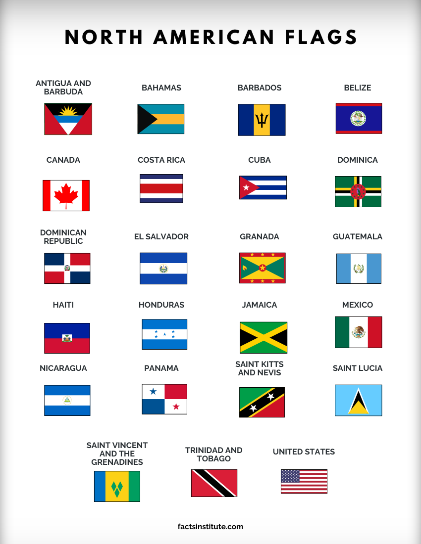
View and download the North American flags printable
South American Flags Printable
Explore the national flags of South America’s 12 countries with this free printable reference chart. Each flag is labeled and arranged alphabetically to make learning and recognition easier.
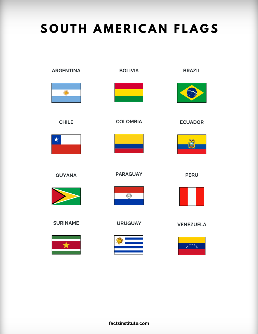
View and download the South American flags printable
Oceania Flags Printable
Our Oceania flags printable features 16 country flags with names, including Australia, Fiji, New Zealand and other Pacific island nations. The flags are arranged alphabetically for easy reference.
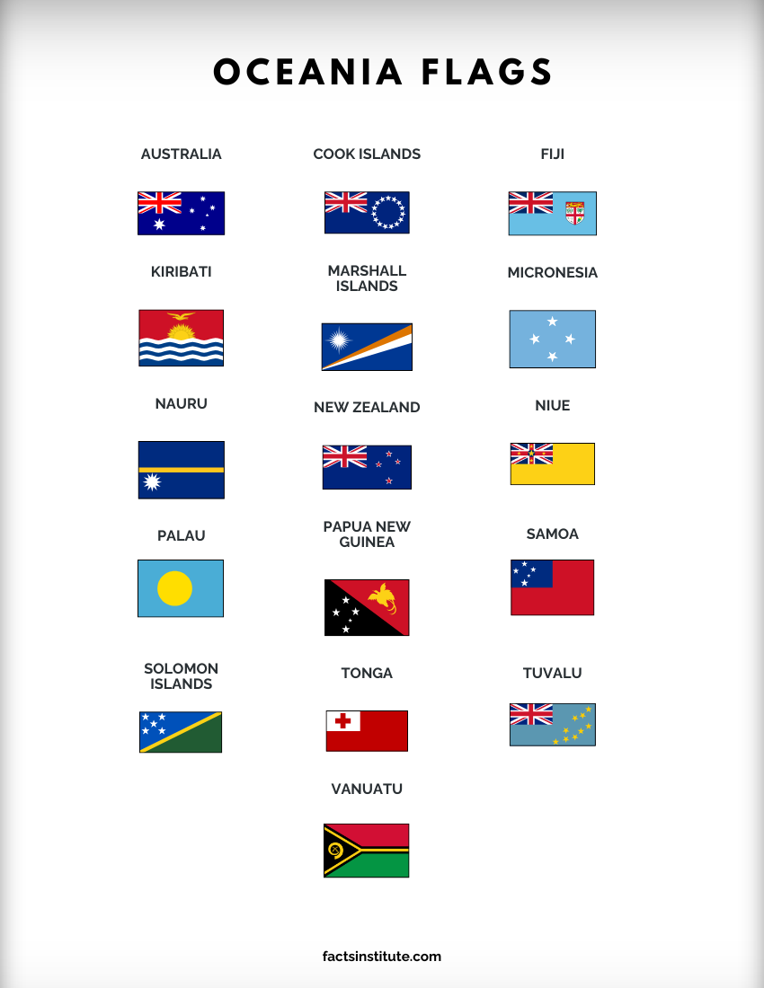
View and download the Oceania flags printable
How to use these printable flag charts
These world flag printables can be used in several ways. Here are some ideas:
- Flag identification: Practise matching national flags with their country names.
- Geography lessons: Use the charts alongside maps to learn where different countries are located.
- Quizzes and revision: Cover the country names and try to identify each flag from memory.
- Classroom displays: Print the charts to create a visual reference for students.
These materials are provided for personal, educational and non-commercial use only. Redistribution, resale or commercial use is prohibited.

Caitriona Maria is an education writer and owner of The Facts Institute. With seven years of teaching experience and a background in educational content, she specialises in creating clear reference resources about countries, geography and global topics.