10 fun facts about Cabo Verde
1. Cabo Verde is an island nation made up of 10 islands and several islets off the west coast of Africa.
2. The islands were uninhabited when Portuguese explorers arrived in the 15th century.
3. The country was commonly known in English as Cape Verde until 2013, when it asked the United Nations to use its Portuguese name, Cabo Verde.
4. Morna is the national music of Cabo Verde. This slow, soulful style often explores love, longing, separation and the homeland.
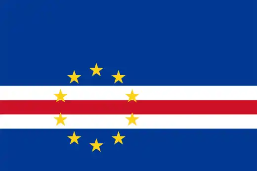
5. Although Cabo Verde’s name includes the word “verde” (green), the modern flag intentionally avoids the color green, influenced by the country’s dry climate and frequent droughts.
6. Cabo Verde is one of the world’s most important nesting sites for loggerhead turtles.
7. Cabo Verde’s highest point is Pico do Fogo, an active volcano that last erupted in 2014–2015.
8. A traditional dish in Cabo Verde is cachupa, a hearty stew made with hominy, beans, herbs, cassava, and meat or fish.
9. Bats are the only native land mammals in Cabo Verde.
10. There are more Cabo Verdeans living outside of Cabo Verde than there are on the islands.
Read more: Facts about Cabo Verde
At a glance
Capital city: Praia
Population: 527,000 (2025 estimate)
Area: 4,033 sq km
Major languages: Portuguese and Cape Verdean Creole/Kriolu
Major religions: Christianity
Time zone: UTC-1 (Cape Verde Time)
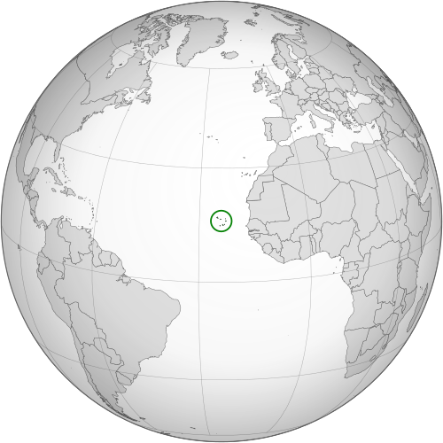
Where is Cabo Verde?
Continent: Africa
Region: Atlantic Ocean, off West Africa
Neighboring countries: None. The nearest country is Senegal.
Highest point: Pico do Fogo (2,829 m / 9,281 ft)
Geography of Cabo Verde
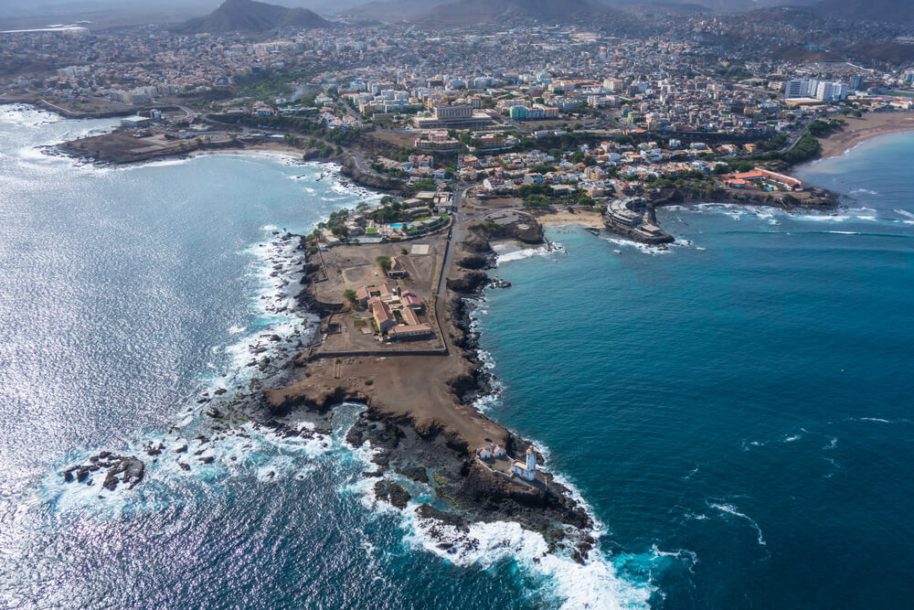
Cabo Verde is an island country in the Atlantic Ocean, off the west coast of Africa.
The archipelago is volcanic in origin and is made up of rugged mountains, dry valleys, sandy beaches and coastal plains.
Atlantic Archipelago
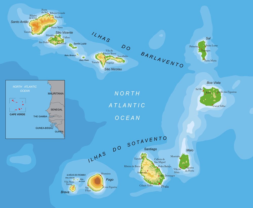
Cabo Verde is made up of 10 main islands and several smaller islets. The islands are usually divided into two groups: the northern Barlavento Islands and the southern Sotavento Islands.
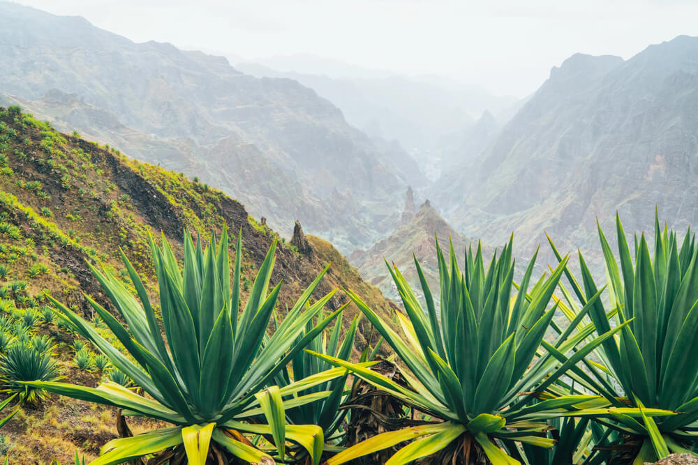
Volcanic Islands
The islands of Cabo Verde were formed by volcanic activity. Some islands, such as Santo Antão, São Nicolau and Santiago, have steep mountains and deep valleys, while others are flatter and drier.
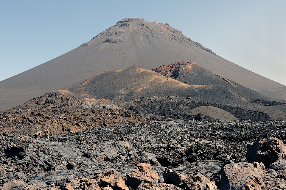
Pico do Fogo
Pico do Fogo is an active volcano on the island of Fogo. It is the highest point in Cabo Verde and one of the country’s most dramatic natural landmarks.
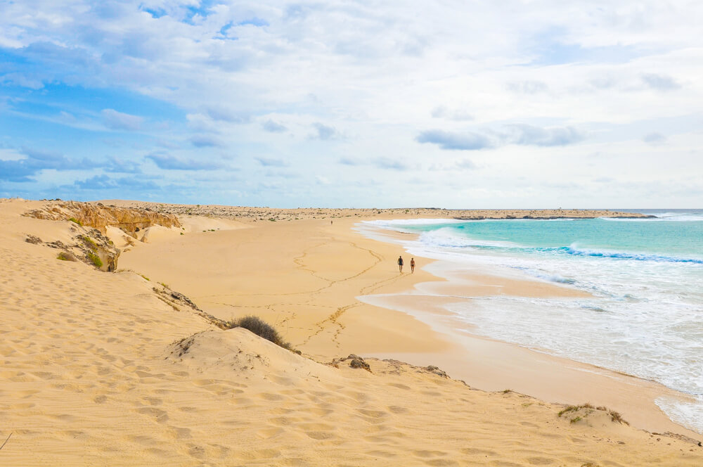
Beaches and Dry Landscapes
Cabo Verde has a mostly dry climate, with many areas of desert-like scenery, rocky plains and miles of sandy beaches. The islands of Sal and Boa Vista are especially known for their long beaches and dunes.
See article: Flag of Cabo Verde
Cabo Verde flag
The flag of Cabo Verde reflects the country’s history as a former Portuguese colony and Atlantic island nation. Before independence, Cabo Verde used the Portuguese flag, although a separate colonial-style flag was proposed in the 1960s and never adopted.
Cabo Verde gained independence in 1975 and first used a red, green and yellow flag based on the PAIGC independence movement. The current flag was adopted in 1992, after plans for union with Guinea-Bissau had ended.
Image credits:
Cabo Verde (centered orthographic projection): Waldyrious, New version: Flappiefh, via Wikimedia Commons, licensed under CC BY-SA 3.0.
Cape Verde Pico do Fogo: Cayambe, via Wikimedia Commons, licensed under CC BY-SA 3.0. Cropped.

Caitriona Maria is an education writer and owner of The Facts Institute. With seven years of teaching experience and a background in educational content, she specialises in creating clear reference resources about countries, geography and global topics.