A landlocked and sparsely-populated country in southern Africa, this major diamond-producing player is largely covered by desert and is prone to low rainfall and droughts.
Map of Botswana
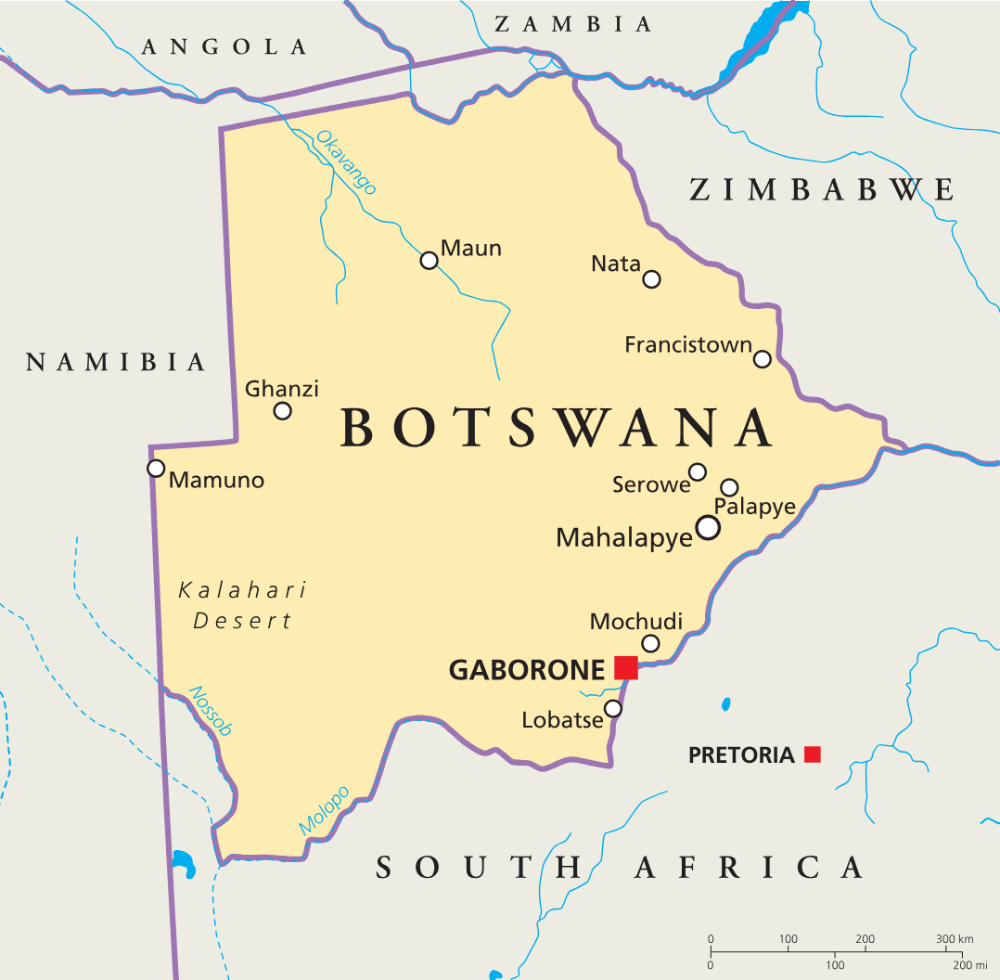
Key geography facts
1. Over 70% of Botswana is part of the Kalahari Desert region, which is not a typical sandy desert but a semi-arid area covered in grassland and scattered trees.
2. The Okavango Delta in the northwest is one of the world’s largest inland deltas and supports rich wildlife.
3. Botswana is mostly flat, with an average elevation of 1,000 meters (3,300 feet) and occasional rocky hills.
4. Rain falls mainly in summer (November to March), but droughts are common and can last several years.
5. About 20% of Botswana is forested, with a loss of 17.3% of its forest cover between 1990 and 2010, according to The Food and Agriculture Organization (FAO) of the United Nations.
Recommended reading: Fun Facts About Botswana
Botswana regions
Botswana is divided into 16 districts headed by councils. The following 10 district councils manage the rural areas:
- Central District
- Chobe District
- Ghanzi District
- Kgalagadi District
- Kgatleng District
- Kweneng District
- Ngamiland (North-West District)
- North-East District
- South-East District
- Southern District

There are six urban councils which comprise the areas of cities and towns. These are:
- Francistown City Council
- Gaborone City Council
- Jwaneng Town Council
- Lobatse Town Council
- Selebi Phikwe Town Council
- Sowa Town Council
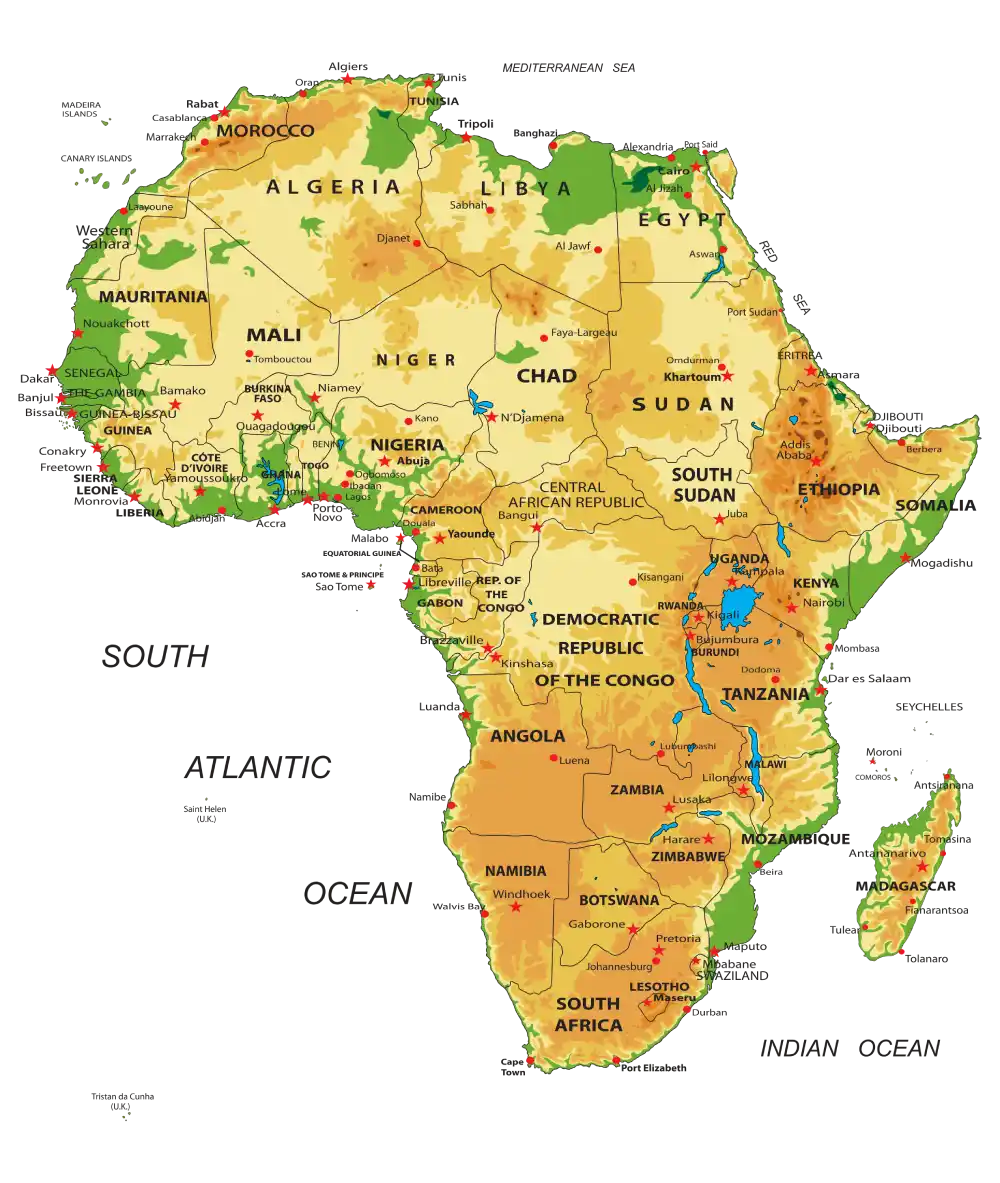
Map of Botswana in Africa
Botswana is bordered by Zambia to the north and Zimbabwe to the northeast, Namibia to the west and north and South Africa to the south and southeast.
Botswana major cities
Gaborone – The capital and largest city of Botswana, known for its political and economic significance, modern amenities, and as a hub for commerce and education. As of the 2022 census, Gaborone recorded a population of 246,325.

Francistown – The second-largest city in Botswana, known for its historical role in the country’s mining industry and as a growing commercial center. According to the 2022 census, Francistown has a population of 103,417.

Of Botswana’s 2.4 million people, about 1.7 million live in villages. This is largely due to cultural traditions and the fact that many villages serve as administrative and service hubs. Some of the largest villages include Mogoditshane (88,004 residents), Maun (85,350), and Molepolole (74,861).
Caitriona Maria is an education writer and owner of The Facts Institute. With seven years of teaching experience and a background in educational content, she specialises in creating clear reference resources about countries, geography and global topics.