Argentina covers most of the southern portion of South America and is the eighth-largest country in the world by land area and the second-largest in South America after Brazil.
Physical map of Argentina

Key geography facts
1. Argentina’s vast territory stretches from tropical regions in the north to subpolar areas in the south, giving it a wide range of climates and landscapes.
2. The Andes mountain range runs along Argentina’s western border with Chile. This mountain range includes Aconcagua, the tallest peak in the Southern and Western Hemispheres, standing at 6,962 meters (22,841 ft).
3. Argentina’s Pampas region is flat, fertile grasslands that cover the central part of the country. It is one of the world’s most productive agricultural areas, known for cattle ranching, vineyards, and growing grains such as wheat and corn.
4. The Patagonia region, encompassing Argentina and Chile, is known for its arid steppe, dramatic mountain ranges, and glaciers. It has a sparse population and is popular for outdoor tourism and wildlife, including penguins and guanacos.
5. Argentina has a strong urban population, with about 92 percent of its people living in cities. Buenos Aires, the capital, is one of the largest urban areas in Latin America and a major cultural and economic hub.

Recommended reading: Fun Facts About Argentina
Argentina regions
Argentina is often divided into the following traditional geographic regions, shaded below:
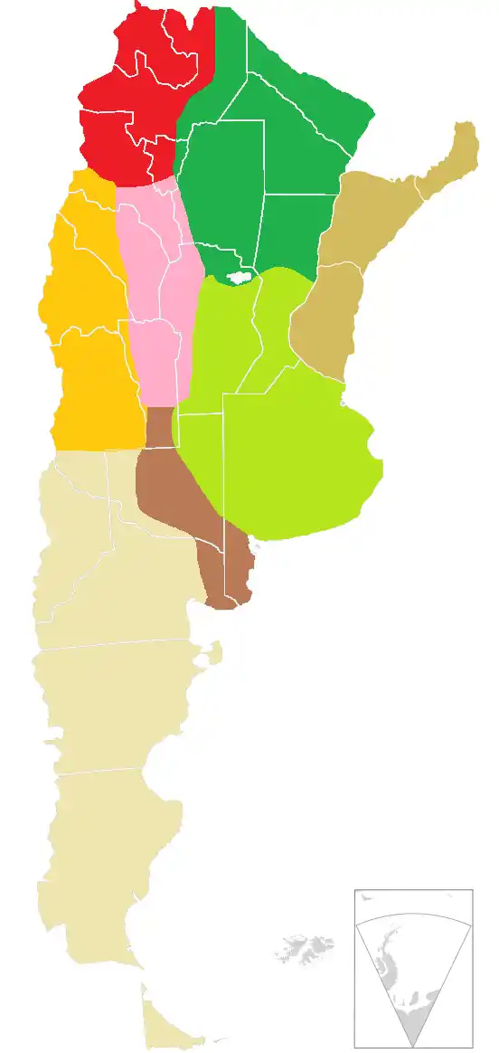
Argentine Northwest
Red – includes the provinces of Catamarca, Jujuy, La Rioja, Salta, Santiago del Estero and Tucumán.
Gran Chaco
Dark green – covers part of the provinces of Chaco, Córdoba, Formosa, Salta, Santa Fe, Santiago del Estero, and Tucumán.
Mesopotamia (Littoral)
Tan or light brown – includes Misiones, Corrientes, and Entre Ríos.
Cuyo
Golden orange – includes Mendoza, San Juan, and San Luis.
Pampas
Shown in light green (humid pampas) and dark brown (dry pampas), this region includes parts of Buenos Aires, Córdoba, Entre Ríos, La Pampa and Santa Fe.
Sierras Pampeanas
Pink – mountainous region covering Catamarca, Córdoba, La Rioja, San Luis, San Juan, Santiago del Estero and Tucumán.
Patagonia
Beige – includes parts of Buenos Aires province, as well as Chubut, Neuquén, Río Negro, Santa Cruz, and Tierra del Fuego.
Antarctica and South Atlantic Islands
Grey – includes Argentina’s claimed territories in Antarctica and the South Atlantic, including the British-ruled Falkland Islands (Islas Malvinas).
Map of Argentina in South America
Argentina’s neighboring countries are Chile to the west, Bolivia and Paraguay to the north, and Brazil and Uruguay to the northeast.
Argentina major cities
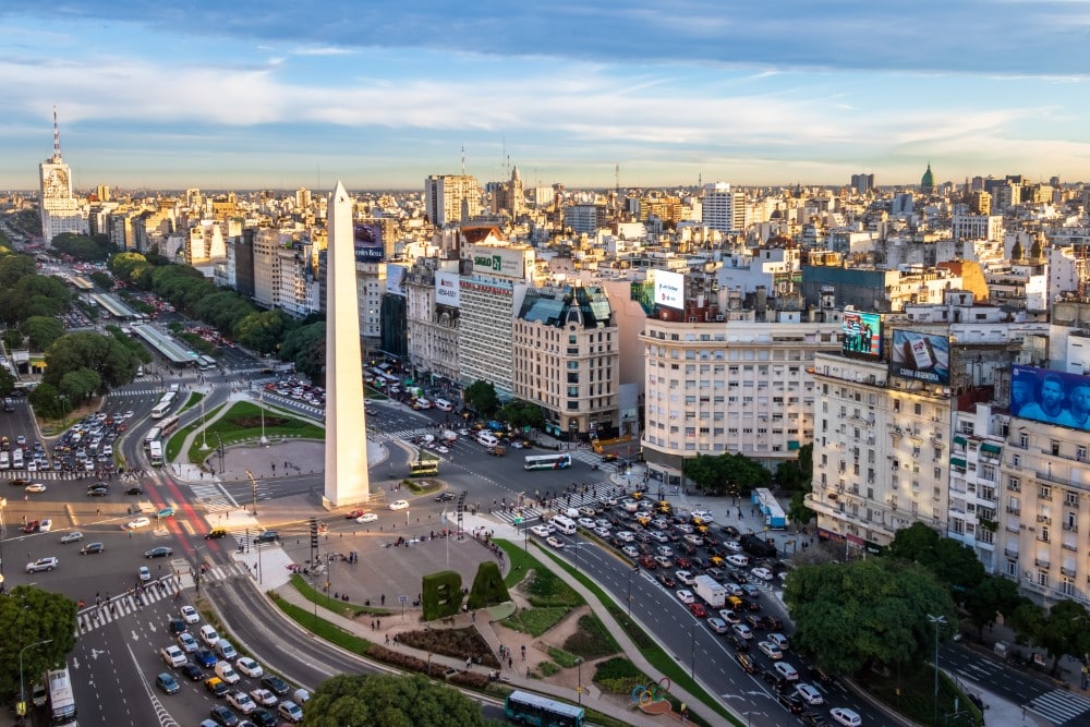
Buenos Aires – The capital and largest city, renowned for its rich cultural life, historic architecture, and vibrant arts scene.
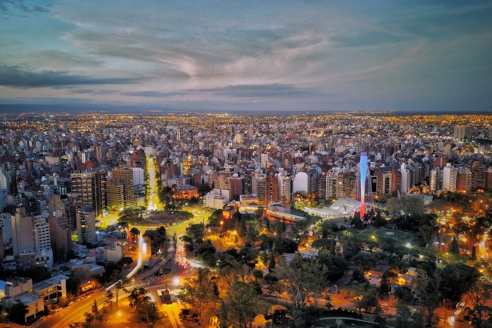
Córdoba – An important cultural and economic center, recognized for its colonial architecture and vibrant student population.
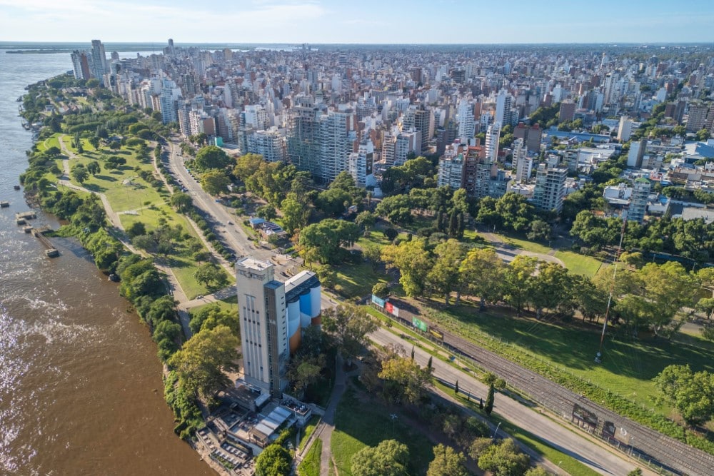
Rosario – A major port city known for its significant role in the agricultural industry and its vibrant night scene.
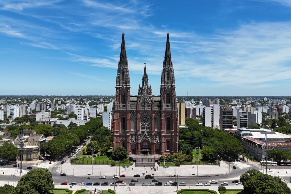
La Plata – The capital of Buenos Aires Province, recognized for its exceptionally planned city layout, museums, and academic institutions.
Mar del Plata – A popular beach resort city, its beautiful coastline and casinos make it a major tourist destination.

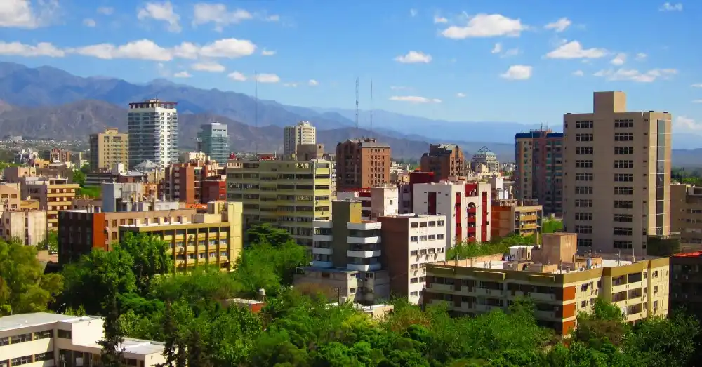
Mendoza – Famous for its wine production, especially Malbec, and as a gateway to the Andes mountains.
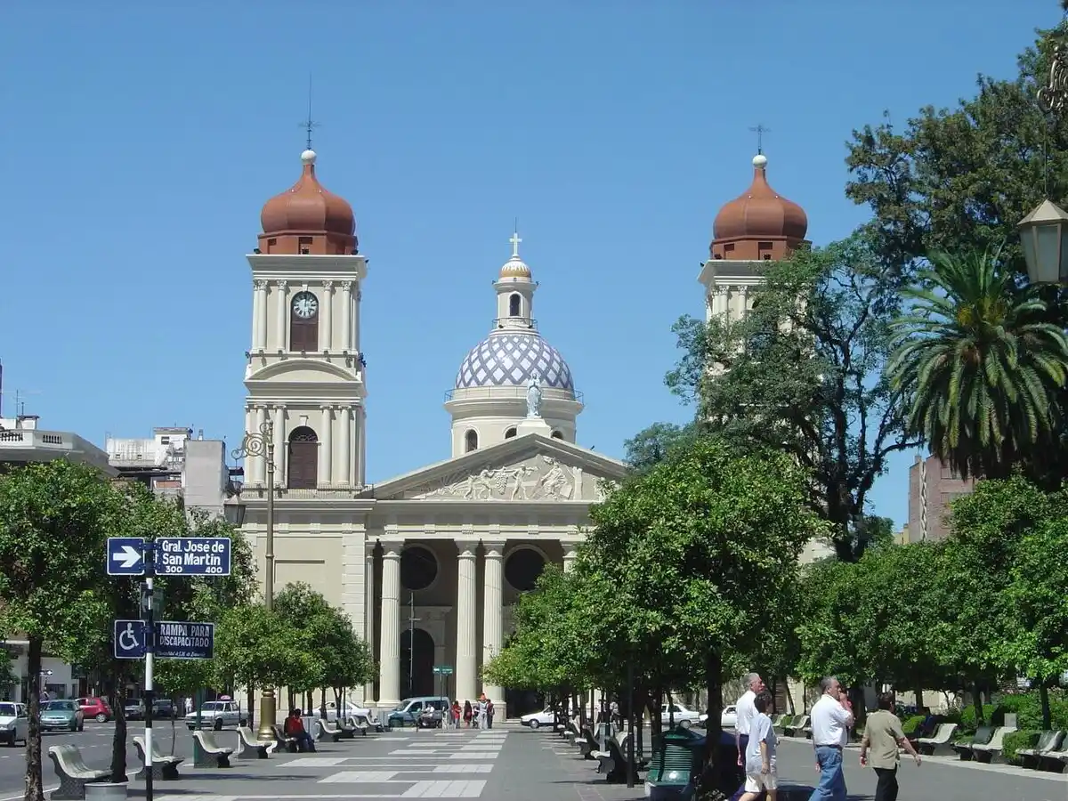
San Miguel de Tucumán – Known as the “garden of the republic,” it is significant for its rich fauna, mild climate and agricultural activities.
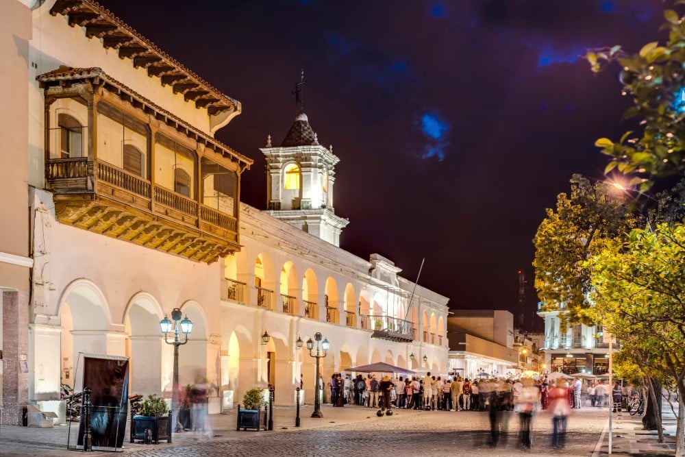
Salta – Known for its colonial architecture, vibrant festivals, and as a gateway to the scenic northwest of Argentina.
Santa Fe de la Vera Cruz – A significant city in agriculture and industry, with historical architecture and river port.
San Juan – Another important city in wine production, known for its historic sites and natural beauty.
Quilmes – A city in the Greater Buenos Aires area, known for its historical significance, industrial base, and as the birthplace of the famous Quilmes beer brand.
Caitriona Maria is an education writer and owner of The Facts Institute. With seven years of teaching experience and a background in educational content, she specialises in creating clear reference resources about countries, geography and global topics.

Ivy Hollys is a freelance content writer for integrity-based information platforms. Her work focuses on presenting clear and accurate information about global topics. With a background in natural resource conservation, she brings a research-driven approach to writing accessible and reliable reference content.