10 fun facts about Burundi
1. Burundi is one of the few countries with two capital cities. Gitega is the political capital, while Bujumbura remains the economic capital.
2. Lake Tanganyika, which borders Burundi, is the world’s longest freshwater lake and the second-deepest freshwater lake on Earth.
3. Burundi is home to Gustave, a famous man-eating Nile crocodile from Lake Tanganyika said to have attacked hundreds of people.
4. Burundi won its first Olympic gold medal in its debut Olympic appearance. Vénuste Niyongabo won gold in the men’s 5,000 meters at the 1996 Atlanta Games.
5. Cows are an important symbol of happiness, health and prosperity in Burundi. A traditional Kirundi greeting, amashyo, means “may you have many herds of cattle.”
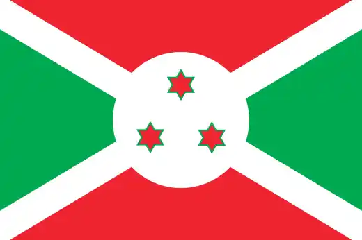
6. Burundi’s flag features three red stars, which are often said to represent the country’s three main ethnic groups: Hutu, Tutsi and Twa.
7. Banana beer is a traditional drink in Burundi and other parts of East Africa. It is often shared from a large container using long straws.
8. In 2014, group jogging was banned in Burundi after the government claimed it could be used as a cover for political unrest.
9. Burundi is one of Africa’s smallest countries, but it is also one of the continent’s most densely populated.
10. Over 80% of Burundians rely on subsistence agriculture to feed themselves and their families.
Read more: Facts about Burundi
At a glance
Capital city: Gitega (political), Bujumbura (economic)
Population: 14.4 million
Area: 27,830 sq km
Major languages: Kirundi, French, Swahili, English
Major religion: Christianity
Time zone: UTC+2 (Central Africa Time)

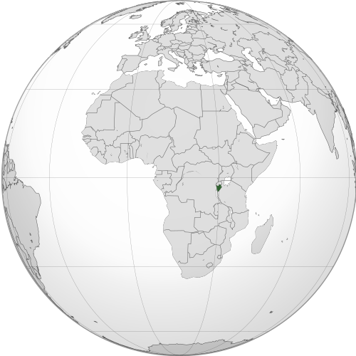
Where is Burundi?
Continent: Africa
Region: East Africa
Neighboring countries: Rwanda, Tanzania and the Democratic Republic of the Congo
Highest point: Mount Heha (2,760 m / 9,055 ft)
Geography of Burundi
Burundi is one of the smaller African countries and is a landlocked country in Eastern Africa, within the Great Lakes region.
Much of the country is made up of hills and high plateaus, with lower land in the west along Lake Tanganyika and the Rusizi River valley.
Lake Tanganyika
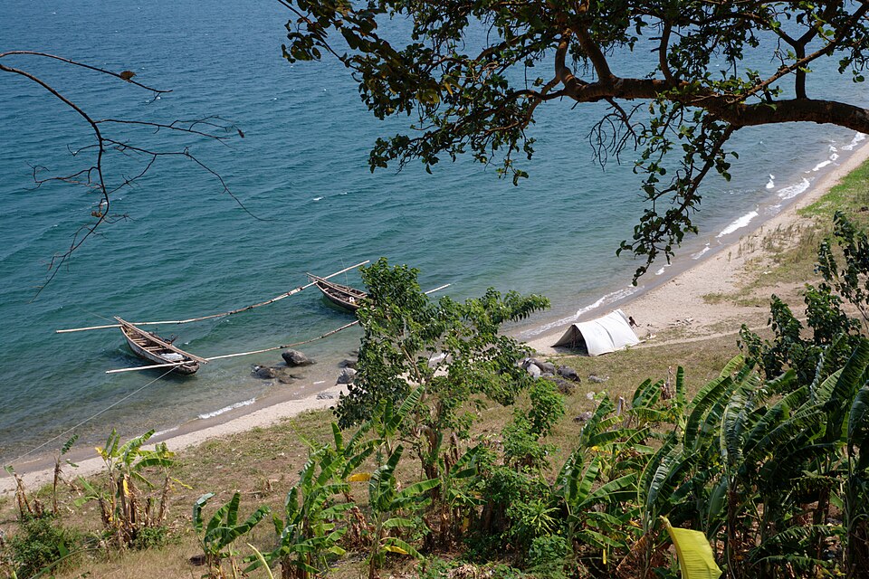
Lake Tanganyika forms part of Burundi’s southwestern border. It is one of the world’s deepest and oldest freshwater lakes, and the city of Bujumbura lies on its northeastern shore.
Burundi Highlands
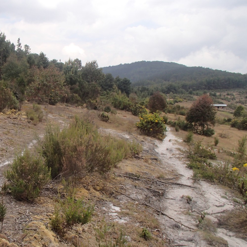
Western Burundi is dominated by highlands and mountains that form part of the Congo-Nile Divide. This upland region includes Mount Heha, the country’s highest point.
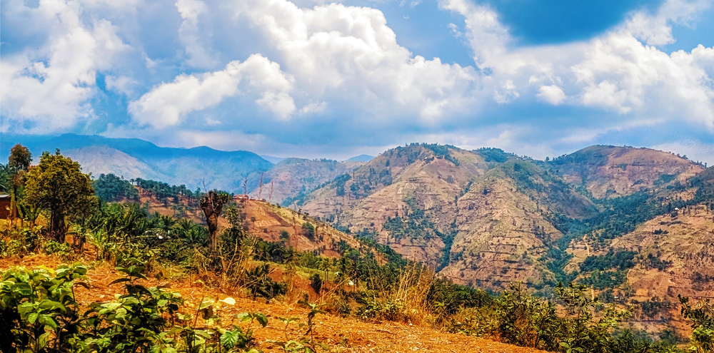
Central Plateau
Much of Burundi’s interior is made up of rolling hills and plateaus. This elevated area acts as a watershed for several rivers.
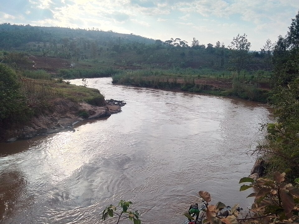
Rivers and Valleys
Burundi’s rivers flow into both the Nile and Congo river systems. Important waterways include the Ruvubu, Ruvyironza and Rusizi rivers.
See article: Flag of Burundi
Burundi flag
The flag of Burundi has its roots in independence in 1962. The first version included a royal drum, known as the karyenda, which symbolized the authority of the monarchy.
After Burundi became a republic in 1966, the royal drum was removed from the flag. A later version briefly featured a sorghum plant, before the modern design with three red stars was adopted in 1967.
Image credits:
Burundi (centered orthographic projection): Spesh531, via Wikimedia Commons, licensed under CC BY-SA 3.0.
Fishing Boats on Lake Tanganyika: Emesik, via Wikimedia Commons, licensed under CC BY-SA 3.0. Cropped.
Mount Heha in 2018: Eric Gilbertson, via Wikimedia Commons, licensed under CC BY-SA 4.0. Cropped.

Caitriona Maria is an education writer and owner of The Facts Institute. With seven years of teaching experience and a background in educational content, she specialises in creating clear reference resources about countries, geography and global topics.