10 fun facts about Burkina Faso
1. Burkina Faso was formerly known as Upper Volta. It changed its name in 1984 to Burkina Faso, meaning “Land of the Honest People.”
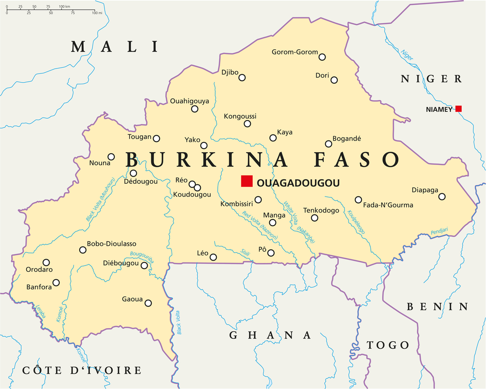
2. The capital city, Ouagadougou, is often shortened to Ouaga.
3. Burkina Faso has three main rivers named after colors: the Black Volta, Red Volta and White Volta.
4. Thomas Sankara was the first president of Burkina Faso after the country changed its name. He is also credited with writing Burkina Faso’s national anthem.
5. People from Burkina Faso are called Burkinabè (pronounced burr-KEE-na-bay).
6. The white stallion is an important national symbol. The national football team is nicknamed Les Étalons, meaning “The Stallions.” It is also the most common surname (Ouédraogo).
7. Burkina Faso has a high fertility rate, with an average of four births per woman.
8. Over 80% of Burkinabè people rely on subsistence agriculture to feed themselves and their families.
9. Until 2024, French was Burkina Faso’s only official language, even though it is spoken as a home language by only about 2% of the population.
10. The Sindou Peaks are one of Burkina Faso’s most unusual natural landmarks, with sharp sandstone formations shaped by wind and rain over millions of years.
Read more: Facts about Burkina Faso
At a glance
Capital city: Ouagadougou
Population: 24 million
Area: 274,200 sq km
Major languages: Mooré/Mossi, Dioula, Fula, Bissa, French
Major religions: Islam, Christianity, traditional faiths
Time zone: UTC (GMT)
Geography of Burkina Faso
Burkina Faso is one of the landlocked African countries and is located in West Africa.
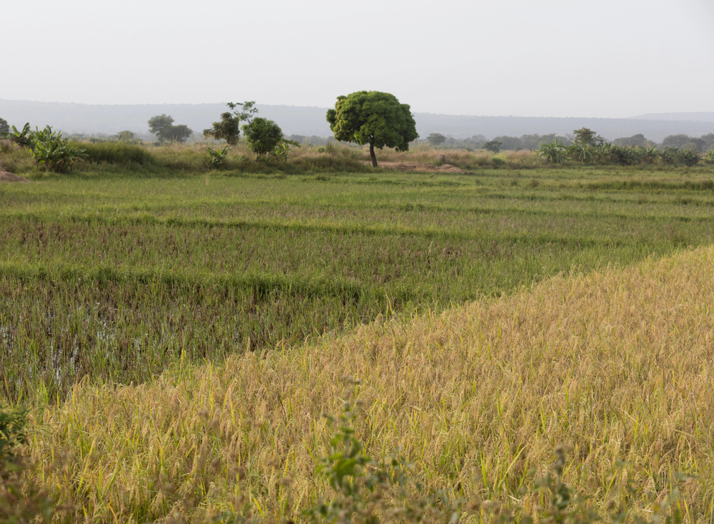
Much of the country is made up of flat or gently rolling plateau, with drier Sahel landscapes in the north and the most fertile savannas found in the south.
Plateaus and Plains
Much of Burkina Faso is made up of flat or gently rolling plateau. The land is generally low-lying, with scattered hills and higher sandstone areas in the southwest.
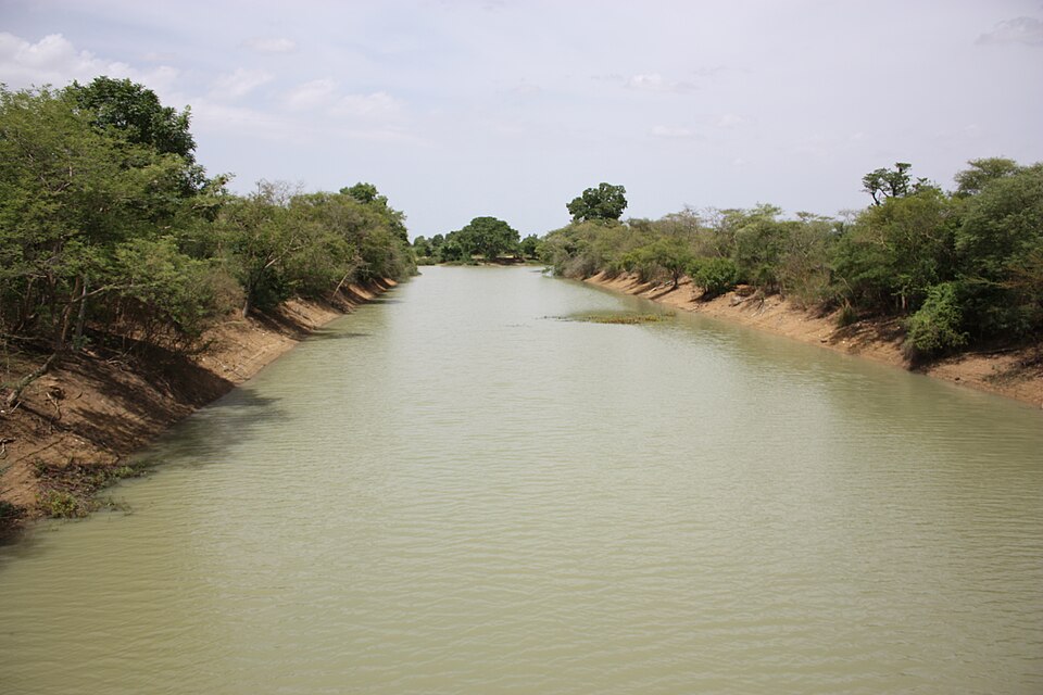
Volta Rivers
Burkina Faso was once known as Upper Volta, after the Volta River system. Its main rivers include the Black Volta, White Volta and Red Volta, which flow south toward Ghana.
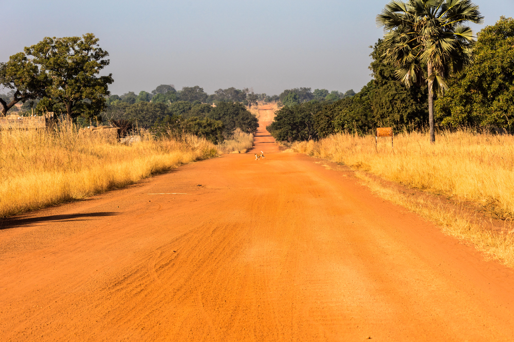
Sahel and Savanna
Northern Burkina Faso lies in the Sahel, a dry region south of the Sahara. Farther south, the landscape becomes greener, with savanna grassland, shrubs and scattered trees.
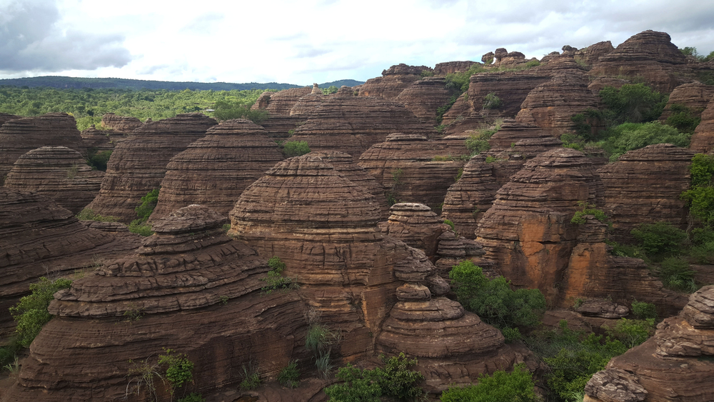
Sindou Peaks
The Sindou Peaks are one of Burkina Faso’s most distinctive natural landmarks. These sharp sandstone formations rise from the landscape in the southwest of the country.
See article: Flag of Burkina Faso
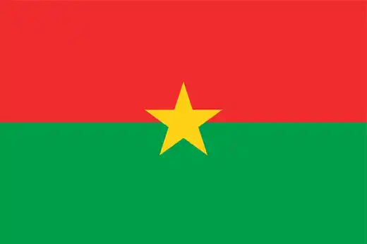
Burkina Faso flag
The flag of Burkina Faso was adopted in 1984, when the country changed its name from Upper Volta to Burkina Faso.
The modern red, green and yellow flag was introduced on 4 August 1984, the first anniversary of the revolution that brought Thomas Sankara to power. Its pan-African colors reflected the country’s new revolutionary identity.
Image credits:
Botswana (centered orthographic projection), Martin23230derivative work: F l a n k e r,derivative work: Flappiefh, via Wikimedia Commons, licensed under CC BY-SA 3.0.
Mouhoun near Dedougou MS 2234: Marco Schmidt [1], via Wikimedia Commons, licensed under CC BY 3.0. Cropped.

Caitriona Maria is an education writer and owner of The Facts Institute. With seven years of teaching experience and a background in educational content, she specialises in creating clear reference resources about countries, geography and global topics.