10 fun facts about Botswana
1. The Kalahari Desert covers much of Botswana, possibly as much as 70% of the country.
2. Botswana’s Makgadikgadi Pans, one of the largest salt pans in the world, are the salty remains of an ancient inland sea that may once have covered up to 275,000 sq km (about the size of New Zealand).
3. Botswana’s currency is called the pula, meaning “rain” in Setswana.
4. Botswana has the world’s largest elephant population, with around 130,000 elephants.
5. Botswana’s flag is light blue, black and white. Its black stripe and white borders were inspired by the markings of a zebra.
6. The Tsodilo Hills are nicknamed the “Louvre of the Desert” and contain more than 4,500 rock paintings. The area also has evidence of human activity going back at least 100,000 years.
7. Mopane worms, which are actually caterpillars, are a popular food in Botswana. They are often dried or cooked in tomato and peanut stews.
8. Taylor Swift’s Wildest Dreams music video was filmed in Botswana.
9. Botswana is the world’s second-largest producer of diamonds after Russia.
10. The Okavango Delta in Botswana is one of the world’s few major inland deltas that does not flow into a sea or ocean. Its annual floods arrive during Botswana’s dry season.
Read more: Facts about Botswana

At a glance
Capital city: Gaborone
Population: 2.6 million
Area: 581,730 sq km
Major languages: Setswana, Sekalanga, Shekgalagadi, English
Major religions: Christianity, traditional indigenous beliefs
Time zone: UTC+2 / Central Africa Time
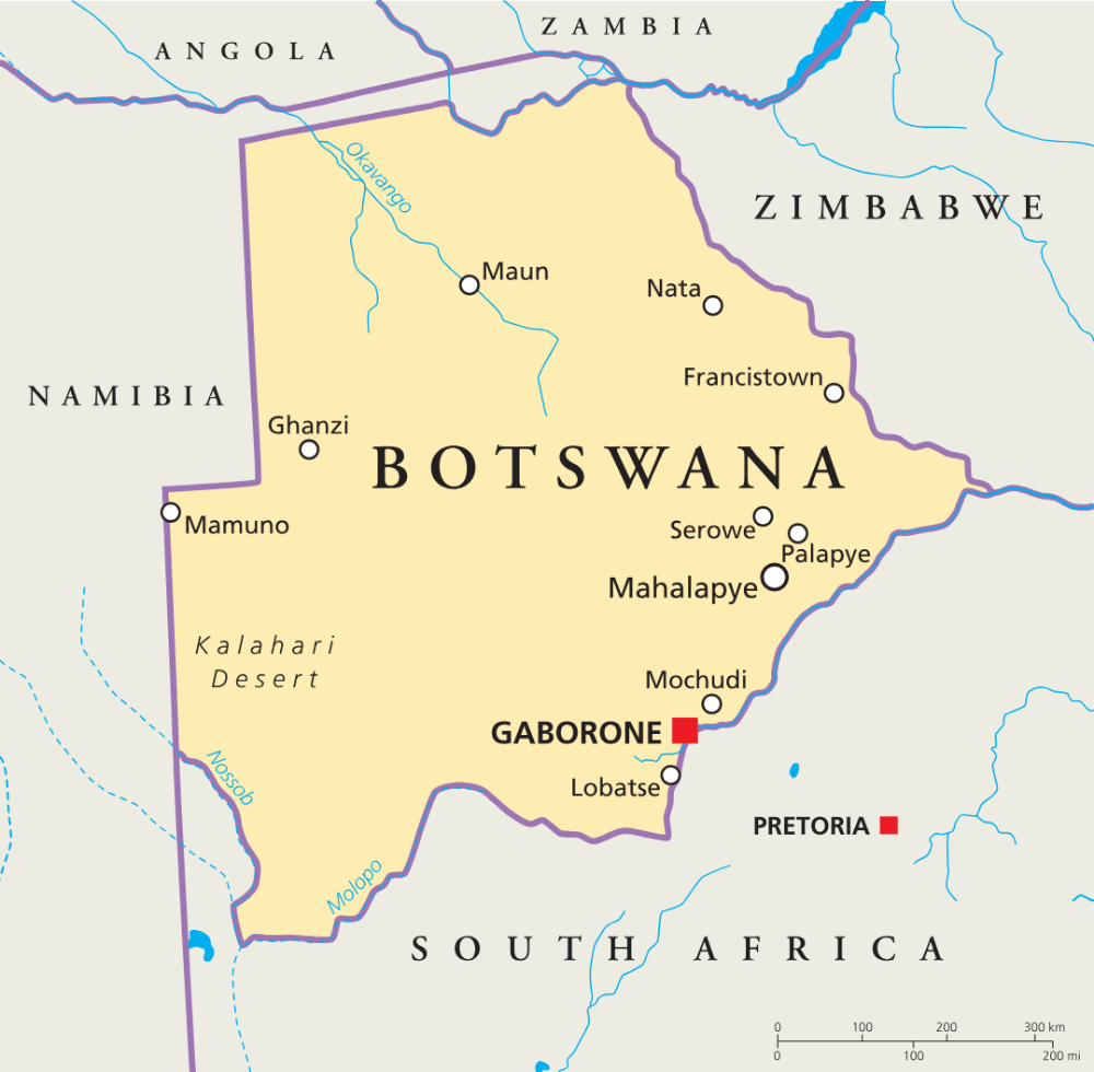
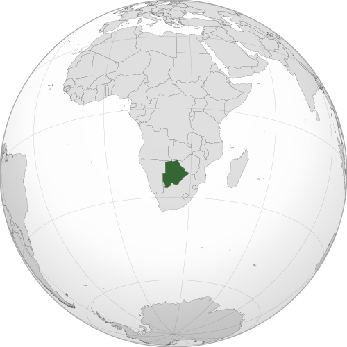
Geography of Botswana
Botswana is one of the landlocked African countries and lies in Southern Africa.
It is largely flat and semi-arid, with much of the country lying within the Kalahari, while the north is home to wetlands, rivers and vast salt pans.
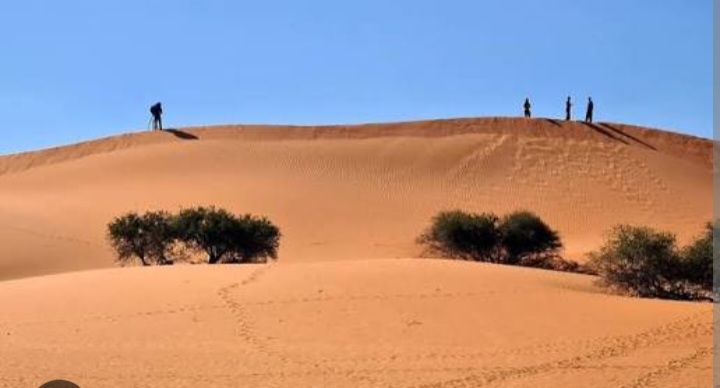
Kalahari Desert
Much of Botswana lies within the Kalahari Desert, a vast semi-arid landscape of sandy plains, grassland and scrub.
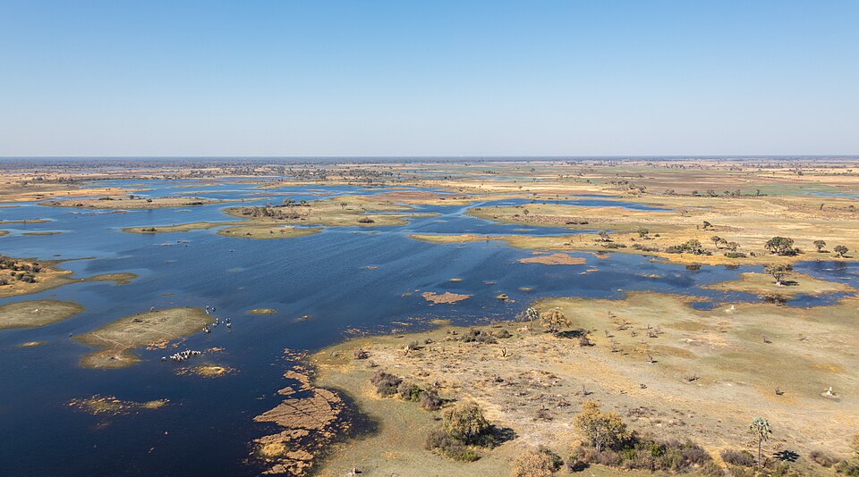
Okavango Delta
The Okavango River spreads across northwestern Botswana. Rather than flowing into the sea, its waters feed permanent marshes and seasonally flooded plains.
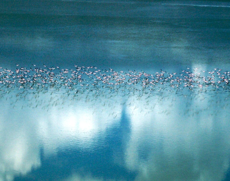
Makgadikgadi Pans
The Makgadikgadi Pans are one of the world’s largest salt-pan systems. They are the remains of an ancient inland sea and can briefly become wetlands during the rainy season.
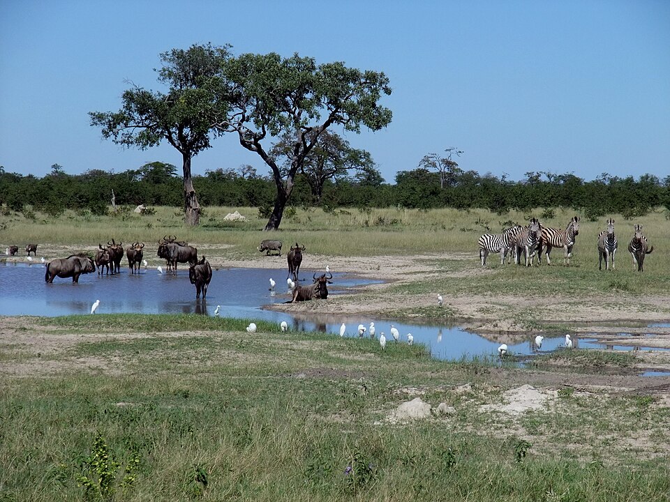
Chobe River and Wetlands
The Chobe River forms part of Botswana’s northern border with Namibia. Its floodplains, swamps and woodland create one of the country’s greenest landscapes and form part of Chobe National Park.
See article: Flag of Botswana
Botswana flag
The flag of Botswana was adopted when the country gained independence from Britain in 1966. Before this, the territory was known as the Bechuanaland Protectorate and used the Union Jack, with no separate colonial flag.
Botswana’s new flag was first raised at midnight on 30 September 1966. Its light blue, black and white design was deliberately chosen to stand apart from the apartheid-era flag of neighboring South Africa.
Image credits:
Botswana (centered orthographic projection): M.Bitton, via Wikimedia Commons, licensed under CC BY-SA 4.0.
Flamingo migration Makgadikgadi Pan: ed glickman from edina, usa, via Wikimedia Commons, licensed under CC BY 2.0. Cropped.
Vista aérea del delta del Okavango, Botsuana: Diego Delso, via Wikimedia Commons, licensed under CC BY-SA 4.0. Cropped.

Caitriona Maria is an education writer and owner of The Facts Institute. With seven years of teaching experience and a background in educational content, she specialises in creating clear reference resources about countries, geography and global topics.