10 fun facts about Niger
1. Niger is named after the Niger River, which flows through the southwest of the country. The river is the third-longest in Africa after the Nile and Congo.
2. Nearly four-fifths of Niger is desert, with much of the country lying within the Sahara.
3. Agadez is known as the “gateway to the desert.” The UNESCO-listed city was once an important crossroads for trans-Saharan caravan trade.
4. The Grand Mosque of Agadez has a 27-meter (89-foot) minaret made entirely of mud brick, the tallest such structure in the world.
5. Niger is home to the enormous Aïr and Ténéré Natural Reserves, one of the largest protected areas in Africa. It boasts outstanding varieties of landscape, animals and plants.
6. The Cure Salée festival in Ingal, northern Niger, brings together nomadic communities from across the Sahara after the rainy season for music, dancing and social celebrations.
7. At the Gerewol festival, Wodaabe men dress elaborately and perform dances to impress women, who traditionally choose the men they find most attractive.
8. Niger is home to the Dabous giraffe carvings, two enormous prehistoric rock engravings thought to be around 7,000–10,000 years old.
9. Niger has a dinosaur named after it. Nigersaurus, meaning “Niger lizard,” was a plant-eating dinosaur that lived roughly 100 million years ago.
10. Niger shares the W-Arly-Pendjari protected complex with Benin and Burkina Faso, an important refuge for elephants, lions, cheetahs and other wildlife.
Read more: Facts about Niger
At a glance
Capital city: Niamey
Population: 27.9 million
Area: 1,267,000 sq km
Major languages: Hausa and indigenous languages
Major religions: Islam
Time zone: UTC+1 (West Africa Time)
Geography of Niger
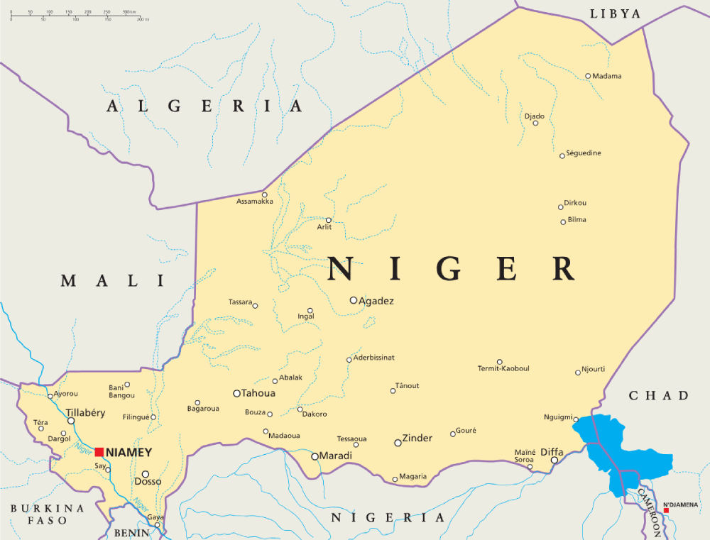
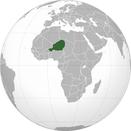
Niger is one of the largest landlocked African countries and lies in Western Africa.
Most of the country lies within the Sahara Desert, while the south forms part of the semi-arid Sahel.
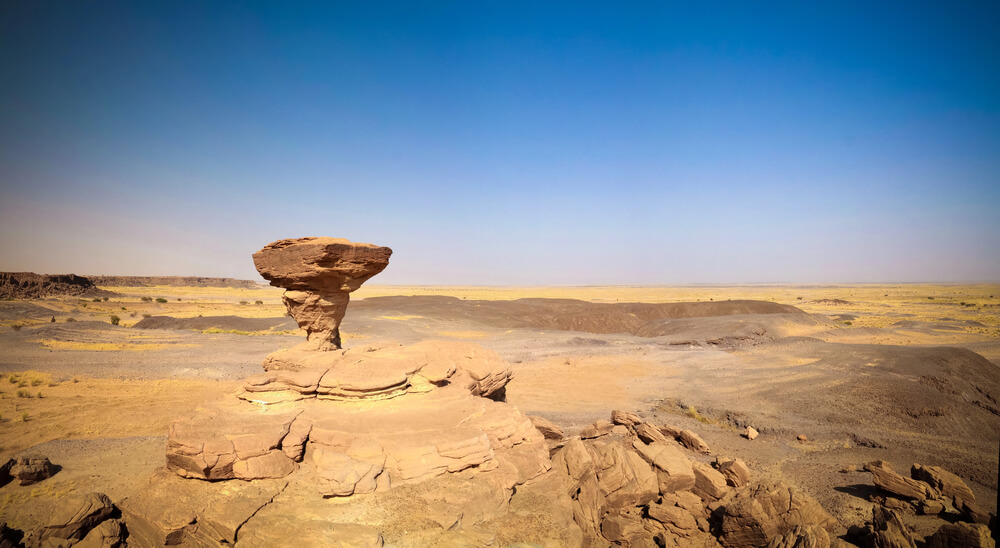
Sahara Desert & Sahel
Three-quarters of Niger lies within the Sahara, where vast desert plains dominate the north and the east. To the south, the desert gradually gives way to the Sahel and Sahelo-Sudanian zone, where greater rainfall supports grasslands, farming and most of the country’s population.
Aïr Mountains & Central Highlands
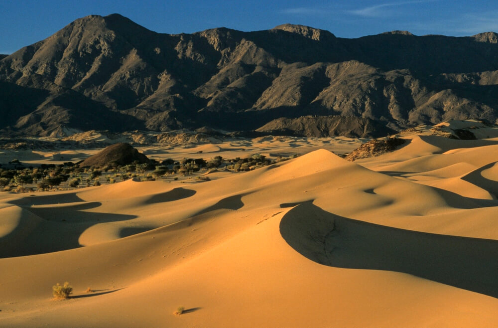
The Aïr Mountains rise dramatically from the surrounding desert in northern Niger. This rugged mountain massif includes Mont Idoukal-n-Taghès, the highest point in Niger.
Niger River & Southwest
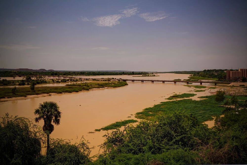
The Niger River flows through the far southwest of the country, passing near the capital, Niamey, before continuing into Benin and Nigeria. The Niger River is one of West Africa’s most important rivers, stretching about 4,180 kilometers (2,600 miles).
Lake Chad Basin
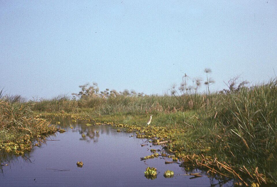
Southeastern Niger forms part of the Lake Chad Basin, with the Komadougou Yobe River flowing towards Lake Chad along part of Niger’s border with Nigeria. Once the sixth-largest lake in the world, Lake Chad has shrunk 90% since the 1960s.
See article: Flag of Niger
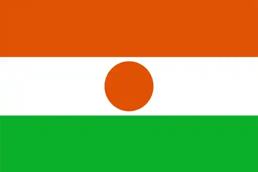
Niger flag
Niger’s national flag was adopted on 23 November 1959, less than a year before the country gained independence from France.
Its orange, white and green stripes are commonly associated with the Sahara Desert, purity and Niger’s fertile southern lands, while the orange disc is generally interpreted as representing the sun.
Image credits:
Lake Chad: Institute of Ethnology and Cultural Anthropology, Adam Mickiewicz University, via Wikimedia Commons, licenced under CC BY-SA 3.0 PL. Cropped.

Caitriona Maria is an education writer and owner of The Facts Institute. With seven years of teaching experience and a background in educational content, she specialises in creating clear reference resources about countries, geography and global topics.