10 fun facts about Nigeria
1. Nigeria is Africa’s most populous country, with more people than any other nation on the continent.
2. More than 500 indigenous languages are spoken across Nigeria, making it one of the most linguistically diverse countries.
3. Nigeria’s film industry is known as Nollywood and produces about 2,500 films a year.
4. The Nigerian town of Igbo-Ora is nicknamed the “Twins Capital of the World” because of its unusually high rate of twin births, with around 50 sets of twins per 1,000 births recorded in the area.
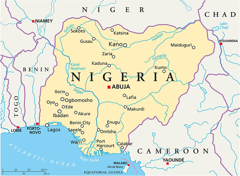
5. Lagos was Nigeria’s capital until 1991, when the capital was moved inland to the specially planned city of Abuja.
6. The famous Benin Bronzes were created in the Kingdom of Benin, centered on what is now Benin City in southern Nigeria. The artworks include thousands of intricate brass and bronze plaques and sculptures.
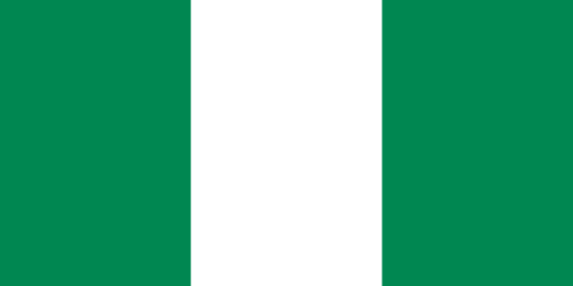
7. Nigeria’s green-white-green flag originally had a red sun in the center when it was submitted as part of a national flag competition. The sun was removed before the final design was adopted.
8. The UNESCO-listed Osun-Osogbo Sacred Grove is a sacred Yoruba forest filled with shrines, sculptures and artworks dedicated to Osun, the Yoruba goddess of fertility.
9. Nigeria takes its name from the Niger River, one of Africa’s longest rivers, which flows through the country before reaching the Atlantic Ocean.
10. Nigeria is one of Africa’s major oil and gas producers and has the largest proven natural gas reserves on the continent.
Read more: Facts about Nigeria
At a glance
Capital city: Abuja
Population: 237.5 million
Area: 923,768 sq km
Major languages: English, Hausa, Yoruba, Igbo, Fulani, Ijaw
Major religions: Islam, Christianity
Time zone: UTC+1 (West Africa Time)
Geography of Nigeria
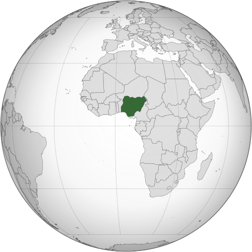
Nigeria is the most populous of the African countries and lies in Western Africa, with a coastline on the Gulf of Guinea.
The land is generally lower around the Niger and Benue river valleys and along the Atlantic coast, while higher terrain occurs across the center and along the eastern border with Cameroon.
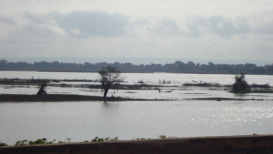
Niger & Benue River Valleys
The Niger and Benue are Nigeria’s two major rivers and form one of the country’s most important physical regions. The Niger enters Nigeria from the northwest while the Benue flows in from the east. They meet at Lokoja where the Benue joins the Niger, which then continues south towards the Atlantic Ocean.
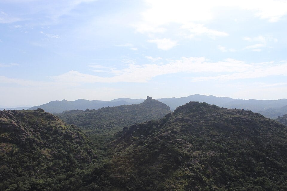
Central Plateaus & Jos Plateau
Central Nigeria contains broad uplands and plateaus rising above the surrounding river valleys. The Jos Plateau is one of the most prominent, standing around 1,280 m (4,200 ft) above sea level on average and surrounded in places by steep escarpments.
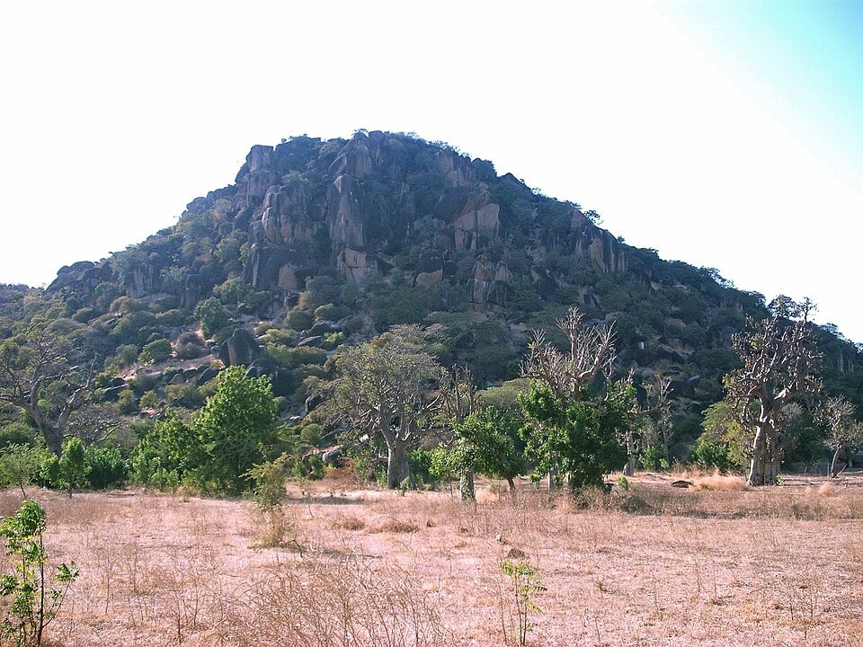
Northern Plains & Savanna
Much of northern Nigeria consists of broad plains and gently rolling savanna. The landscape becomes progressively drier towards the border with Niger and the Lake Chad region, changing from Guinea and Sudan savanna to more open Sahel vegetation in the far northeast.
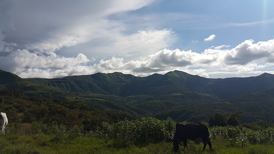
Eastern Highlands & Chappal Waddi
Nigeria’s most mountainous landscapes lie mainly along its eastern border with Cameroon. The region includes the Mandara Mountains and the Mambilla Plateau, where you can find Chappal Waddi, the highest point in Nigeria.
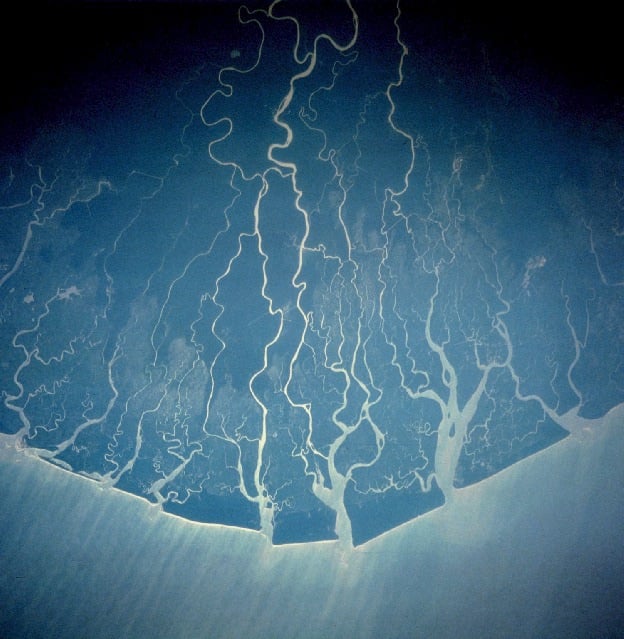
Niger Delta & Coastal Plains
In southern Nigeria, the Niger River divides into numerous channels before reaching the Gulf of Guinea, forming the vast Niger Delta. It contains the largest mangrove forest in Africa.
See article: Flag of Nigeria
Nigeria flag
Nigeria’s national flag was designed by Michael Taiwo Akinkunmi, whose entry won a nationwide competition held ahead of independence.
The simple green-white-green design represents Nigeria’s agricultural wealth, peace and unity. It was designed in 1959 and officially became the national flag when Nigeria gained independence from Britain on 1 October 1960.
Image credits:
Nigeria (centered orthographic projection): Ukabia, via Wikimedia Commons, licensed under CC BY-SA 3.0.
River Niger at Lokoja: Aty Jorbes, via Wikimedia Commons, licensed under CC BY-SA 4.0. Cropped.
Jos Plateau: Samuel Ayenajeh, via Wikimedia Commons, licensed under CC BY-SA 4.0. Cropped.
Wamdeo Hill, Northern Nigeria: Jigamen, via Wikimedia Commons, licensed under CC BY-SA 4.0. Cropped.
The Mambilla Plateau, Nigeria: Ebere Jude Ekemezie, via Wikimedia Commons, licensed under CC BY-SA 4.0. Cropped.

Caitriona Maria is an education writer and owner of The Facts Institute. With seven years of teaching experience and a background in educational content, she specialises in creating clear reference resources about countries, geography and global topics.