10 fun facts about São Tomé and Príncipe
1. São Tomé and Príncipe is the second-smallest country in Africa by both area and population, after Seychelles.
2. The country is made up of two main islands, São Tomé and Príncipe, along with several smaller rocky islets in the Gulf of Guinea.
3. São Tomé and Príncipe’s islands are volcanic in origin and form part of the Cameroon Volcanic Line, a chain of volcanic features extending from the Gulf of Guinea into mainland Africa.
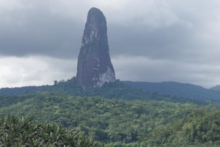
4. Pico Cão Grande, one of the country’s most famous landmarks, is a dramatic 663-meter (2,175-foot) volcanic plug that rises almost vertically from the rainforest on São Tomé.
5. São Tomé and Príncipe is sometimes nicknamed the “African Galápagos” because of its unusually high number of plant and animal species found nowhere else on Earth.
6. São Tomé and Príncipe is the first country in the world to have its entire territory designated as biosphere reserves.
7. São Tomé became one of the world’s leading sugar-producing regions during the 16th century and later became the world’s largest cocoa producer in the early 20th century.
8. Cocoa remains one of São Tomé and Príncipe’s most important crops, and the islands are known for producing high-quality chocolate.
9. One of São Tomé and Príncipe’s best-known dishes is calulu, a traditional stew commonly made with smoked fish, okra, palm oil and local herbs.
10. In 2019, São Tomé and Príncipe was named by Lonely Planet as one of the top 10 countries in the world to visit thanks to its “world-class” beaches, biodiversity and ecotourism credentials.
Read more: Facts about São Tomé and Príncipe
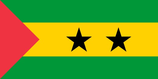
At a glance
Capital city: São Tomé
Population: 240,000 (2025 estimate)
Area: 964 sq km
Major languages: Portuguese, Forro, Cabo Verdian, French, Angolar, English
Major religions: Christianity
Time zone: UTC +0 (Greenwich Mean Time)
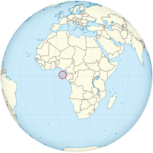
Where is São Tomé and Príncipe?
Continent: Africa
Region: Central Africa
Neighboring countries: None (island country). Nearest countries include Gabon and Equatorial Guinea
Highest point: Pico de São Tomé (2,024 m / 6,640 ft)
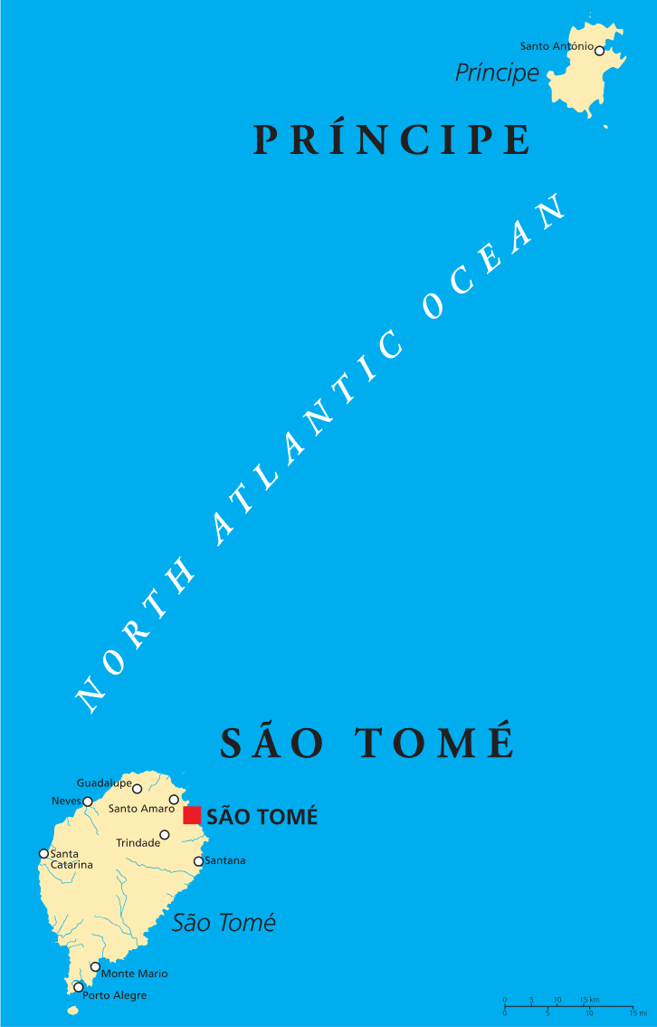
Geography of São Tomé and Príncipe
São Tomé and Príncipe is one of the smallest African countries and lies in Central Africa, in the Gulf of Guinea off the continent’s west coast.
The country consists of two main volcanic islands, São Tomé and Príncipe, along with several smaller islets. Its landscapes include rugged mountains, tropical rainforest and volcanic peaks.
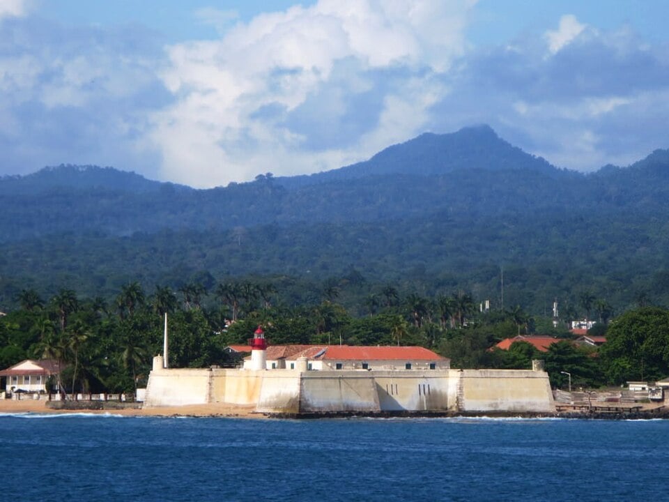
São Tomé Island
São Tomé is the larger and more populated of the two main islands. Its mountainous interior includes Pico de São Tomé, the country’s highest point.
Príncipe Island
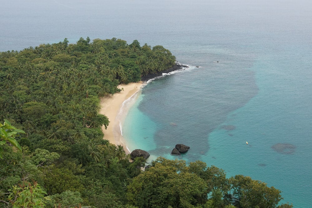
Príncipe lies northeast of São Tomé and is the smaller of the two. Only about 5% of the population live on the island of Príncipe.
Volcanic Mountains & Pico Cão Grande
The islands form part of the Cameroon Volcanic Line and were created by volcanic activity. One of the country’s most distinctive landmarks is Pico Cão Grande, a towering volcanic plug that rises dramatically above the rainforest on São Tomé.
Rainforests & Coastline
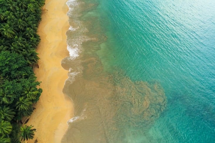
High rainfall supports dense tropical forests across much of the islands, particularly in their mountainous interiors. Surface sea temperatures average 27ºC (80.6 °F).
See article: Flag of São Tomé and Príncipe
São Tomé and Príncipe flag
São Tomé and Príncipe’s national flag was based on the flag of the independence movement MLSTP and was designed by Manuel Pinto da Costa.
It was officially adopted on 12 July 1975, when the country gained independence from Portugal, and has remained unchanged since.
Image credits:
São Tomé and Príncipe (centered orthographic projection): TUBS, via Wikimedia Commons, licensed under CC BY-SA 3.0.
Pico de São Tomé: David Stanley from Nanaimo, Canada, via Wikimedia Commons, licensed under CC BY 2.0. Cropped.

Caitriona Maria is an education writer and owner of The Facts Institute. With seven years of teaching experience and a background in educational content, she specialises in creating clear reference resources about countries, geography and global topics.