10 fun facts about Senegal
1. In 2026, Senegal will make Olympic history when Dakar hosts the Youth Olympic Games, the first Olympic sporting event ever held in Africa.
2. Senegal is named after the Senegal River, which flows through West Africa and forms much of the country’s northern border with Mauritania.
3. Fadiouth is a small, car-free island where streets and buildings sit on layers of accumulated seashells, earning it the nickname “Shell Island.”
4. Lake Retba, also known as Lac Rose or the Pink Lake, is famous for waters that can change from mauve to vivid pink because of its unusual natural salt conditions.
5. The famous Dakar Rally originally began in Paris in December 1978 and sent competitors on a roughly 10,000 to 15,000 kilometer journey to Dakar.
6. Senegalese filmmaker Ousmane Sembène is regarded as one of the pioneers of African cinema. His 1963 short film Borom Sarret, filmed in Dakar, is often described as one of the first films made in Africa by a Black African director.
7. Dakar is home to the enormous African Renaissance Monument, a roughly 50-meter (164-foot) bronze statue that is the tallest statue in Africa.
8. Niokolo-Koba National Park is home to an extraordinary range of wildlife, including lions, leopards, chimpanzees, elephants and Derby elands, the largest antelope species.
9. Every year, millions of pilgrims travel to the holy city of Touba for the Grand Magal, a major Sufi Muslim pilgrimage commemorating the exile of Cheikh Ahmadou Bamba in 1895.
10. The UNESCO-listed Island of Gorée lies just off the coast of Dakar and was said to be the largest slave-trading center on the African coast between the 15th and 19th centuries.
Read more: Facts about Senegal

At a glance
Capital city: Dakar
Population: 18.9 million
Area: 196,722 sq km
Major languages: French, Wolof
Major religion: Islam
Time zone: UTC 0 (Greenwich Mean Time)
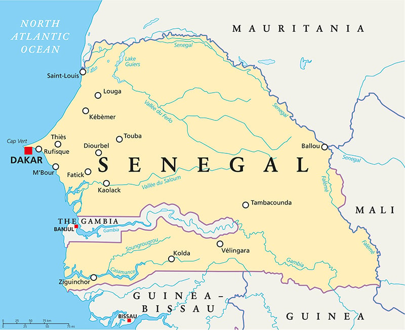
Where is Senegal?
Continent: Africa
Region: Western Africa
Neighboring countries: Mauritania, Mali, Guinea, Guinea-Bissau and The Gambia
Highest point: Baunez ridge (648 m / 2,126 ft)
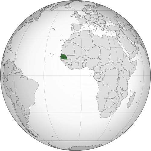
Geography of Senegal
Senegal is one of the westernmost African countries and lies in Western Africa, with a long coastline on the Atlantic Ocean.
Much of the country is low and relatively flat, with sandy plains, savanna and major river valleys.
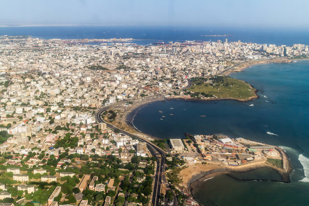
Atlantic Coast & Cap-Vert Peninsula
Senegal has an extensive Atlantic coastline characterised by beach-ridge sand barriers and spits. The Cap-Vert Peninsula is the westernmost point of mainland Africa and is home to Dakar, the country’s capital.
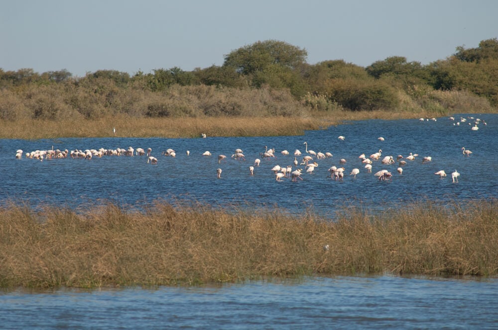
Senegal River Valley
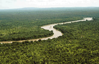
The Senegal River forms much of the country’s northern border with Mauritania. Its floodplain supports farming and settlements in an otherwise dry part of the country.
Interior plains & Sahel
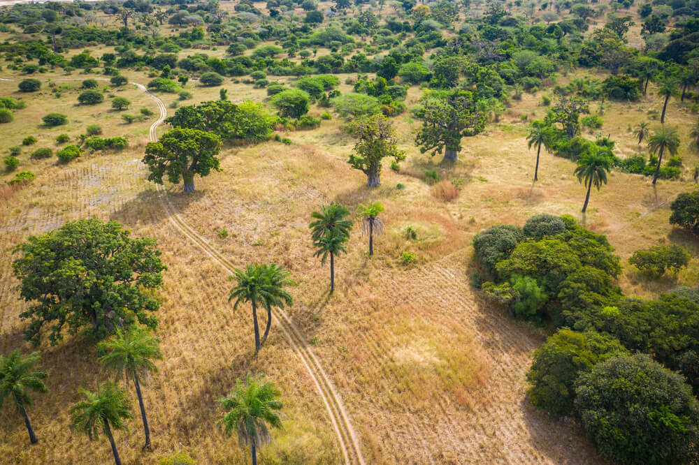
Much of central and northern Senegal consists of broad, flat plains within the Sahel. Savanna woodlands and dry woodlands are typical in the south, with dense forests and mangrove swamps in the southwest.
The Gambia
The country of The Gambia forms a narrow strip of land along the Gambia River and extends deep into Senegal, almost dividing Senegal into northern and southern sections.
See article: Flag of Senegal
Senegal flag
Senegal’s national flag was adopted in 1960 after the collapse of the Mali Federation. It retained the federation’s green, yellow and red vertical stripes but replaced the central black kanaga symbol with a green five-pointed star.
The design has remained Senegal’s national flag ever since.
Image credits:
Senegal (centered orthographic projection): Flappiefh, via Wikimedia Commons, licensed under CC BY-SA 3.0.

Caitriona Maria is an education writer and owner of The Facts Institute. With seven years of teaching experience and a background in educational content, she specialises in creating clear reference resources about countries, geography and global topics.