10 fun facts about The Gambia
1. The Gambia is the smallest country on mainland Africa.
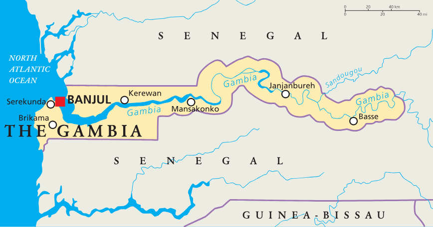
2. The Gambia is almost completely surrounded by Senegal, except for its short Atlantic coastline.
3. The country takes its name from the Gambia River, which runs through the middle of the country.
4. The Gambia has an unusual long, narrow shape. At its narrowest, it is only about 25 km (15 mi) wide.
5. The Gambia is one of the few countries in the world with “The” officially attached to its name.
6. Banjul, the capital, is located on Saint Mary’s Island at the mouth of the Gambia River.
7. For decades, voters in The Gambia have cast their votes using marbles instead of ballot papers.
8. The Gambia is home to Kachikally Crocodile Pool, a sacred crocodile pool linked with fertility traditions. Women hoping to conceive have traditionally visited the pool to pray and bathe.
9. The Gambia shares the UNESCO-listed Stone Circles of Senegambia with Senegal, a site with more than 1,000 ancient monuments.
10. The highest natural point in The Gambia is only about 51 m above sea level, making it the lowest national high point in Africa.
Read more: Facts about The Gambia
At a glance
Capital city: Banjul
Population: 2.8 million
Area: 11,300 sq km
Major languages: English, Mandinka, Wolof, Fula
Major religions: Islam, Christianity
Time zone: UTC (Greenwich Mean Time)
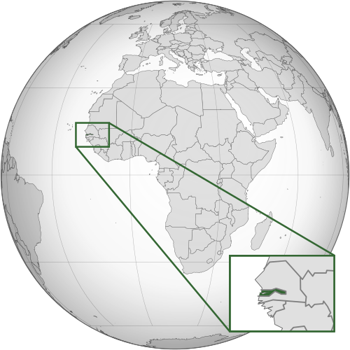
Where is The Gambia?
Continent: Africa
Region: West Africa
Neighboring countries: Senegal
Highest point: Sare Firasu Hill (51 m / 167 ft)
Geography of The Gambia
The Gambia is one of the smallest African countries and lies in Western Africa.
The narrow country follows the Gambia River inland from the Atlantic Ocean and is almost completely surrounded by Senegal.
Gambia River
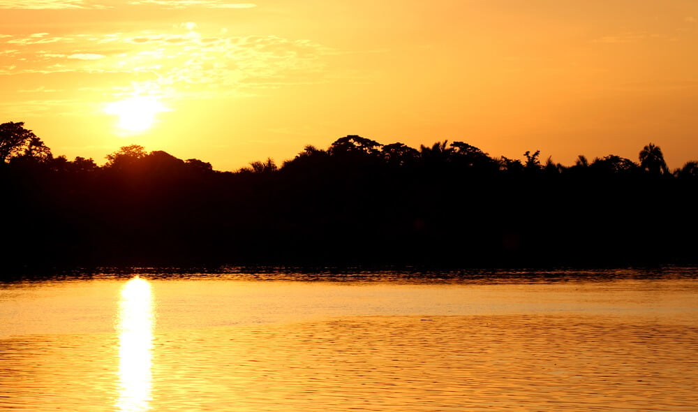
The Gambia River runs through the center of the country from east to west. It is the country’s most important natural feature and gives The Gambia its long, narrow shape.
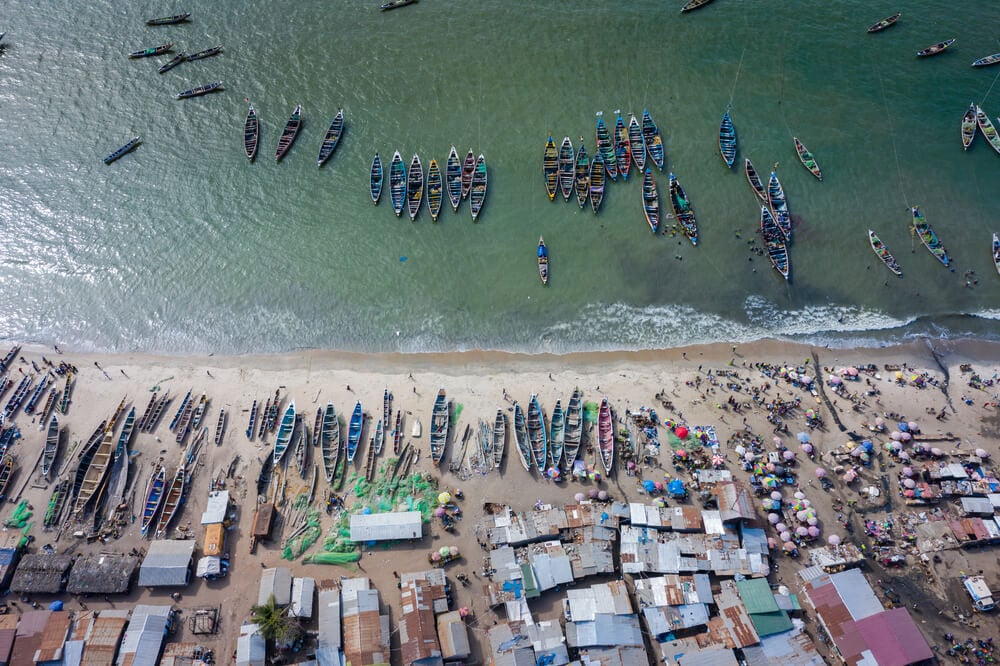
Atlantic Coast
The Gambia has a short coastline on the Atlantic Ocean. The capital, Banjul, sits near the mouth of the Gambia River where it meets the sea.
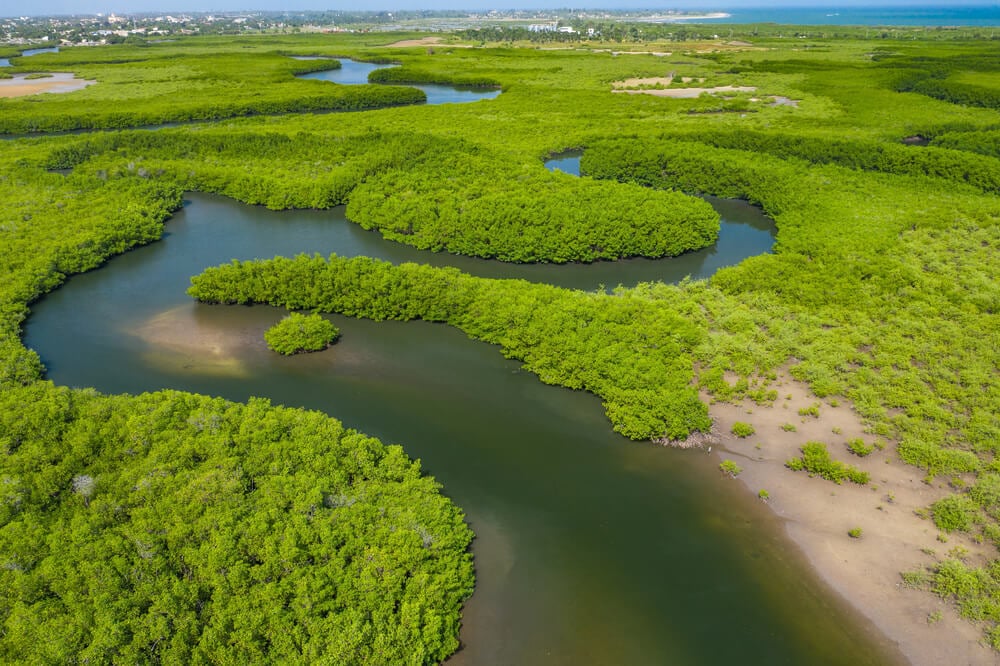
Mangroves and Wetlands
Mangrove forests and wetlands line parts of the Gambia River and its tributaries. These areas provide important habitats for birds, fish and other wildlife.
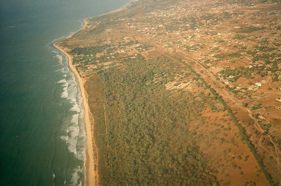
Savanna Lowlands
Much of The Gambia is made up of low, gently rolling savanna. The landscape includes grassland, scattered trees and farmland, with no major mountains.
See article: Flag of The Gambia
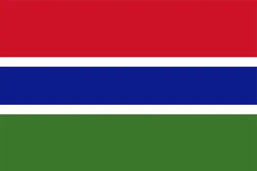
The Gambia flag
The flag of The Gambia was adopted when the country became independent from Britain in 1965. During British rule, The Gambia used a colonial Blue Ensign with a badge, but a new national design was created before independence.
The current flag was first raised at midnight on 18 February 1965. Designed by Louis Thomasi, it deliberately avoided party-political symbolism. Its design remained unchanged during the Senegambia Confederation with Senegal from 1982 to 1989.
Image credits:
The Gambia (centered orthographic projection): Flappiefh, via Wikimedia Commons, licensed under CC BY-SA 3.0.
Aerial view of The Gambia (savannah lowlands): Leonora (Ellie) Enking from East Preston, United Kingdom, via Wikimedia Commons, licensed under CC BY-SA 2.0. Cropped.

Caitriona Maria is an education writer and owner of The Facts Institute. With seven years of teaching experience and a background in educational content, she specialises in creating clear reference resources about countries, geography and global topics.