Europe Map: Countries, Capitals & Rivers
with
No Comments
Explore an interactive Europe map featuring countries, capitals, rivers, mountains and physical terrain.

Explore an interactive Europe map featuring countries, capitals, rivers, mountains and physical terrain.

Explore an interactive Central America map featuring countries, capitals, rivers, mountains and physical terrain.

Explore an interactive Caribbean map featuring countries, capitals, rivers, mountains and physical terrain.

Explore an interactive North America map featuring countries, capitals, rivers, mountains and physical terrain.

Explore an interactive Africa map featuring countries, capitals, rivers, mountains and physical terrain.

Explore an interactive South America map featuring countries, capitals, rivers, mountains and physical terrain.
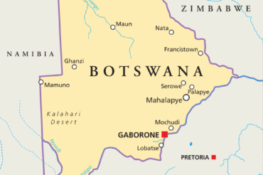
A detailed map of Botswana displaying its regions and major cities. Where is Botswana, and what does it look like geographically?
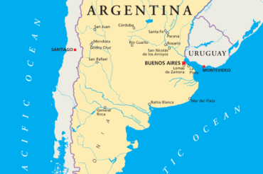
A detailed map of Argentina displaying its regions and major cities. Where is Argentina, and what does it look like geographically?
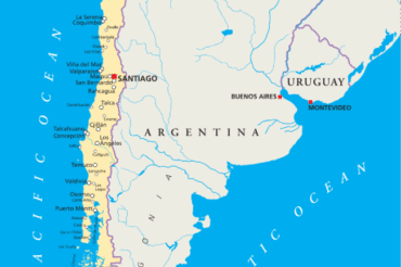
A detailed map of Chile displaying its regions and major cities. Where is Chile, and what does it look like geographically?
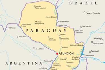
A detailed map of Paraguay displaying its regions and major cities. Where is Paraguay, and what does it look like geographically?
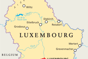
A detailed map of Luxembourg displaying its regions and major communes. Where is Luxembourg, and what does it look like geographically?
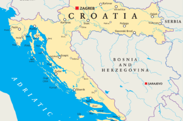
A detailed map of Croatia displaying its regions and major cities. Where is Croatia, and what does it look like geographically?

A detailed map of Czechia displaying its regions and major towns. Where is Czechia, and what does it look like geographically?
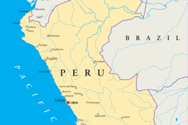
A detailed map of Peru displaying its regions and major towns. Where is Peru, and what does it look like geographically?

A detailed map of Costa Rica displaying its regions and major towns. Where is Costa Rica, and what does it look like geographically?

A detailed map of Dominica displaying its regions and major towns. Where is Dominica, and what does it look like geographically?

A detailed map of Lithuania displaying its regions and major cities. Where is the Lithuania, and what does it look like geographically?
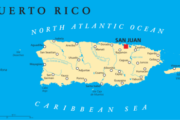
A detailed map of Puerto Rico displaying its regions and major cities. Where is the Puerto Rico, and what does it look like geographically?
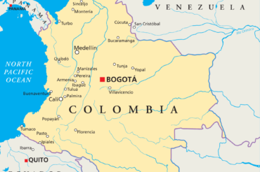
A detailed map of Colombia displaying its regions and major cities. Where is the Colombia, and what does it look like geographically?

A detailed map of the Dominican Republic displaying its regions and major cities. Where is the Dominican Republic, and what does it look like geographically?
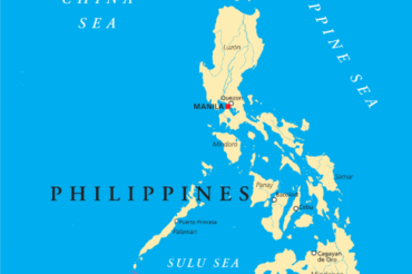
A detailed map of the Philippines displaying its regions and major cities. Where is the Philippines, and what does it look like geographically?

A detailed map of Jamaica displaying its regions and major cities. Where is Jamaica, and what does it look like geographically?

A detailed map of Guatemala displaying its regions and major cities. Where is Guatemala, and what does it look like geographically?

A detailed map of Ecuador displaying its regions and major cities. Where is Ecuador, and what does it look like geographically?
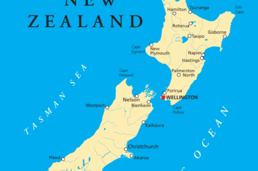
A detailed map of New Zealand displaying its regions and major cities. Where is New Zealand, and what does it look like geographically?
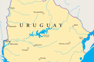
A detailed map of Uruguay displaying its regions and major cities. Where is Uruguay, and what does it look like geographically?
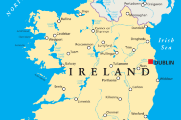
A detailed map of Ireland displaying its regions and major cities. Where is Ireland, and what does it look like geographically?
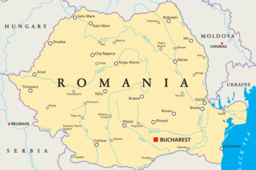
A detailed map of Romania displaying its regions and major cities. Where is Romania, and what does it look like geographically?
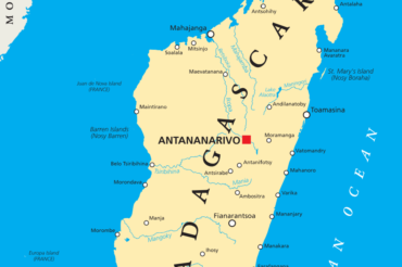
A detailed map of Madagascar displaying its regions and major cities. Where is Madagascar, and what does it look like geographically?
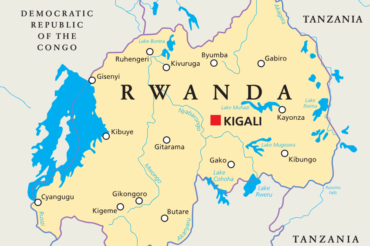
A detailed map of Rwanda displaying its districts and major cities. Each district is distinctly outlined, with cities marked by dots or icons.

A detailed map of Suriname displaying its regions and major cities. Each region is distinctly outlined, with cities marked by dots or icons.

A detailed map of Venezuela displaying its regions and major cities. Each region is distinctly outlined, with cities marked by dots or icons.

A detailed map of Cambodia displaying its regions and major cities. Each region is distinctly outlined, with cities marked by dots or icons.

A detailed map of Spain displaying its regions and major cities. Each region is distinctly outlined, with cities marked by dots or icons.
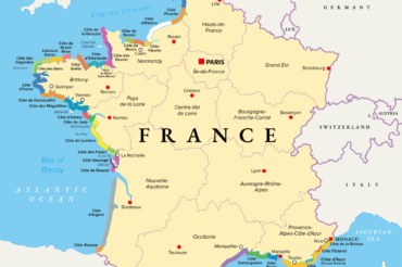
A detailed map of France displaying its regions and major cities. Each region is distinctly outlined, with cities marked by dots or icons.
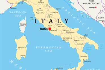
A detailed map of Italy displaying its regions and major cities. Each region is distinctly outlined, with cities marked by dots or icons.