10 fun facts about Madagascar
1. The origin of the name “Madagascar” is uncertain. One theory is that Marco Polo introduced the name to Europe after confusing the island with Mogadishu, a port city in present-day Somalia.
2. The Malagasy people have both Southeast Asian and East African ancestry, reflecting migrations across the Indian Ocean.
3. Madagascar is the world’s fourth-largest island, after Greenland, New Guinea and Borneo.
4. Madagascar was once attached to India. The two separated around 88 million years ago.
5. Most of Madagascar’s native plants and animals are found nowhere else on Earth, including its lemur species.
6. Tsingy de Bemaraha is famous for its dramatic “stone forest” of sharp limestone pinnacles, some of which rise to around 100 meters (328 feet).
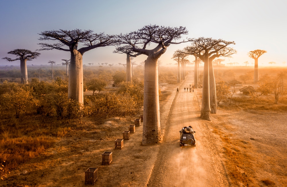
7. Madagascar is famous for its baobab trees. Six of the world’s eight baobab species are found only in Madagascar.
8. Madagascar has traditionally supplied about 80% of the world’s natural vanilla. Vanilla is one of the most expensive and labor-intensive crops, and at its peak its price per kilogram rivalled that of silver.
9. The Madagascar periwinkle provided compounds used to develop important medicines for cancers including childhood leukaemia and Hodgkin lymphoma.
10. Moraingy is a traditional Malagasy bare-knuckle martial art that remains popular in parts of Madagascar.
Read more: Facts about Madagascar
At a glance
Capital city: Antananarivo
Population: 32.7 million
Area: 587,041 sq km
Major languages: Malagasy, French
Major religions: Christianity
Time zone: UTC+3 (East Africa Time)
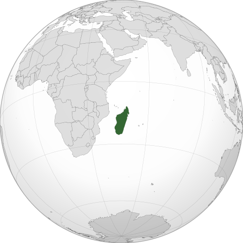
Where is Madagascar?
Continent: Africa
Region: East Africa
Neighboring countries: None (island country)
Highest point: Maromokotro (2,876 m / 9,436 ft)
Geography of Madagascar
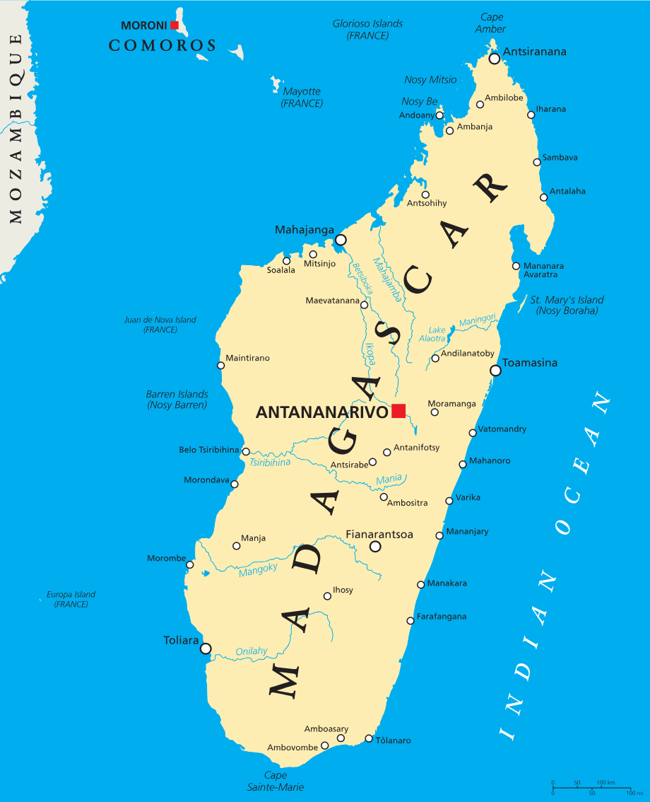
Madagascar is the largest island among the African countries and lies in Eastern Africa in the Indian Ocean.
It is separated from mainland Africa by the Mozambique Channel and has a varied landscape of central highlands, coastal plains, forests and dry regions.
Central Highlands
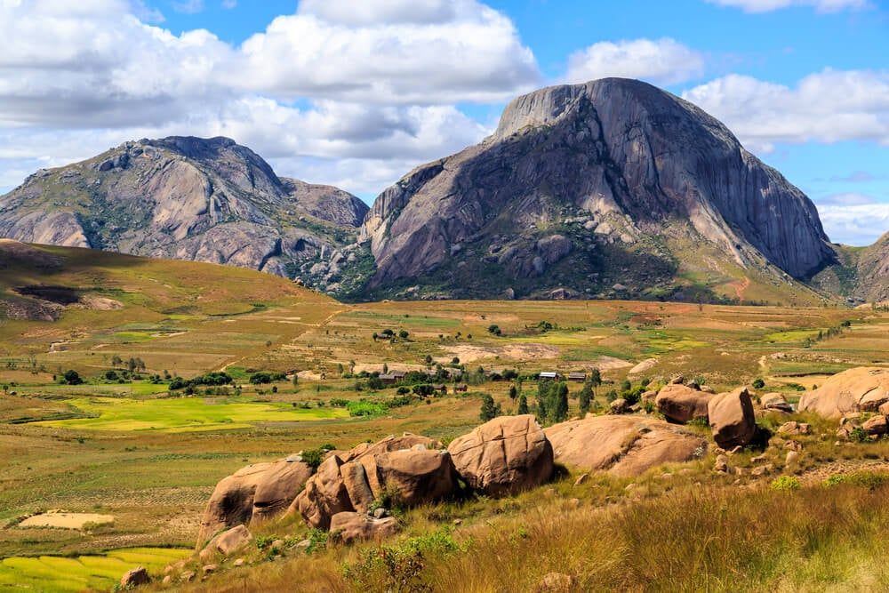
Much of central Madagascar consists of highlands, hills and plateaus. This region includes the capital, Antananarivo, as well as fertile valleys and terraced rice fields. The island’s highest point, Maromokotro, rises in the Tsaratanana Massif in the north.
Eastern Escarpment and Rainforests
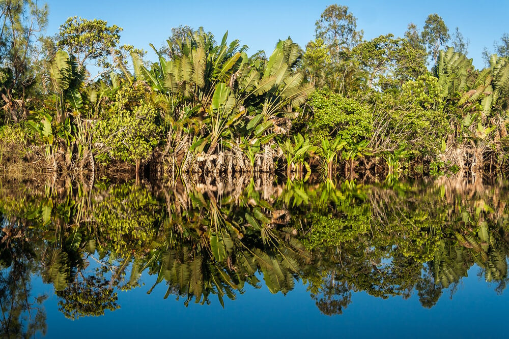
The eastern side of Madagascar rises steeply from a narrow coastal plain to the central highlands. Moist winds from the Indian Ocean bring heavy rainfall to the eastern slopes, supporting dense tropical rainforests.
Western Plains and Baobabs
Western Madagascar is generally lower, flatter and drier than the east. It is also famous for its diverse baobab trees, including those found along the Avenue of the Baobabs near Morondava.

Tsingy Limestone Formations
Parts of northern and western Madagascar contain dramatic limestone landscapes known as tsingy, which are made up of sharp pinnacles and deep crevices.
Southern Spiny Forests
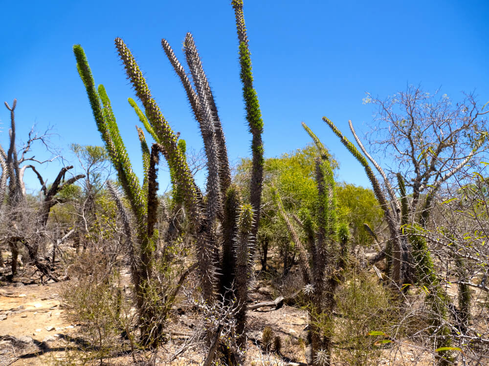
Southern and southwestern Madagascar are the driest parts of the island. This region is known for its unusual spiny forests, which contain thorny plants, succulents and other species adapted to dry conditions.
See article: Flag of Madagascar
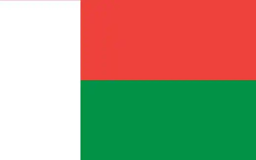
Madagascar flag
The colors of Madagascar’s flag have roots in the island’s pre-colonial history. Red and white were used by several Malagasy kingdoms, and later influenced the design of the national flag.
Madagascar adopted its red, white and green flag in October 1958, while it was an autonomous republic within the French Community. The design remained in use when Madagascar gained full independence from France in 1960.
Image credits:
Madagascar (centered orthographic projection): M.Bitton, via Wikimedia Commons, licensed under CC BY-SA 4.0.

Caitriona Maria is an education writer and owner of The Facts Institute. With seven years of teaching experience and a background in educational content, she specialises in creating clear reference resources about countries, geography and global topics.