10 fun facts about Algeria
1. Algeria is the largest country in Africa and the 10th largest country in the world by total surface area.
2. The Sahara Desert covers more than four-fifths of Algeria, making it the defining feature of much of the country.
3. Algeria’s national animal is the fennec fox, the world’s smallest fox. Its oversized ears can measure up to 15 cm (6 inches) long.
4. Snow has fallen in the Algerian Sahara. In 2018, some dunes were covered in snow up to 40 cm (almost 16 inches) deep.
5. Algeria has seven UNESCO World Heritage Sites, including Timgad, a remarkably preserved Roman city dating to around AD 100.
6. The Great Mosque of Algiers has the world’s tallest minaret. This is the tower traditionally used for the call to prayer.
7. Algiers is nicknamed “Alger la Blanche,” meaning “Algiers the White,” because of its many whitewashed buildings.
8. The US Army experimented with camels in the 1850s after studying their military use in places such as Algeria. Dozens of camels were brought to the United States from North Africa and the Middle East, but the experiment was eventually abandoned.
9. Algeria has won the Africa Cup of Nations twice, first in 1990 and again in 2019.
10. Algeria has a far more varied climate than many people expect. Some areas receive almost no rain, while others get more annual rainfall than London.
Read more: Facts about Algeria
At a glance
Capital city: Algiers
Population: 47.4 million
Area: 2,381,740 sq km
Major languages: Arabic, Tamazight, French
Major religion: Islam
Time zone: UTC+1 (Central European Time)
Geography of Algeria
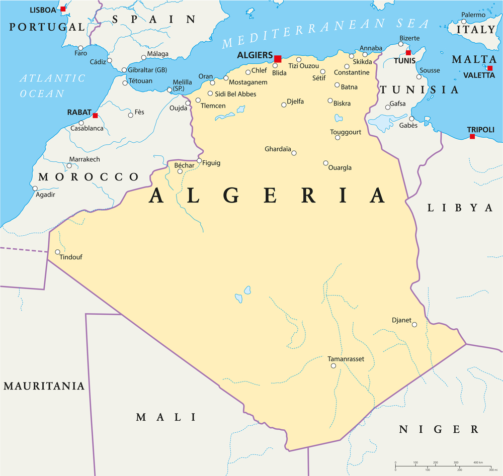
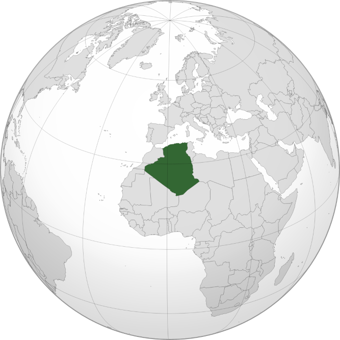
Algeria is the largest of the African countries by area and lies in North Africa, along the Mediterranean coast.
Its geography is dominated by the Sahara Desert, with mountains and a narrow coastal region in the north.
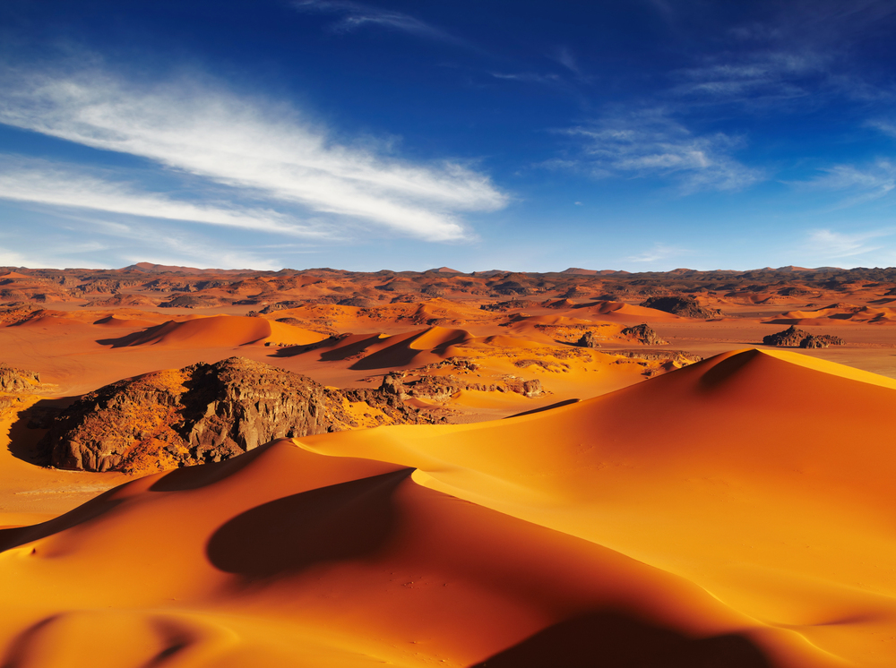
Sahara Desert
Covers much of Algeria, with dunes, rocky plateaus and very dry landscapes.
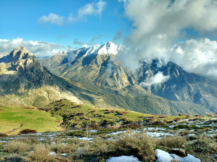
Tell Atlas Mountains
Runs across northern Algeria near the Mediterranean coast.
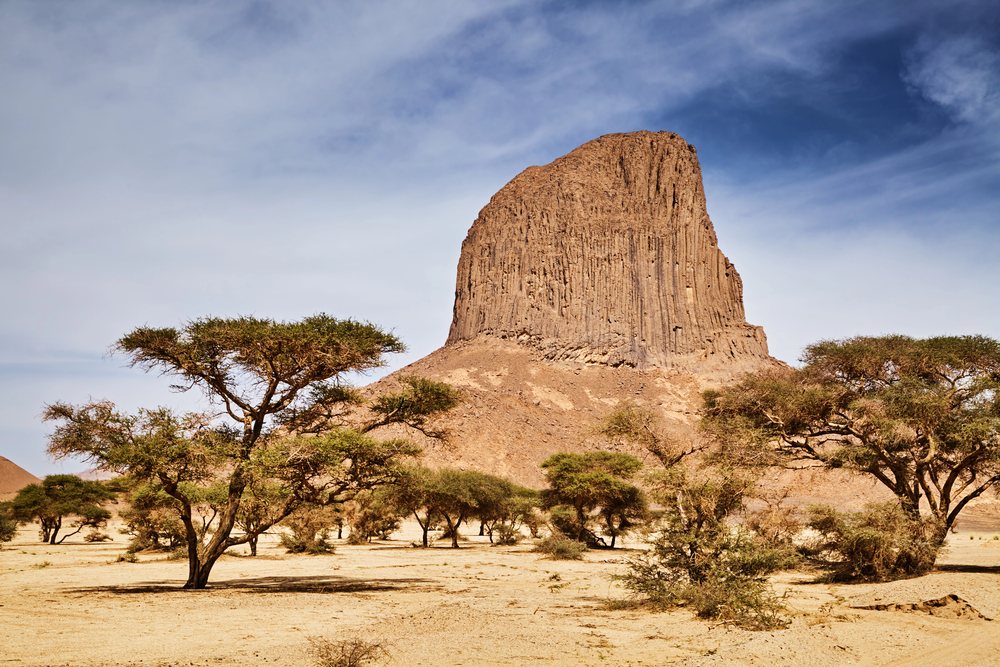
Ahaggar (Hoggar) Mountains
A mountain region in the south, home to Mount Tahat, the highest point.
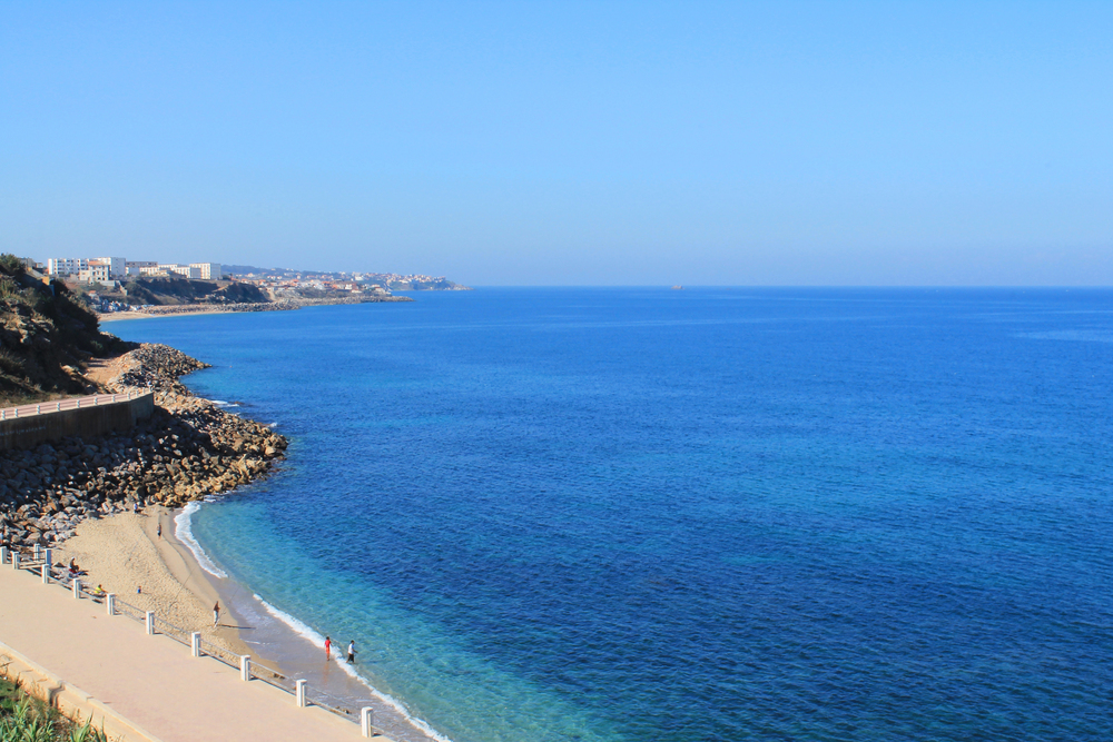
Mediterranean Coast
Northern Algeria has a Mediterranean coastline with major cities such as Algiers and Oran.
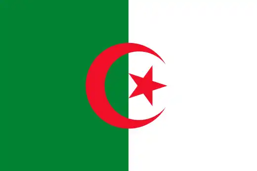
See article: Flag of Algeria
Algeria flag
The Algerian flag has roots in the country’s independence movement. During French rule, Algeria used the French flag, but nationalist groups later adopted green-and-white flags with a red crescent and star.
The design was adopted by the National Liberation Front (FLN) during the Algerian War of Independence and officially raised after independence in 1962.
Image credits:
Algeria (centered orthographic projection), M.Bitton, via Wikimedia Commons, licensed under CC BY-SA 4.0.
Djurdjura, Algérie, Ahaggar Mountains, by Melb13, via Wikimedia Commons, licensed under CC BY-SA 4.0. Cropped and resized.

Caitriona Maria is an education writer and owner of The Facts Institute. With seven years of teaching experience and a background in educational content, she specialises in creating clear reference resources about countries, geography and global topics.