10 fun facts about Morocco
1. Morocco is home to the world’s oldest continually operating university. The University of al-Qarawiyyin in Fez was founded in 859 AD.
2. You can see Morocco from Spain. At its narrowest point, the Strait of Gibraltar is only about 13 km (8 mi) wide.
3. Goats really do climb trees in Morocco. Around Essaouira, goats climb argan trees to eat their fruit.
4. Morocco has its own “Hollywood.” Ouarzazate and its surrounding area have hosted productions including Gladiator, Lawrence of Arabia and Game of Thrones.
5. Fez has the world’s largest car-free urban area. Its maze-like medieval medina is largely inaccessible to cars.
6. Morocco has a town famous for being blue. Chefchaouen is covered in blue-painted streets and buildings, earning it the nickname the “Blue Pearl.”
7. You can go skiing in Morocco. Oukaïmeden in the Atlas Mountains is Africa’s highest ski resort.
8. Morocco has North Africa’s highest mountain. Mount Toubkal rises 4,167 m (13,671 ft) above sea level.
9. Morocco is one of only three kingdoms in Africa. The others are Lesotho and Eswatini.
10. Morocco is famous for canned sardines. It is the world’s leading producer and exporter of the small oily fish.
Read more: Facts about Morocco

At a glance
Capital city: Rabat
Population: 38.4 million
Area: 446,550 sq km
Major languages: Arabic, Berber languages, French
Major religions: Islam
Time zone: UTC +0
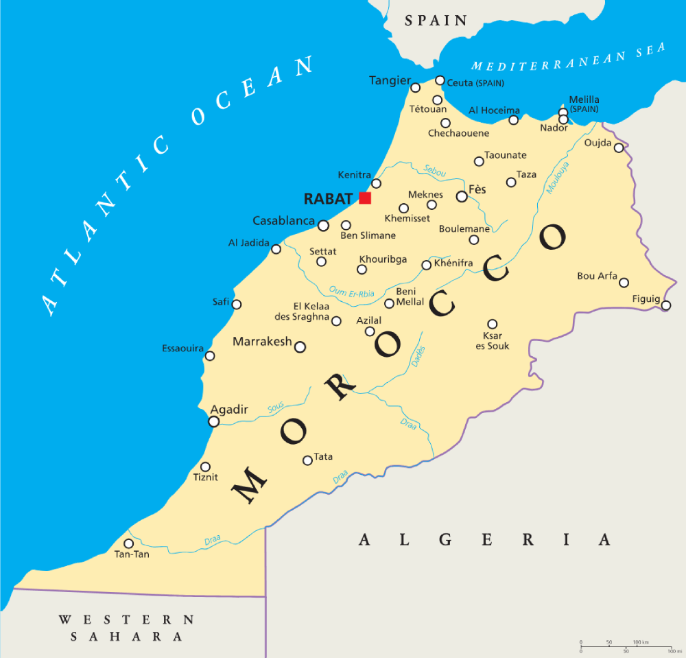
Where is Morocco?
Continent: Africa
Region: Northern Africa
Neighboring countries: Algeria and Western Sahara; also shares borders with the Spanish territories of Ceuta and Melilla
Highest point: Jebel Toubkal (4,167 m / 13,671 ft)
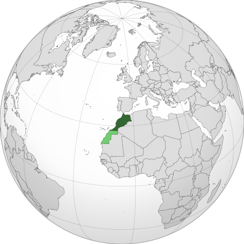
Geography of Morocco
Morocco is one of the African countries with coastlines on both the Atlantic Ocean and Mediterranean Sea, and lies in Northern Africa.
Its landscape ranges from fertile coastal plains and major mountain ranges to arid desert regions in the southeast.
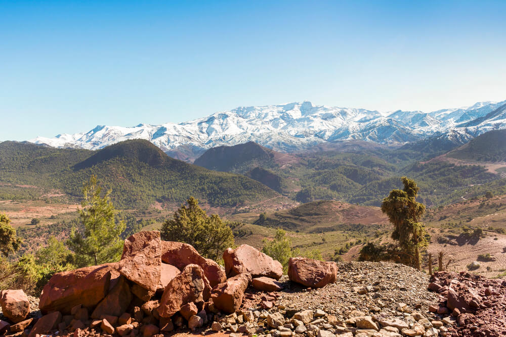
Atlas Mountains
The Atlas Mountains extend across much of central and southern Morocco. They are divided into several ranges, including the Middle Atlas, High Atlas and Anti-Atlas. The High Atlas contains Jebel Toubkal, Morocco’s highest mountain.
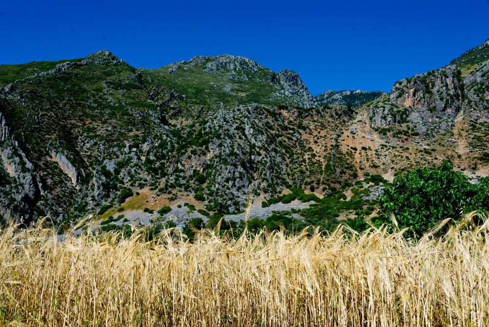
Rif Mountains
The Rif Mountains stretch across northern Morocco near the Mediterranean coast. This rugged region is among the wettest parts of Morocco.
Atlantic Plains and Coastal Regions
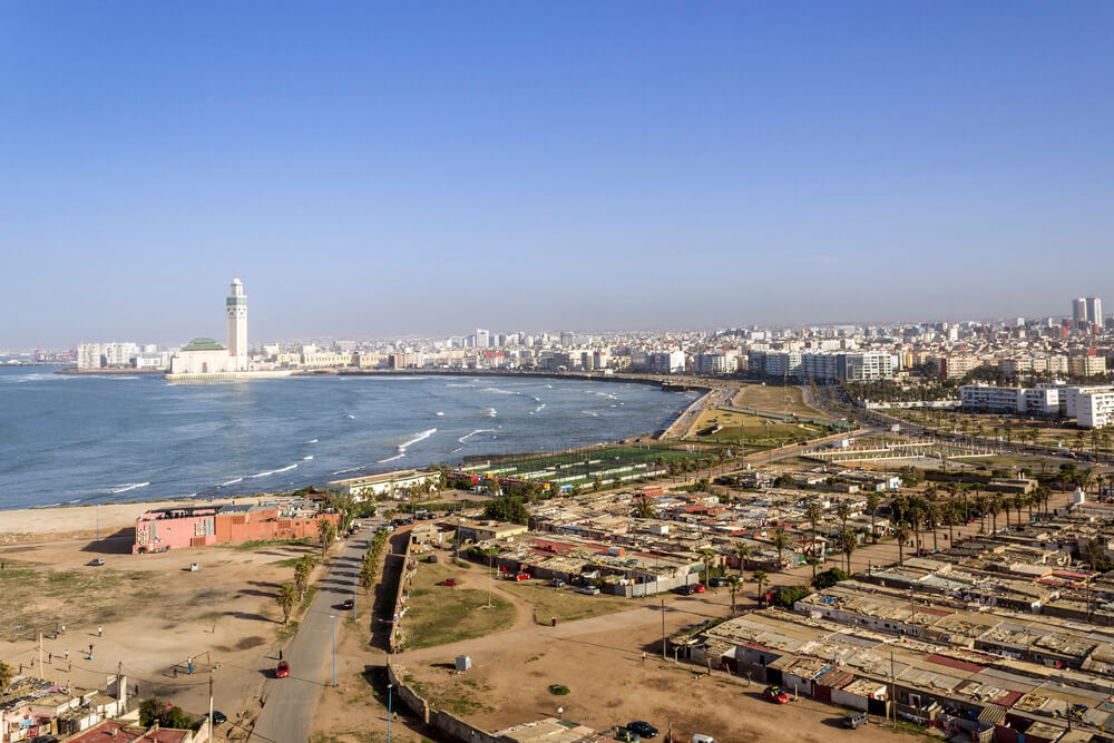
Broad plains extend along much of Morocco’s Atlantic coast and contain some of the country’s most productive agricultural land. Major cities including Casablanca and Rabat are located along this coastal region.

Sahara Desert and Southeastern Morocco
To the south of the Atlas Mountains, Morocco becomes increasingly dry as the landscape transitions towards the Sahara Desert. Erg Chebbi, famous for its towering sand dunes, lies near the border with Algeria.
See article: Flag of Morocco
Morocco flag
Morocco used a plain red flag for centuries, a color closely associated with the ruling Alawi dynasty. In 1915, Sultan Yusef added a green five-pointed star to distinguish it from other red flags.
The design continued to be used during the French and Spanish protectorate periods and remained Morocco’s national flag after the country regained independence in 1956.
Image credits:
Morocco (centered orthographic projection): Flad and others (see history of original file)Seryo93 (derivative), via Wikimedia Commons, licensed under CC BY-SA 3.0.

Caitriona Maria is an education writer and owner of The Facts Institute. With seven years of teaching experience and a background in educational content, she specialises in creating clear reference resources about countries, geography and global topics.