10 fun facts about Comoros
1. Comoros is one of the world’s largest producers of ylang-ylang, an essential oil used in perfumes including the legendary Chanel No. 5.
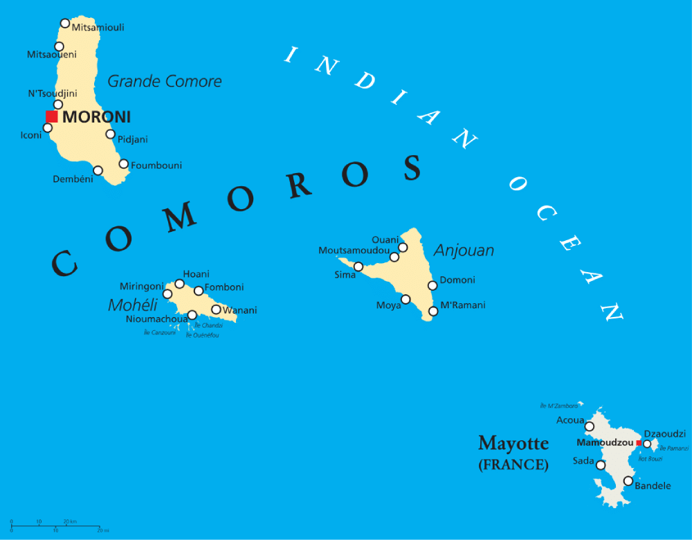
2. The wider Comoros archipelago has four main islands: Grande Comore, Mohéli, Anjouan and Mayotte.
3. Mayotte voted to remain with France when the rest of Comoros became independent. It is now a French overseas department, although Comoros still claims it.
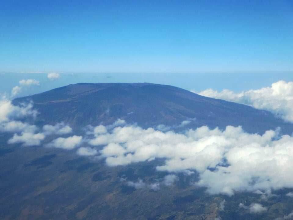
4. Mount Karthala on Grande Comore is one of the world’s largest active volcanoes and the highest point in Comoros.
5. The capital, Moroni, comes from a local word meaning “at the river.”
6. A traditional dish of Comoros is Langouste à la Vanille, grilled lobster served in a creamy vanilla sauce.
7. The endangered Livingstone’s fruit bat is found only on the Comorian islands of Anjouan and Mohéli. It has a wingspan of up to 1.5 m (4.9 ft) and lives in small colonies high in the mountains.
8. Since independence in 1975, Comoros has experienced so many coups and secession attempts that it has been nicknamed the “coup-coup islands.”
9. Comoros is one of the least visited countries in the world, recording only around 20,000–50,000 tourists annually.
10. Comoros has two distinct forms of marriage, known as the Petit Mariage and the Grand Mariage. A Grand Mariage can feature a host of elaborate rituals, last for two weeks and can cost tens or even hundreds of thousands of dollars.
Read more: Facts about Comoros

At a glance
Capital city: Moroni
Population: 883,000 (2025 estimate)
Area: 1,861 sq km
Major languages: Comorian (Shikomori), Arabic, French
Major religions: Islam
Time zone: UTC+3 (East Africa Time)
Where is Comoros?
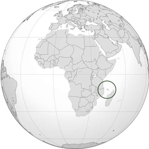
Continent: Africa
Region: East Africa / Indian Ocean
Nearby countries: Mozambique and Madagascar
Highest point: Mount Karthala (2,361 m / 7,746 ft)
Geography of Comoros
Comoros is one of the island African countries and lies in Eastern Africa, in the Indian Ocean between Madagascar and Mozambique.
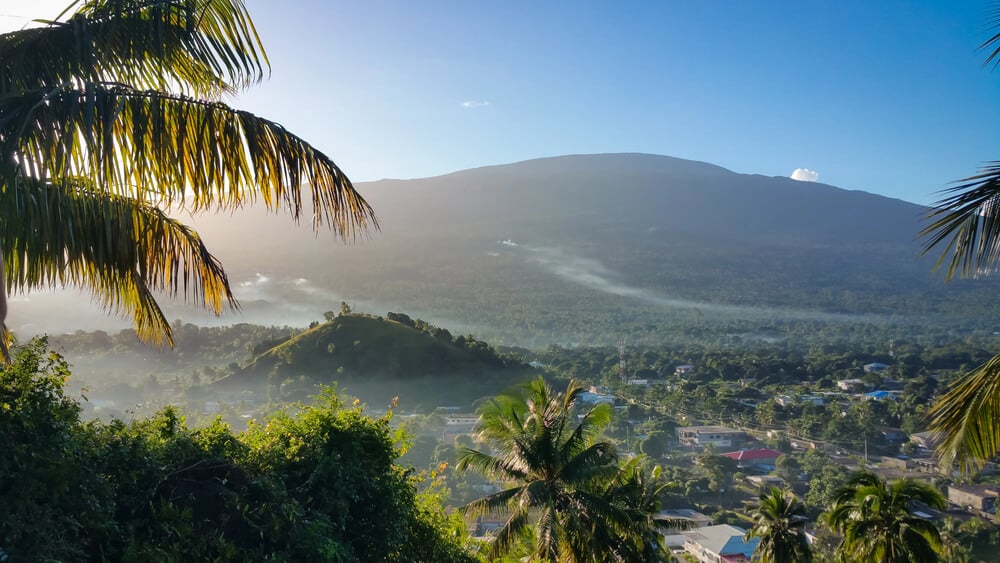
The volcanic archipelago is a tropical ecosystem made up of mountainous islands with steep slopes and narrow coastal plains.
Volcanic Islands
Comoros is part of a volcanic island chain in the Mozambique Channel. Its islands have steep hills, fertile volcanic soils and rugged coastal landscapes.
Mount Karthala
Mount Karthala, on Grande Comore, is an active shield volcano and the highest point in Comoros.
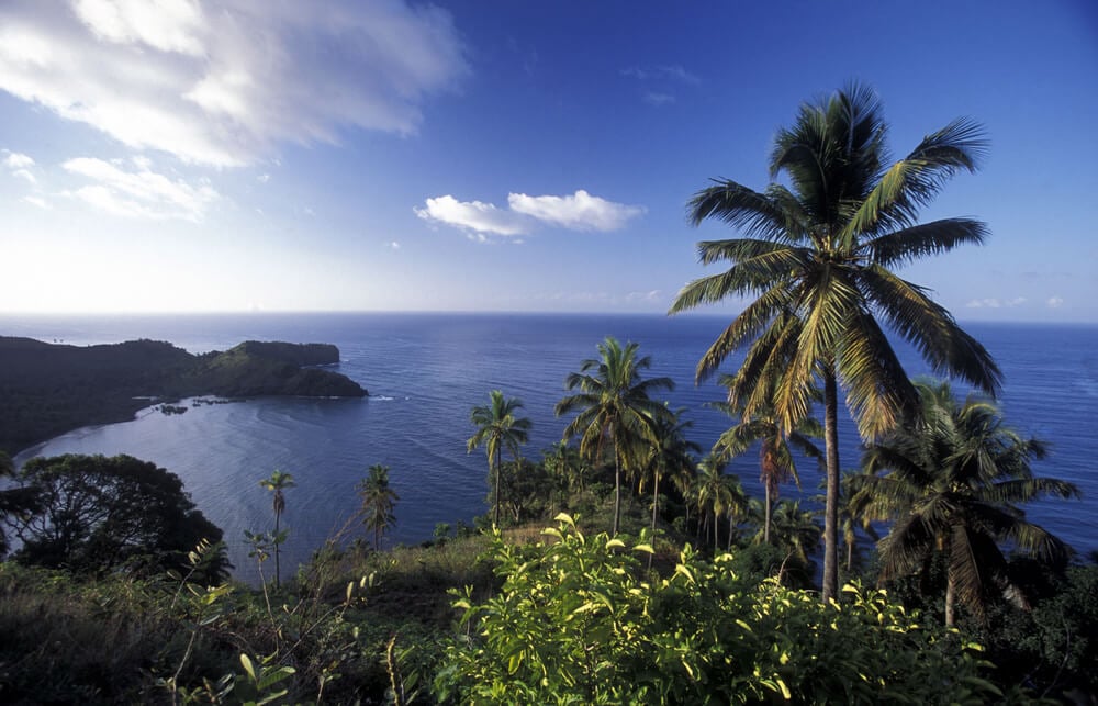
Coral Reefs and Coastlines
Comoros has tropical coastlines surrounded by coral reefs, lagoons and clear Indian Ocean waters. Its coastal areas support fishing, marine life and small beach communities.
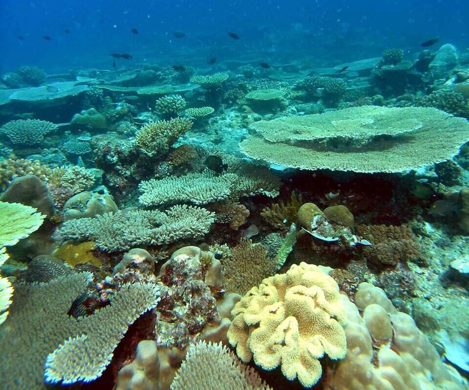
Mohéli Marine Park
Mohéli, the smallest island, is known for its protected marine environment. It is an important nesting site for sea turtles, including the endangered hawksbill turtle.
See article: Flag of Comoros
Comoros flag
The flag of the Comoros reflects the country’s island history and Islamic heritage. During the colonial period, the islands used the French tricolor, but after independence in 1975, Comoros adopted several different flags as governments and constitutions changed.
The current flag was introduced after constitutional reforms in 2001, when the country became the Union of the Comoros.
Image credits:
Comoros (centered orthographic projection): Spesh531, via Wikimedia Commons, licensed under CC BY-SA 3.0.
Mount Karthala: David Stanley from Nanaimo, Canada, via Wikimedia Commons, licensed under CC BY 2.0. Cropped.
Coral reefs, Mohéli: alKomor.com, via Wikimedia Commons, licensed under CC BY-SA 2.0. Cropped.

Caitriona Maria is an education writer and owner of The Facts Institute. With seven years of teaching experience and a background in educational content, she specialises in creating clear reference resources about countries, geography and global topics.