10 fun facts about Uruguay
1. Uruguay is the second-smallest country in South America by area. Only Suriname is smaller.
2. Uruguay hosted the first FIFA World Cup in 1930 and then won the tournament, defeating Argentina in the final in Montevideo.
3. Uruguay’s national anthem, Orientales, la Patria o La Tumba, is often described as one of the world’s longest national anthems, taking around six minutes to perform in full.
4. Uruguayans are among the world’s biggest consumers of yerba mate. The caffeinated drink is commonly carried around in a gourd alongside a thermos of hot water.
5. Uruguay became the first country in the world to legalize and regulate the production, sale and consumption of recreational cannabis nationwide.
6. Uruguay generates 98% of its electricity from renewable sources, particularly wind and hydropower, following a major transformation of its energy system.
7. Uruguay has a strong cattle-farming tradition, and its cattle population has historically far exceeded its human population. Beef remains one of the country’s most important exports.
8. Uruguay and Argentina share a strong claim to the origins of tango. The dance and musical style developed around the Río de la Plata region, particularly in Montevideo and Buenos Aires.
9. Uruguay has three UNESCO World Heritage Sites: the Historic Quarter of Colonia del Sacramento, the Fray Bentos Industrial Landscape and the Church of Atlántida designed by engineer Eladio Dieste.
10. Uruguay has a strongly secular tradition. In the early 20th century, official holiday names were changed so that Christmas became known as Family Day and Holy Week became Tourism Week.
Read more: Facts about Uruguay
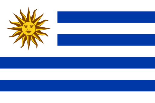
At a glance
Capital city: Montevideo
Population: 3,425,330
Area: 176,215 sq km
Major languages: Spanish (official)
Major religions: Christianity
Time zone: UTC-3

Where is Uruguay?
Continent: South America
Neighboring countries: Argentina and Brazil
Highest point: Cerro Catedral (514 m / 1,685 ft)
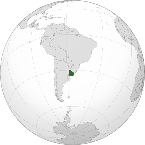
Geography of Uruguay
Uruguay lies in southeastern South America, between Argentina and Brazil, with coastlines on the Río de la Plata and Atlantic Ocean.
Much of the country consists of gently rolling plains and grasslands, crossed by low uplands and river valleys, with wetlands and coastal lagoons in the east.
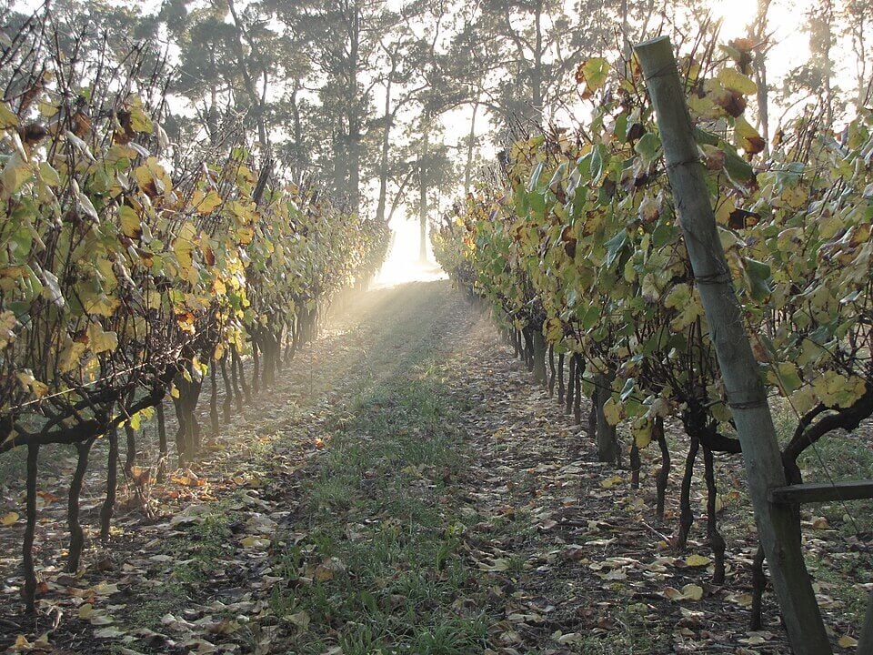
Rolling Plains & Grasslands
Much of Uruguay is covered by gently rolling plains and open grasslands forming part of the wider Pampas region of South America. The fertile landscape is widely used for cattle and sheep farming, as well as crop production.
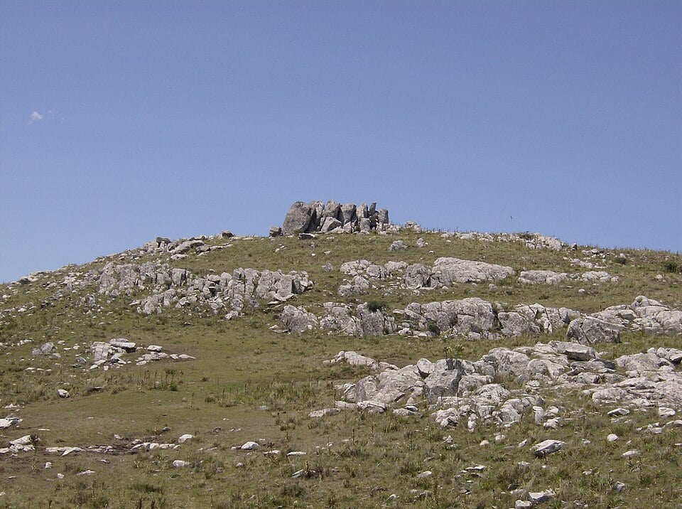
Central & Eastern Uplands
Low ridges and uplands known as cuchillas cross parts of the interior, including the Cuchilla Grande and Cuchilla de Haedo. Uruguay has no major mountain ranges.
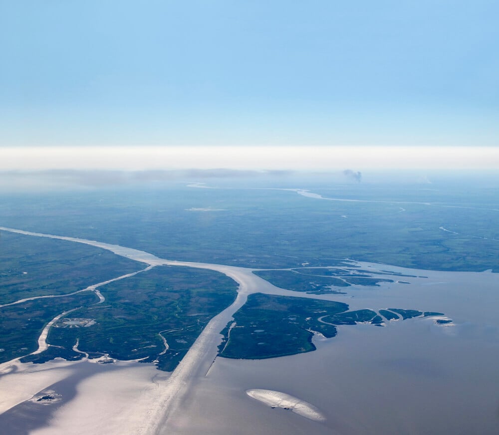
Río de la Plata & Atlantic Coast
Southern Uruguay borders the broad Río de la Plata estuary, where the capital, Montevideo, is located. Farther east, the coastline opens onto the Atlantic Ocean and includes sandy beaches, dunes, rocky headlands and coastal lagoons.
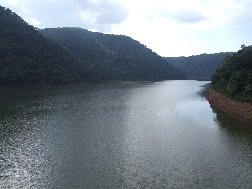
Uruguay River & Río Negro
The Uruguay River forms much of the country’s western border with Argentina. The Río Negro flows westward across central Uruguay before joining the Uruguay River and is one of the country’s most important internal waterways.
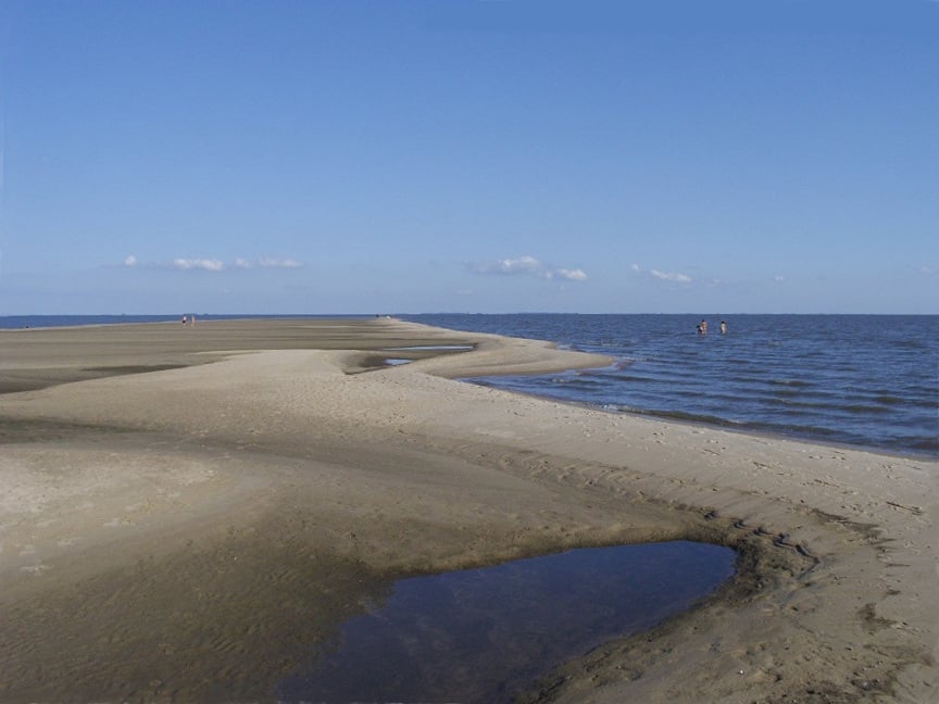
Eastern Wetlands & Lagoons
Eastern Uruguay contains extensive wetlands, marshes and shallow lagoons, particularly near the Atlantic coast and the border with Brazil. The Laguna Merín basin, shared with Brazil, covers about one-sixth of Uruguay and includes almost 50 distinct ecosystems rich in terrestrial and aquatic flora and fauna.
See article: Flag of Uruguay
Uruguay flag
Uruguay’s national flag was first established in 1828, originally with 19 alternating white and light-blue stripes.
In 1830, it was changed to the current nine stripes, representing Uruguay’s nine original departments. The design was influenced by earlier independence-era flags, including the Artigas flag and the flag of the Treinta y Tres Orientales.
During the 19th century, the shade of blue and the design of the Sun of May varied. In 1952, a decree standardized the modern flag, including the Sun of May with a face and sixteen rays.
Image credits:
Uruguay (centered orthographic projection): Addicted04, via Wikimedia Commons, licensed under CC BY-SA 3.0.
Viña en Otoño: Viñavarelazarranz, via Wikimedia Commons, licensed under CC BY-SA 3.0. Cropped.
Cerro Catedral in Cuchilla Grande: Scheridon, via Wikimedia Commons, licensed under CC BY-SA 3.0. Cropped.
Uruguay River: Deyvid Setti e Eloy Olindo Setti, via Wikimedia Commons, licensed under CC BY-SA 3.0. Cropped.
Lago Merín’s beach on the shore of Lagoon Merín: Marielagl, via Wikimedia Commons, licensed under CC BY-SA 3.0. Cropped.

Caitriona Maria is an education writer and owner of The Facts Institute. With seven years of teaching experience and a background in educational content, she specialises in creating clear reference resources about countries, geography and global topics.