10 fun facts about Peru
1. Peru is the third-largest country in South America, after Brazil and Argentina.
2. Peru was the heartland of the Inca Empire, the largest empire in pre-Columbian America. Its most famous surviving site, Machu Picchu, sits high in the Andes and is one of the New Seven Wonders of the World.
3. Peru is one of the world’s great centers of potato diversity. More than 3,000 varieties are grown in the country, with much of this diversity preserved by Indigenous farming communities in the Andes.
4. Peru is home to the majority of the world’s alpacas, with millions of the animals living mainly in the high Andes. Alpaca fiber has been used to make clothing and textiles in the region for thousands of years.
5. Peru is one of the most biodiverse countries on Earth. It ranks third in the world for bird diversity, fifth for mammals and first for freshwater fish.
6. The Sacred City of Caral-Supe in Peru dates back around 5,000 years and is the earliest center of civilization in the Americas. Its monumental pyramids and plazas were being built around the same period as some of ancient Egypt’s pyramids.
7. Lake Titicaca, shared by Peru and Bolivia, lies about 3,810 m (12,500 ft) above sea level. It is the largest freshwater lake in South America by volume and one of the world’s highest large navigable lakes.
8. The mysterious Nazca Lines were created in the desert of southern Peru more than 2,000 years ago. The enormous geoglyphs depict animals, plants and geometric shapes and are best appreciated from above.
9. Cerro Blanco, near Nazca, is one of the world’s tallest sand dunes. It rises approximately 1,176 m (3,860 ft), about the size of three and a half Eiffel Towers!
10. Peru has the second-largest area of Amazon rainforest after Brazil.
Read more: Facts about Peru
At a glance
Capital city: Lima
Population: 32,600,249
Area: 1,285,216 sq km
Major languages: Spanish, Quechua, Aymara
Major religions: Christianity
Time zone: UTC-5 (Peru Time)

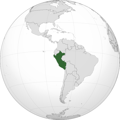
Geography of Peru
Peru lies in western South America, with a long coastline on the Pacific Ocean.
Its landscape is highly varied, ranging from dry coastal deserts and fertile river valleys to the high Andes Mountains, elevated plateaus and vast areas of Amazon rainforest.
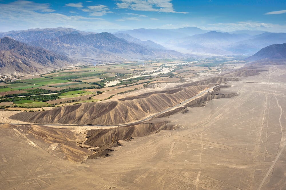
Pacific Coast & Coastal Desert
Much of the coast is desert, although in northern Peru, the Sechura Desert lies alongside areas of seasonally dry forest. Many of Peru’s largest cities, including the capital, Lima, are located along the coast, while rivers descending from the Andes create fertile valleys that support agriculture.
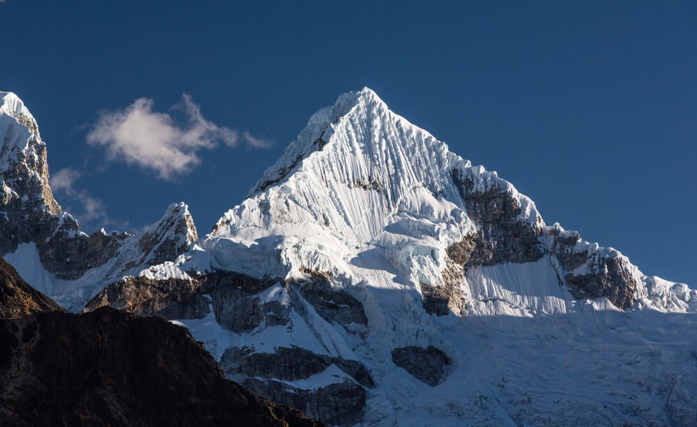
Andes Mountains & Huascarán
The Andes run from north to south through central Peru and form the country’s dominant mountain system. The range includes deep valleys, high plateaus and snow-capped peaks. Huascarán, in the Cordillera Blanca, is Peru’s highest point.
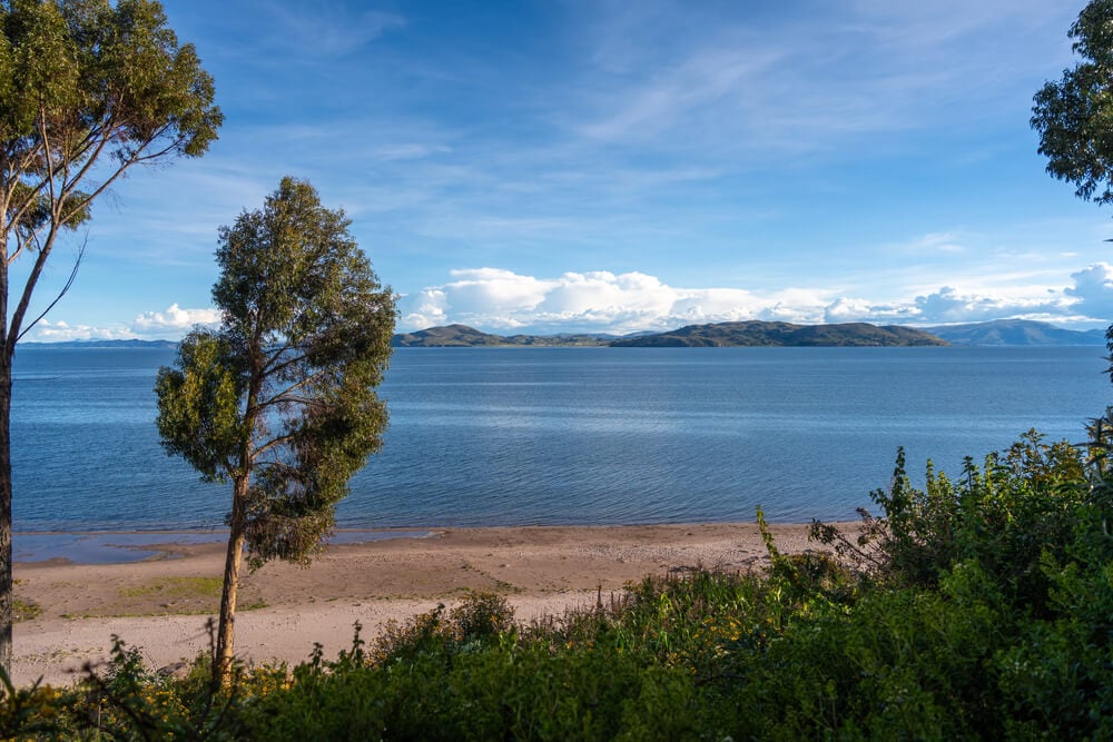
Altiplano & Lake Titicaca
Southern Peru contains part of the Altiplano, a vast high plateau where the Andes broaden considerably. Lake Titicaca lies within this region on the Peru–Bolivia border and is one of the world’s highest navigable lakes.
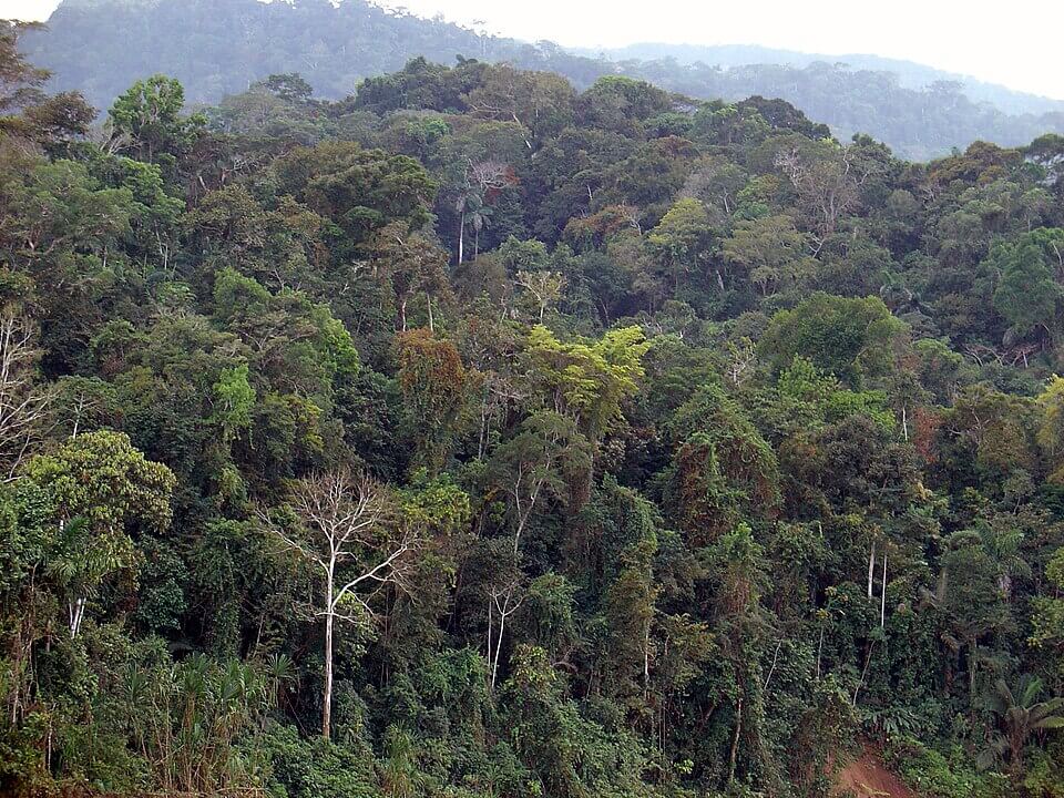
Amazon Rainforest
East of the Andes, the land descends into the Amazon Basin. The region has a hot, humid climate and is dominated by extensive tropical rainforest and a vast network of rivers.
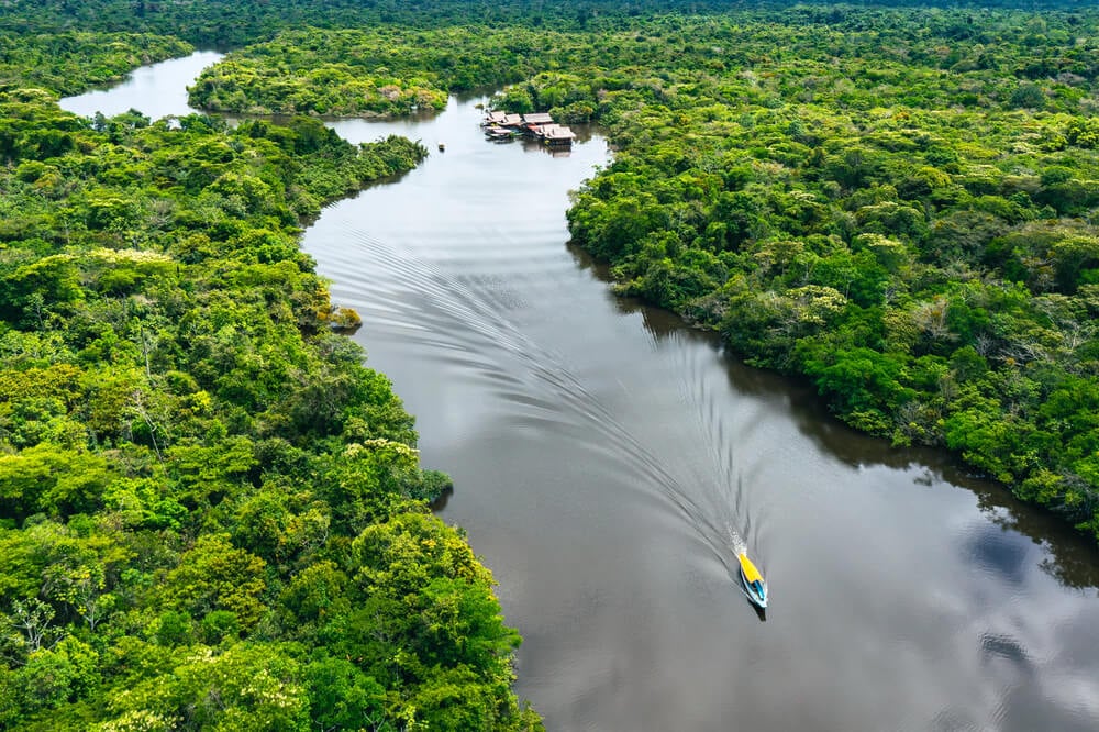
Amazon River & Major Waterways
Many of Peru’s largest rivers rise in the Andes and flow east towards the Amazon Basin. The Marañón and Ucayali rivers meet in northeastern Peru, and their confluence marks the beginning of the Amazon River.
See article: Flag of Peru
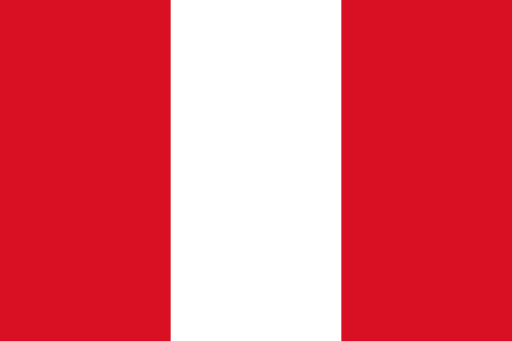
Peru flag
Peru’s red-and-white flag dates back to the country’s struggle for independence from Spain. The first national flag was decreed by José de San Martín in 1820, before being simplified through several redesigns in 1822.
In 1825, Peru’s Constituent Congress established the red-white-red vertical design that forms the basis of the modern flag. Official versions incorporated the national coat of arms.
Since 1950, Peru has used a plain red-white-red triband as the civil flag, while state, military, and naval versions feature national emblems.
Image credits:
Peru (centered orthographic projection): Addicted04, via Wikimedia Commons, licensed under CC BY-SA 3.0.
The Amazon rainforest in the Peruvian Amazonia: Martin St-Amant (S23678), via Wikimedia Commons, licensed under CC BY-SA 3.0.

Caitriona Maria is an education writer and owner of The Facts Institute. With seven years of teaching experience and a background in educational content, she specialises in creating clear reference resources about countries, geography and global topics.