10 fun facts about Egypt
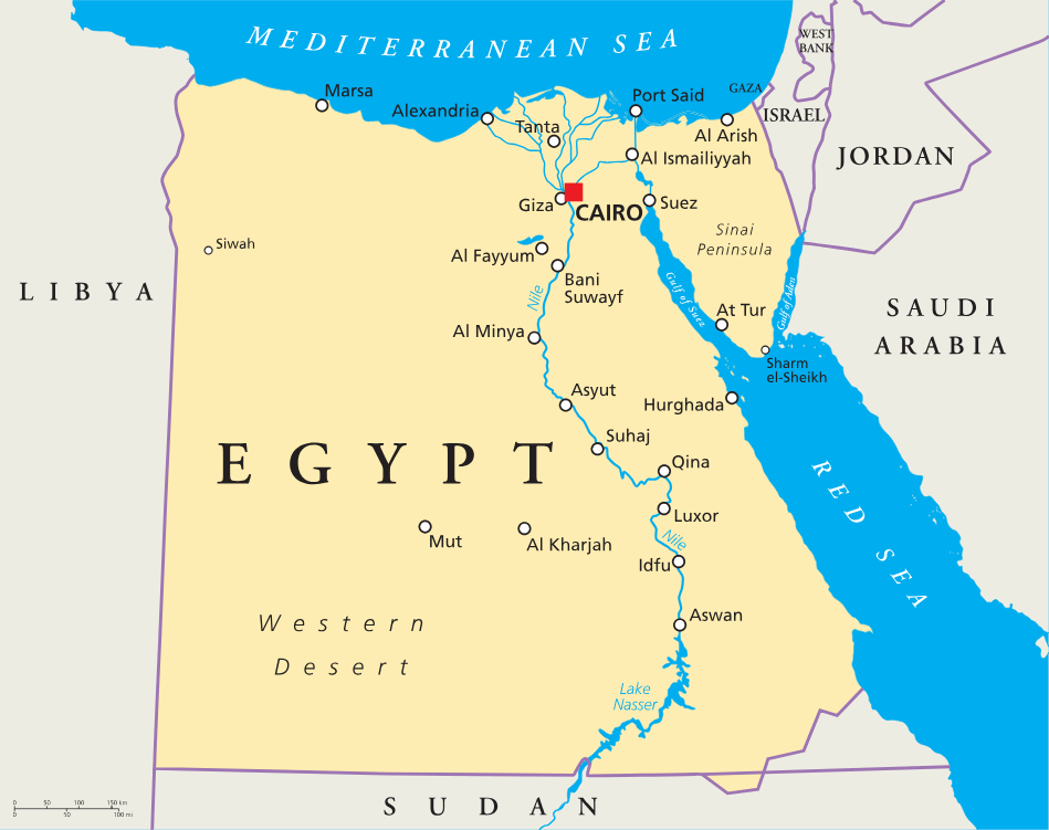
1. Egypt is a transcontinental country. Most of it lies in Africa, but the Sinai Peninsula is in Asia.
2. The ancient Egyptian civilization lasted for almost 3,000 years, from around 3100 BC to 332 BC.
3. Egypt has at least 118 known pyramids, built mainly as royal tombs for pharaohs.
4. The Great Pyramid of Giza is the only Wonder of the Ancient World still standing today.
5. The Nile River was central to ancient Egypt’s success, and around 95% of Egypt’s population still lives close to the Nile today.
6. Most of Egypt is covered by desert. The Nile divides the Egyptian desert into the Western Desert and Eastern Desert.
7. The Suez Canal connects the Mediterranean Sea to the Red Sea and is one of the world’s most important shipping routes.
8. Wadi Al-Hitan, or Whale Valley, contains fossil remains of early whales that show how whales evolved from land mammals.
9. The world’s oldest known woven dress, the Tarkhan Dress, was found in Egypt and is more than 5,000 years old.
10. The ancient Egyptians helped develop a 365-day calendar, using 12 months of 30 days plus five extra days at the end of the year.
Read more: Facts about Egypt
At a glance
Capital city: Cairo
Population: 118.4 million
Area: 1,001,450 sq km
Major languages: Arabic, English, French
Major religions: Islam, Christianity
Time zone: UTC+2 (Egypt Standard Time)
Geography of Egypt
Egypt is one of the largest African countries by population and lies in Northern Africa, with the Sinai Peninsula extending into Asia.
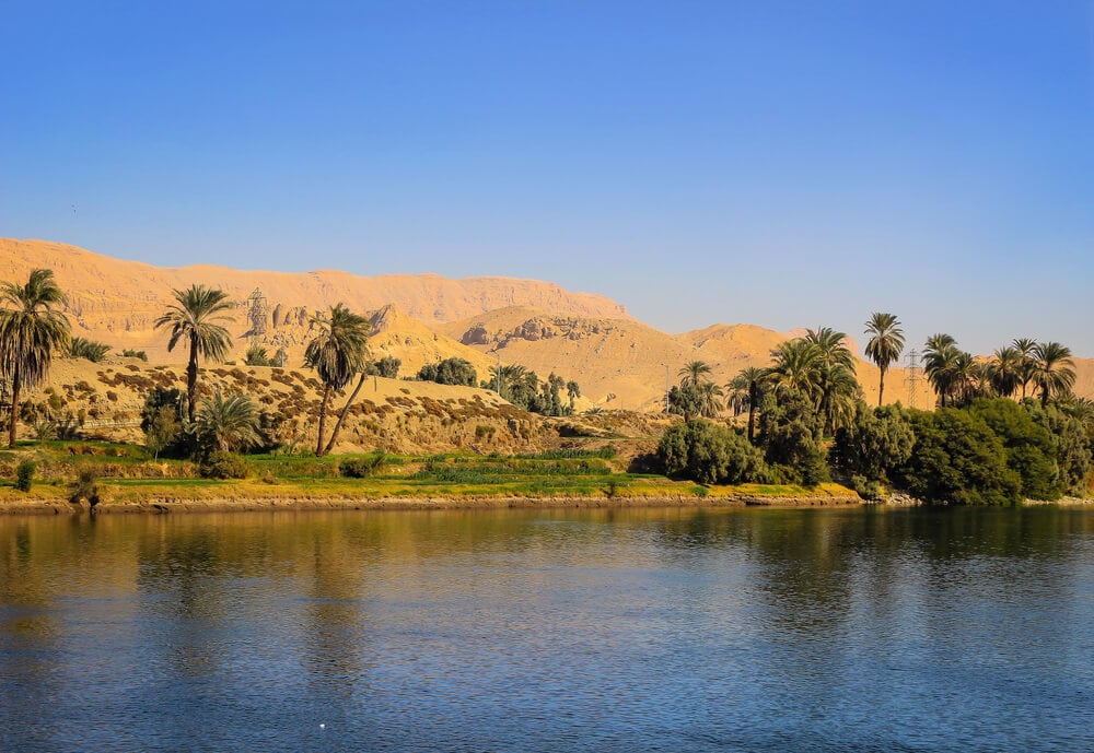
Most of its people live along the Nile Valley and Nile Delta, where the river creates a narrow strip of fertile land through the desert.
Nile River and Delta
The Nile River flows north through Egypt before spreading into the Nile Delta and reaching the Mediterranean Sea. This fertile river valley has supported Egyptian civilization for thousands of years.
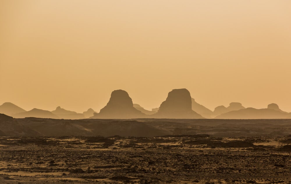
Western Desert
The Western Desert covers two-thirds of the land area of Egypt. It is the area to the west of the Nile and forms part of the Sahara. It includes vast sand seas, rocky plateaus and oases.
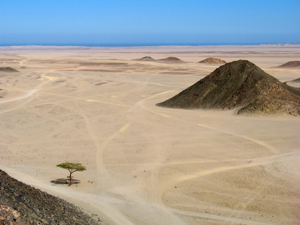
Eastern Desert and Red Sea Coast
The Eastern Desert lies between the Nile Valley and the Red Sea. This dry, mountainous region slopes down toward Egypt’s Red Sea coast.
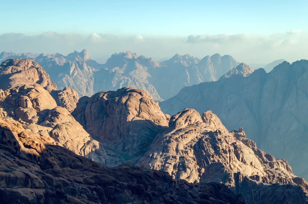
Sinai Peninsula
The Sinai Peninsula lies between the Mediterranean Sea and the Red Sea. It connects Africa and Asia and includes rugged mountains, desert landscapes and Egypt’s highest point, Mount Catherine.
See article: Flag of Egypt
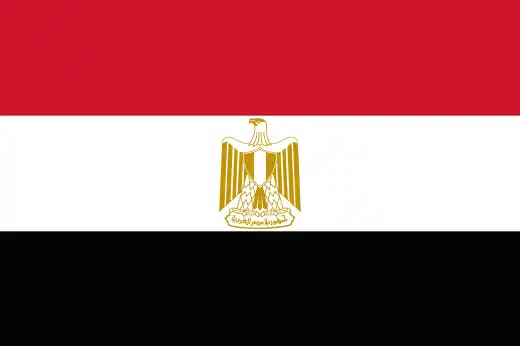
Egypt flag
Egypt’s modern flag developed from earlier flags used under the Muhammad Ali dynasty and later the Kingdom of Egypt. After the 1952 Revolution, Egypt adopted the red, white and black tricolor associated with Arab nationalism and the end of monarchy.
The modern Egyptian flag dates from 1984, when the Eagle of Saladin replaced the Hawk of Qureish in the center of the flag. The red, white and black design remains closely associated with Egypt’s republican era and its struggle against foreign domination.
Image credits:
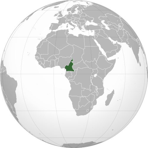
Egypt (centered orthographic projection): Addicted04, via Wikimedia Commons, licensed under CC BY-SA 3.0.

Caitriona Maria is an education writer and owner of The Facts Institute. With seven years of teaching experience and a background in educational content, she specialises in creating clear reference resources about countries, geography and global topics.