10 fun facts about Sierra Leone
1. Sierra Leone takes its name from the Portuguese explorer Pedro de Sintra, who called the area Serra Leoa, meaning “Lion Mountains,” after sailing along its coast in the 15th century.
2. Sierra Leone’s capital, Freetown, was founded in the late 18th century as a settlement for formerly enslaved and freed Black people.
3. Bunce Island, located in the Sierra Leone River, was once one of the most important slave-trading forts on the West African coast and played a major role in the transatlantic slave trade.
4. Fourah Bay College was founded in Freetown in 1827 and became one of the earliest Western-style institutions of higher education in sub-Saharan Africa.
5. Over half of Sierra Leone’s population live in rural areas, with the vast majority of the labor force working in agriculture.
6. Tacugama Chimpanzee Sanctuary, near Freetown, was founded in 1995 and rescues and rehabilitates endangered western chimpanzees.
7. Outamba-Kilimi National Park is home to a wide variety of wildlife, including chimpanzees, hippos, monkeys, forest elephants and numerous bird species.
8. Tiwai Island is a rainforest-covered island and wildlife sanctuary in the Moa River. Its name means “Big Island,” and it is particularly known for its rich primate diversity.
9. The 2006 film Blood Diamond, starring Leonardo DiCaprio, Djimon Hounsou and Jennifer Connelly, is set during Sierra Leone’s civil war and explores the role of conflict diamonds in funding violence.
10. Sierra Leone’s currency, the leone, was first introduced in 1964, replacing the British West African pound. In 2022, the country introduced a new leone worth 1,000 of the old leones, effectively removing three zeros from the currency.
Read more: Facts about Sierra Leone

At a glance
Capital city: Freetown
Population: 8.8 million
Area: 71,740 sq km
Major languages: English, Mende, Temne, Krio
Major religions: Islam, Christianity
Time zone: UTC +0 (Greenwich Mean Time)
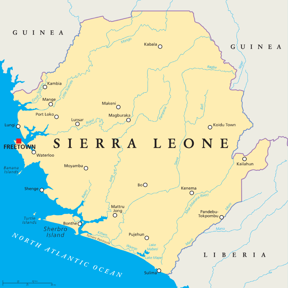
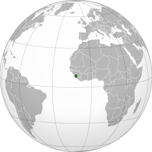
Geography of Sierra Leone
Sierra Leone is one of the smaller African countries and lies in Western Africa, with a coastline on the Atlantic Ocean.
Its landscape ranges from low coastal plains and mangrove wetlands to rolling interior plateaus and mountains in the east and northeast.
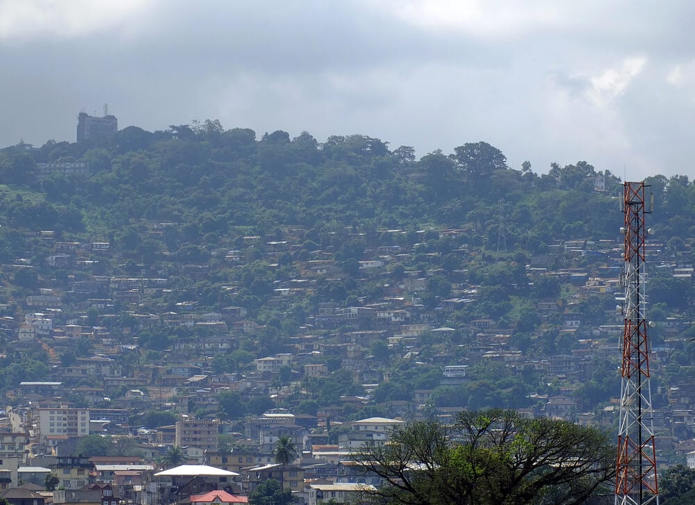
Coastal Plains & Freetown Peninsula
Much of western Sierra Leone consists of low coastal plains crossed by rivers and estuaries. The Freetown Peninsula is much more mountainous, with forested hills rising steeply close to the sea around the capital, Freetown.
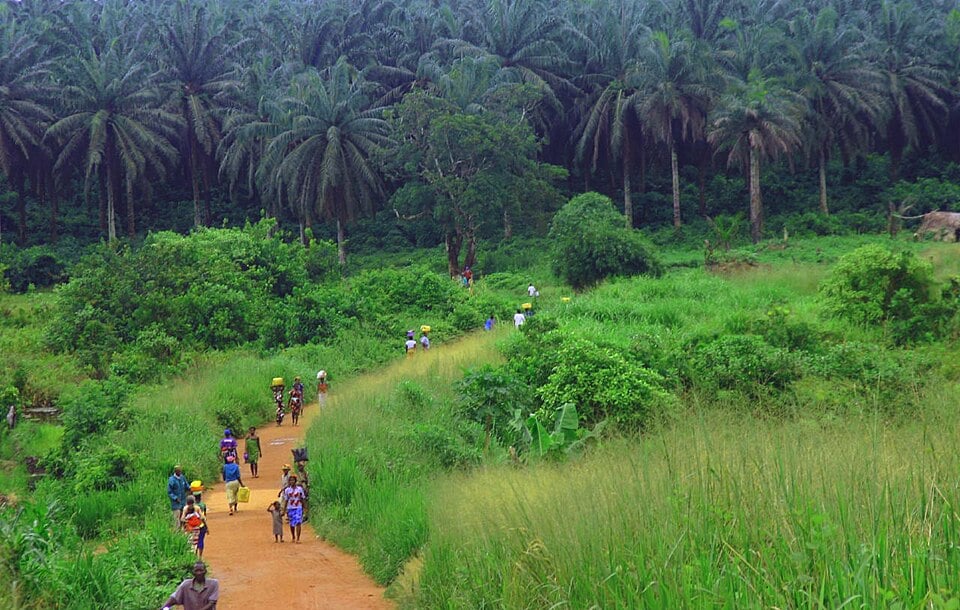
Interior Plains & Plateaus
Away from the coast, the land gradually rises into broad plains and rolling plateaus that cover much of central Sierra Leone. These areas contain a mixture of savanna, farmland and forest, with numerous rivers flowing through the landscape towards the Atlantic Ocean.
Eastern Highlands & Mount Bintumani
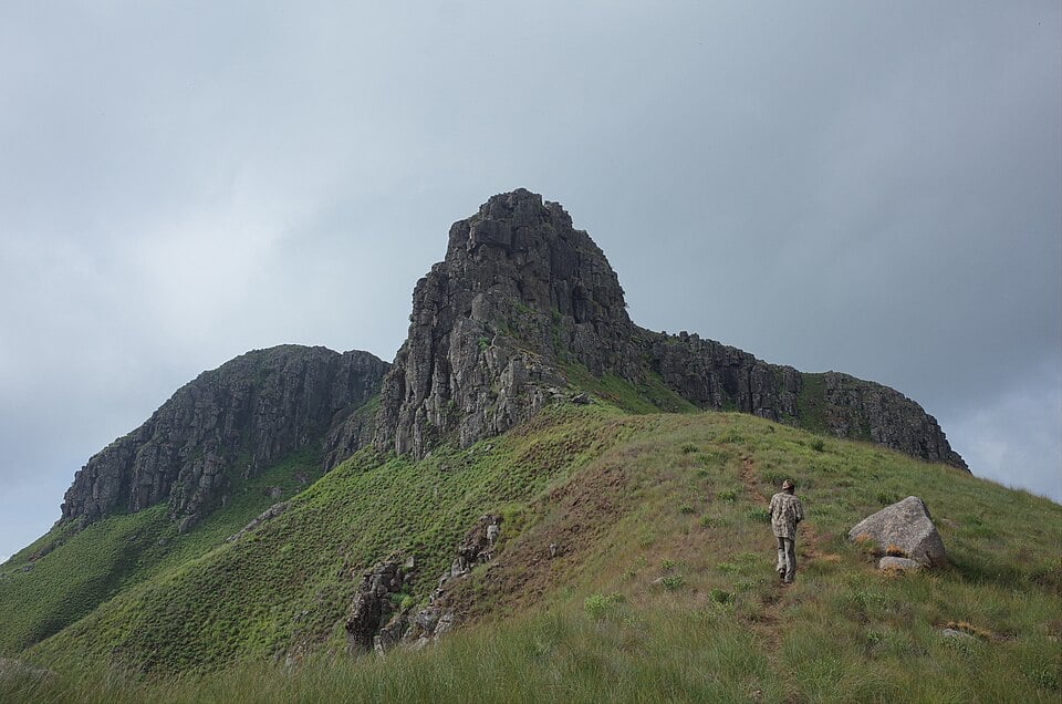
Sierra Leone’s highest terrain lies mainly in the east and northeast. The Loma Mountains and Tingi Hills contain rugged peaks, forested slopes and some of the country’s most elevated landscapes. Mount Bintumani, in the Loma Mountains, is the highest point in Sierra Leone
Rivers & Wetlands
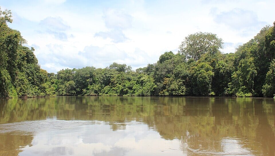
Sierra Leone is crossed by numerous rivers, including the Sewa, Jong, Little Scarcies, Rokel and Moa rivers. Their upper courses are often rocky and fast-flowing, while farther downstream they widen into broad estuaries that extend far inland. Mangrove swamps and floodplains border many of these lower river valleys.
See article: Flag of Sierra Leone
Sierra Leone flag
Sierra Leone adopted its green, white and blue national flag on 27 April 1961, the same day the country gained independence from Britain. Its colors were taken from the national coat of arms created shortly before independence.
The flag was first raised at midnight during the independence celebrations, replacing the British colonial flag. The same design has remained in use ever since.
Image credits:
Sierra Leone Forest (Kenema-Kailahun Road): Lindsay Stark, via Wikimedia Commons, licensed under CC BY 2.0. Cropped.
Mountain Bintunami, Loma Mountains: Rokaso, via Wikimedia Commons, licensed under CC BY-SA 4.0. Cropped.
Little Scarcies River Outamba Kilimi Park: Leasmhar, via Wikimedia Commons, licensed under CC BY-SA 3.0. Cropped.

Caitriona Maria is an education writer and owner of The Facts Institute. With seven years of teaching experience and a background in educational content, she specialises in creating clear reference resources about countries, geography and global topics.