10 fun facts about Liberia
1. Liberia is one of only two African countries, alongside Ethiopia, that were never formally colonized by a European power.
2. The name Liberia is derived from the Latin word liber, meaning “free”.
3. Liberia is Africa’s oldest republic. Settlements were established there for formerly enslaved African Americans returning to the continent in the early 1820s, and Liberia declared independence in 1847.
4. Liberia has the world’s largest shipping registry. Thousands of ships sail under the Liberian flag because its open registry offers competitive fees, potential tax advantages and flexible rules.
5. Liberia has one of the world’s youngest populations, with a median age of around 19 years.
6. Sapo National Park protects one of West Africa’s largest remaining areas of primary tropical rainforest.
7. Liberia’s flag was modelled on the flag of the United States. Its single white star represents Liberia as the first independent republic in Africa.
8. The endangered pygmy hippopotamus can be found in Sapo National Park. Liberians call it a “water cow”.
9. Robertsport in northwestern Liberia is a lesser-known surfing destination. The small fishing town has long point-break waves, an active local surfing community and attracts surfers from around the world.
10. Former professional footballer George Weah served as president of Liberia from 2018 to 2024. Before entering politics, he played for major European clubs and became the first African footballer to win the Ballon d’Or.
Read more: Facts about Liberia

At a glance
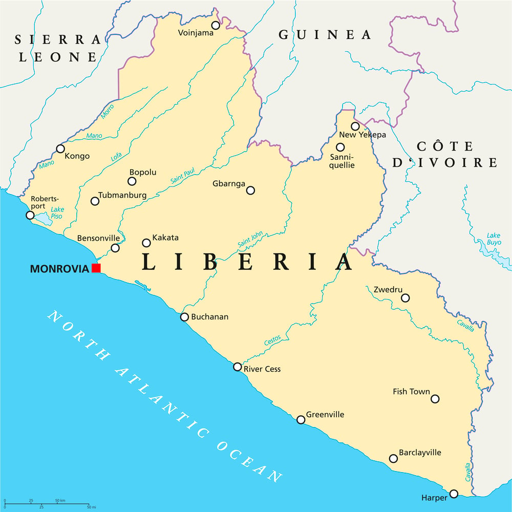
Capital city: Monrovia
Population: 5.7 million
Area: 111,369 sq km
Major languages: English, various regional languages
Major religions: Christianity, Islam
Time zone: UTC +0 (GMT)
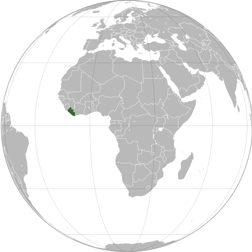
Where is Liberia?
Continent: Africa
Region: West Africa
Neighboring countries: Sierra Leone, Guinea and Côte d’Ivoire
Highest point: Mount Wuteve (1,440 m / 4,724 ft)
Geography of Liberia
Liberia is one of the most heavily forested African countries and lies on the Atlantic coast of Western Africa.
Its geography is shaped by tropical rainforests, wetlands, savannas and Guinean mangroves.
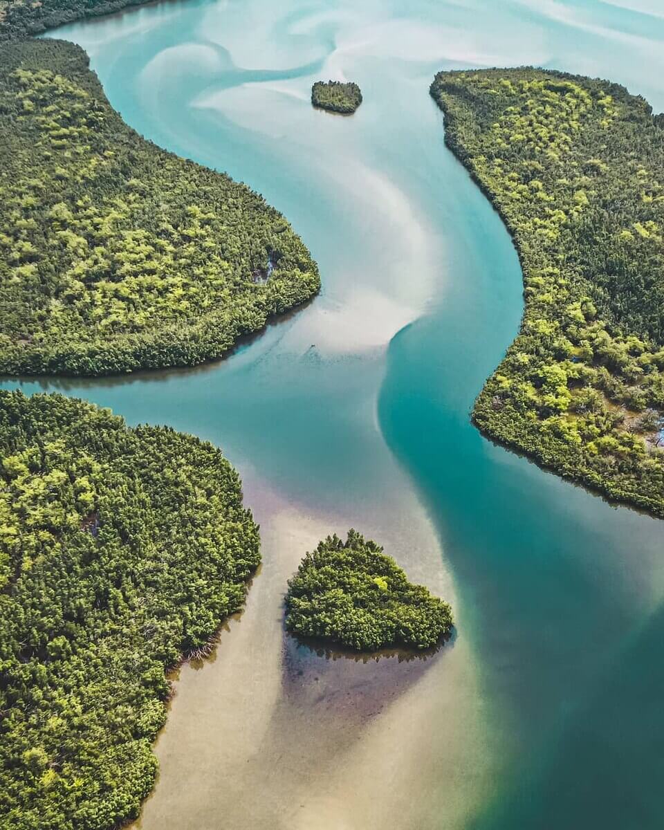
Atlantic Coast and Lagoons
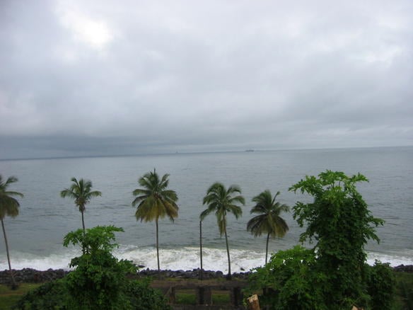
Liberia’s low-lying Atlantic coast includes long sandy beaches, lagoons, wetlands and rocky headlands. Lake Piso, near Robertsport, is the country’s largest lagoon at 103 sq km (40 sq mi).
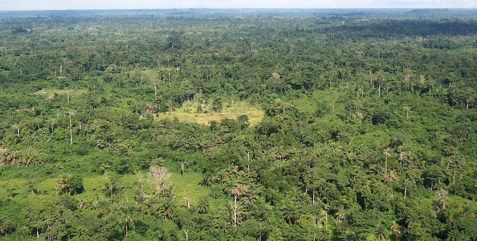
Tropical Rainforests
Large areas of Liberia are covered by tropical rainforest. The country contains about a 42% share of the Upper Guinean forest, one of West Africa’s major remaining rainforest regions.
Rivers and Valleys
Numerous rivers flow through Liberia toward the Atlantic Ocean. Major waterways include the Mano, Lofa, St Paul, St John, Cestos and Cavalla rivers, with the Mano and Cavalla forming parts of the country’s borders.
Northern Highlands
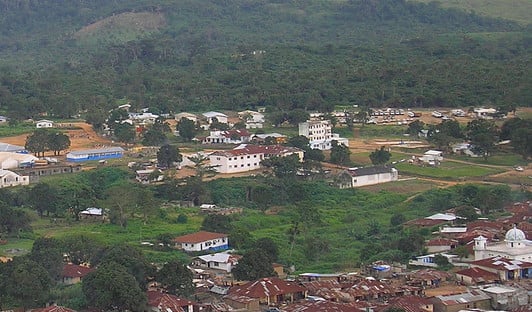
Liberia’s highest and most mountainous land is found in the north and northwest. Mount Wuteve, in the Wologizi Range, is the country’s highest point, while the Nimba Range rises near the borders with Guinea and Côte d’Ivoire.
See article: Flag of Liberia
Liberia flag
The flag of Liberia reflects the country’s close historical links with the United States. During the colonial period, Liberia used a flag with red and white stripes and a blue canton containing a white cross.
Before independence, Susannah Elizabeth Lewis led a committee of seven women who designed a new national flag. They replaced the cross with a single white star. The flag was officially adopted in 1847 and has remained unchanged ever since.
Image credits:
Liberia (centered orthographic projection): Imag source: Martin23230;* Derivative work: by Marcos Elias de Oliveira Júnior talk! Marcos Elias de Oliveira Júnior fala! via Wikimedia Commons, licensed under CC BY-SA 3.0.
Lake Piso: Bethel. Anthony Chisom, via Wikimedia Commons, licensed under CC BY-SA 4.0. Cropped.
Monrovia Bay: ph, via Wikimedia Commons, licensed under CC BY-SA 1.0. Cropped.
Voinjama, Liberia (northern highlands): Global Photographer, via Wikimedia Commons, licensed under CC BY-SA 3.0. Cropped.

Caitriona Maria is an education writer and owner of The Facts Institute. With seven years of teaching experience and a background in educational content, she specialises in creating clear reference resources about countries, geography and global topics.