10 fun facts about Guinea-Bissau
1. Guinea-Bissau uses the name of its capital, Bissau, to distinguish it from the neighboring country of Guinea.
2. There are four countries in the world with “Guinea” in their name: Guinea-Bissau, Guinea, Equatorial Guinea and Papua New Guinea.
3. The Bijagós Archipelago off the coast of Guinea-Bissau is made up of around 88 islands and islets.
4. Guinea-Bissau is one of the few places in the world where you can see saltwater hippos, especially around Orango Island.
5. On Uno Island in Guinea-Bissau, boys must go into the forest for several months to live alone in a ceremony called Vaca Bruto, which means “strong cow”. The rite of passage is supposed to transform the boys into men.
6. Guinea-Bissau was formerly known as Portuguese Guinea.
7. Poilão Island is one of the most important green turtle nesting sites in the world, with thousands of turtles returning to lay their eggs.
8. Guinea-Bissau gained its first UNESCO World Heritage Site in 2025, when the Bijagós Archipelago was added to the list.
9. In 2020, Guinea-Bissau briefly had two presidents and two prime ministers after a disputed election.
10. Guinea-Bissau and Cape Verde were once governed by the same independence party, the PAIGC. The party ruled Cape Verde from independence in 1975 until 1980, when its Cape Verde branch became a separate party.
Read more: Facts about Guinea-Bissau
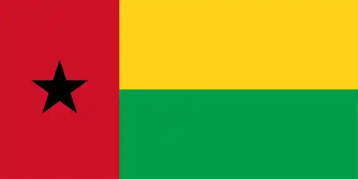
At a glance
Capital city: Bissau
Population: 2.3 million
Area: 36,125 sq km
Major languages: Creole (Portuguese-based), Portuguese, Pular (Fula), Balanta and Mandinka
Major religions: Islam, Christianity, traditional/folk beliefs
Time zone: UTC +0 (Greenwich Mean Time)
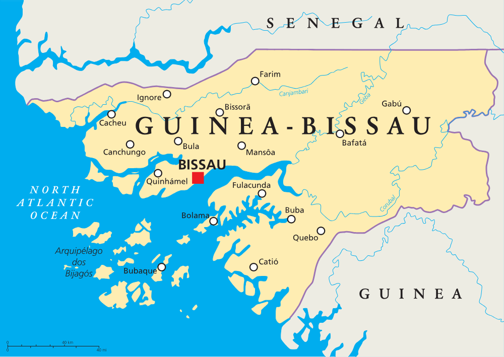
Where is Guinea-Bissau?
Continent: Africa
Region: West Africa
Neighboring countries: Senegal and Guinea
Highest point: Dongol Rondè (266 m / 873 ft)
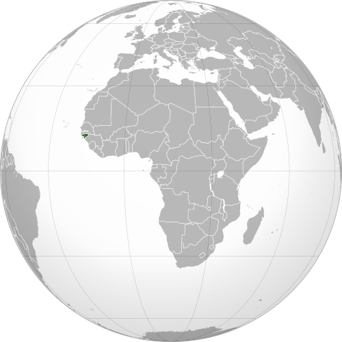
Geography of Guinea-Bissau
Guinea-Bissau is one of the smaller African countries and lies in Western Africa.
Its geography is shaped by drowned river valleys, mangrove-lined coastlines, islands and inland savanna.
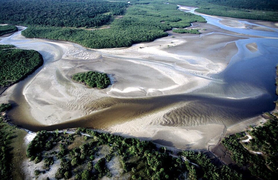
Atlantic Coast and Rias
Guinea-Bissau’s coast is cut by many drowned river valleys, known as rias. These form a maze of inlets, estuaries and wetlands along the Atlantic Ocean.
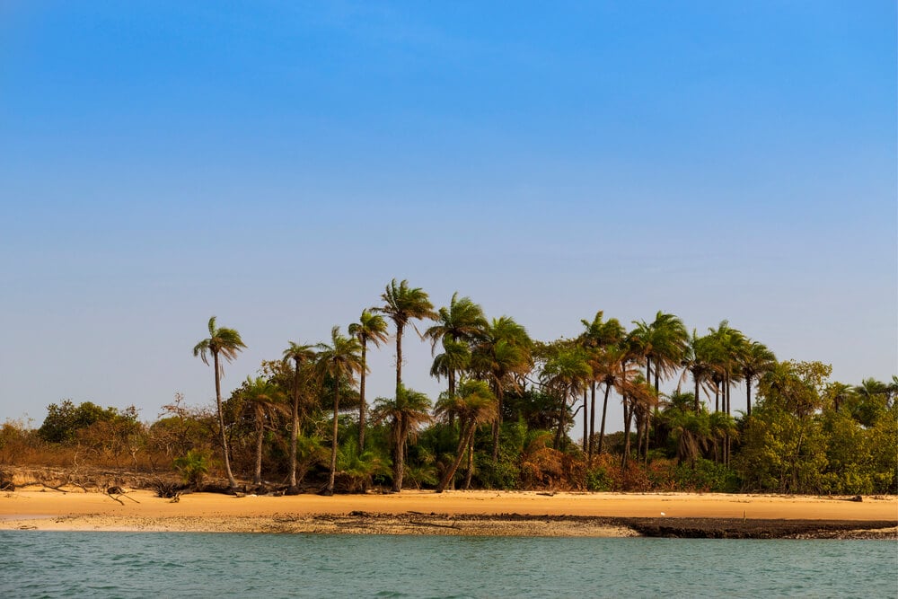
Bijagós Archipelago
The Bijagós Archipelago lies off the coast of Guinea-Bissau. This is a group of about 88 islands and islets. It is the only active deltaic archipelago on the African Atlantic coast.
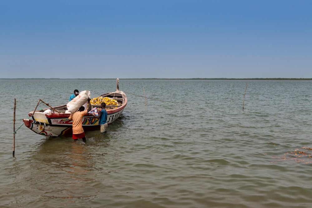
Rivers and Estuaries
Several rivers flow westward through Guinea-Bissau toward the Atlantic Ocean. Major waterways include the Geba, Corubal, Cacheu and Cacine rivers.
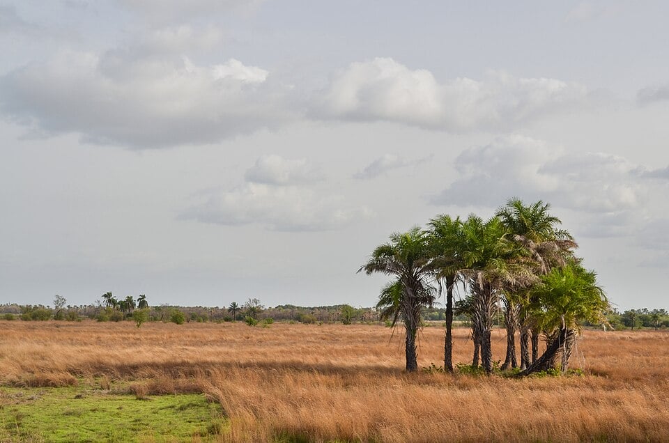
Inland Savanna and Forests
Away from the coast, Guinea-Bissau becomes more wooded. The inland landscape includes savanna, grassland and patches of trees, especially toward the north.
See article: Flag of Guinea-Bissau
Guinea-Bissau flag
The flag of Guinea-Bissau was adopted on 24 September 1973, the day the country proclaimed independence from Portugal. Its design was based on the flag of the African Party for the Independence of Guinea and Cape Verde (PAIGC), the movement that led the struggle against Portuguese rule.
The flag has a red vertical band with a black star, alongside yellow and green horizontal bands. Its colors reflect pan-African symbolism, while the black star is associated with African unity.
Image credits:
Guinea-Bissau (centered orthographic projection): M.Bitton, via Wikimedia Commons, licensed under CC BY-SA 4.0.
Ramsar Site: Powell.Ramsar, via Wikimedia Commons, licensed under CC BY-SA 4.0. Cropped.
Cacheu River, Guinea-Bissau: tiagofernandez via Depositphotos.
Typical scenery of Guinea-Bissau (inland): jbdodane, via Wikimedia Commons, licensed under CC BY 2.0. Cropped.

Caitriona Maria is an education writer and owner of The Facts Institute. With seven years of teaching experience and a background in educational content, she specialises in creating clear reference resources about countries, geography and global topics.