10 fun facts about Libya
1. More than 90% of Libya is covered by desert or semi-desert landscapes.
2. The Rock-Art Sites of Tadrart Acacus contain thousands of ancient paintings and carvings, some dating back to around 12,000 BC.
3. Libya has the largest proven oil reserves in Africa and is one of the world’s leading oil-rich countries.
4. Libya once had a completely green national flag. Used from 1977 to 2011, it was the only national flag in the world made up of a single plain color.
5. Leptis Magna in Libya is considered one of the most beautiful and best-preserved ancient Roman cities in the world.
6. The Ubari Sand Sea contains beautiful oasis lakes surrounded by towering sand dunes in the middle of the Sahara.
7. Waw an Namus is a volcanic crater deep in the Libyan Desert. Black volcanic ash spreads around it, creating a dark circle against the pale desert sand.
8. Libya has one of the lowest population densities in the world, with most of its population concentrated along the Mediterranean coast.
9. The Libyan Desert is one of the harshest places on Earth, where summer daytime temperatures can rise above 50°C (122°F), yet winter nights may fall below −9 °C (16 °F).
10. Libya’s Great Man-Made River is a vast underground pipeline network that carries ancient “fossil water” from deep beneath the Sahara to cities and farms along the coast. It has been described as the largest irrigation project in the world.
Read more: Facts about Libya

At a glance
Capital city: Tripoli
Population: 7.5 million
Area: 1,759,540 sq km
Major languages: Arabic, indigenous languages
Major religion: Islam
Time zone: UTC+2 (Eastern European Time)
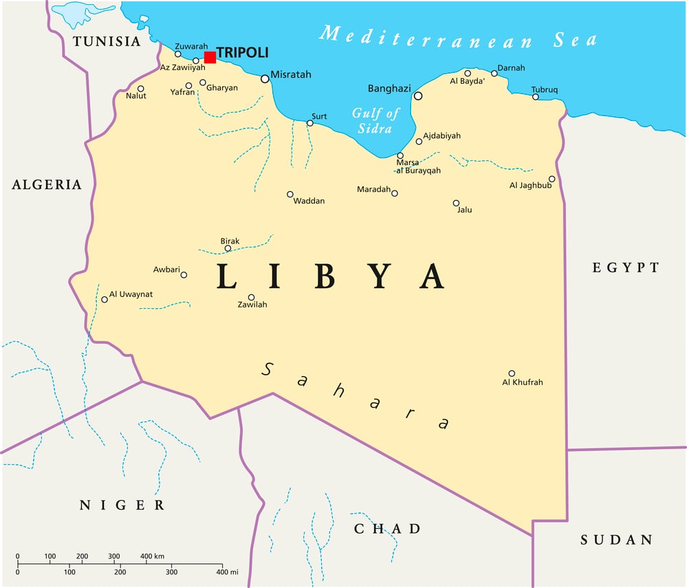
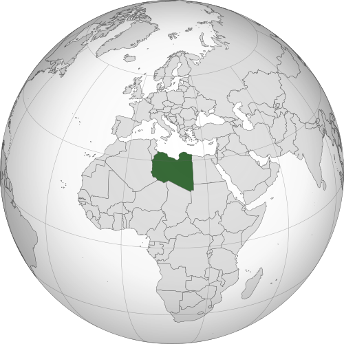
Geography of Libya
Libya is one of the largest African countries by area and lies in Northern Africa, with a long Mediterranean coastline.
Most of the country is dominated by the Sahara Desert, while cultivated land accounts for only about 1% of its area.
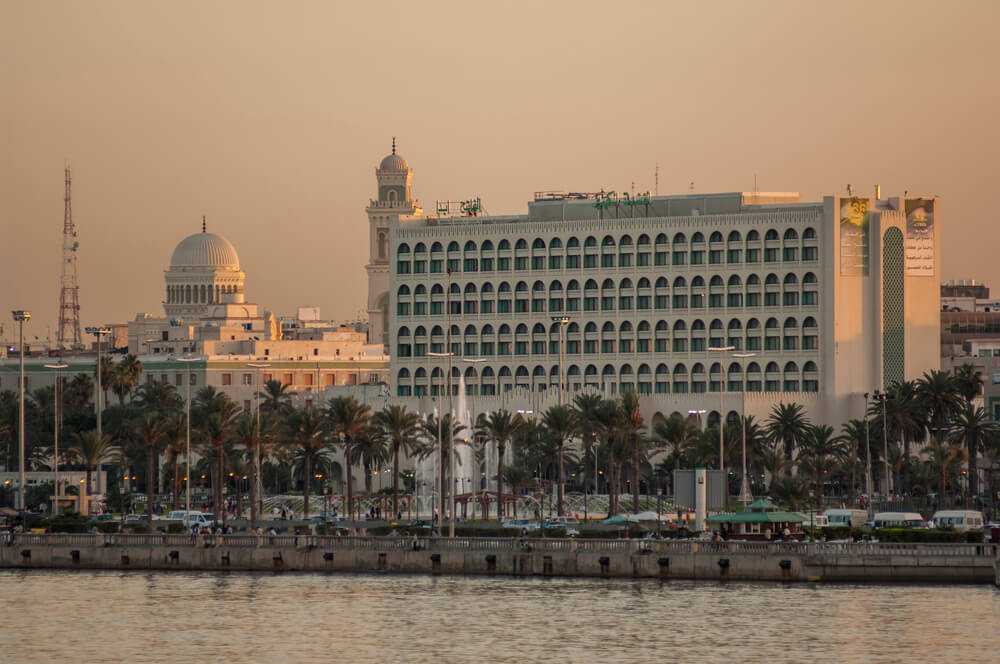
Mediterranean Coast and Coastal Plains
Libya’s northern edge stretches along the Mediterranean Sea. The coastal plains vary in width and contain much of the country’s farmland and largest cities, including Tripoli and Benghazi.
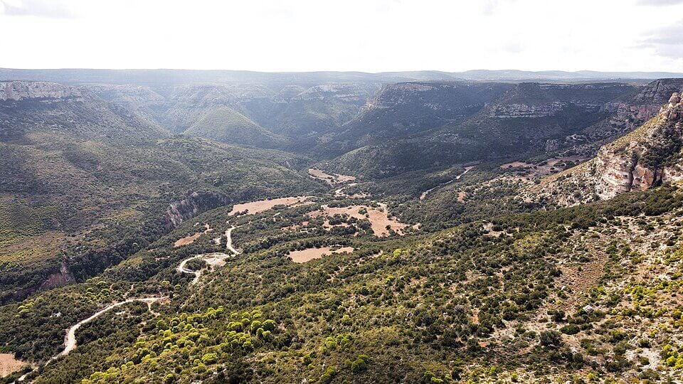
Jebel Akhdar and the Northern Highlands
Jebel Akhdar, meaning “Green Mountain,” rises near the northeastern coast. It is Libya’s wettest region and one of the country’s few forested areas. In the northwest, the Jebel Nafusa forms another rocky highland area overlooking the coastal plains.
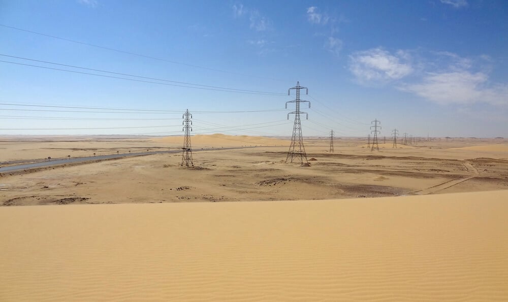
Sahara Desert
Around 90% of Libya is covered by desert. The desert features mountains, oases and vast sand seas. Rainfall is extremely rare, and Libya has no permanent rivers.
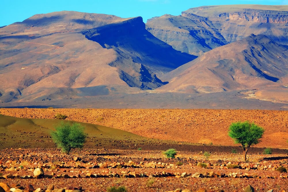
Acacus Mountains
The Tadrart Acacus Mountains rise from the Sahara near Libya’s border with Algeria. The area is best known for its sand dunes, wadis, natural arches and thousands of rock paintings, dating from 12,000 B.C. to A.D. 100.
See article: Flag of Libya
Libya flag
The flag of Libya was first adopted when the country gained independence under King Idris I in 1951. Its red, black and green bands represented Libya’s three historic regions, while the white crescent and star were influenced by the banner of the Senussi dynasty.
The flag was replaced after the monarchy was overthrown in 1969. Libya later used an entirely green flag from 1977 until 2011. During the Libyan Civil War, the original independence flag returned as a symbol of opposition to Muammar Gaddafi and was officially restored in 2011.
Image credits:
Libya (centered orthographic projection): M.Bitton, via Wikimedia Commons, licensed under CC BY-SA 4.0.
Tripoli, Libya (evening shot of the Tripoli waterfront): Jasonrow via Depositphotos.
Wadi Murqus: ماهر العوامي, via Wikimedia Commons, licensed under CC BY-SA 4.0. Cropped.

Caitriona Maria is an education writer and owner of The Facts Institute. With seven years of teaching experience and a background in educational content, she specialises in creating clear reference resources about countries, geography and global topics.