10 fun facts about the Central African Republic
1. The Central African Republic is a landlocked country in the heart of Africa, with no coastline or direct access to the sea.
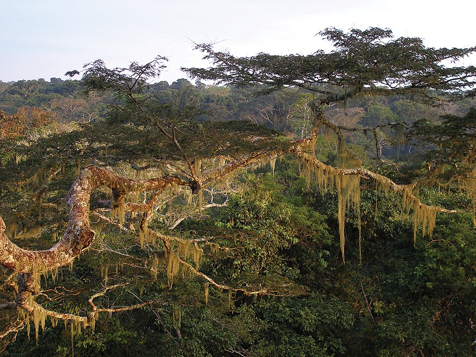
2. Part of the Congo Basin rainforest, the world’s second-largest tropical rainforest, extends into the Central African Republic.
3. Expect dark night skies: Central African Republic is one of the countries least affected by light pollution.
4. The country has one of the lowest population densities in Africa, with a population of about 5.5 million people and only about nine people per square kilometer.
5. The Central African Republic is home to many rare and critically endangered species, including forest elephants and western lowland gorillas.
6. The Central African Republic is home to Africa’s pole of inaccessibility, the point on the continent farthest from the sea. It lies near Obo, about 1,814 km (1,127 mi) from the nearest coast.
7. At least 597 butterfly species have been identified in the Central African Republic.
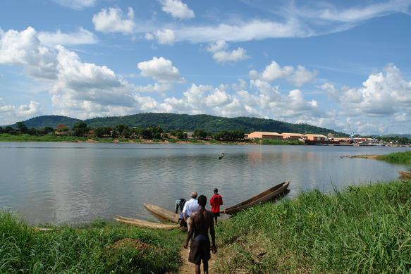
8. Bangui, the capital of the Central African Republic, sits on the Ubangi River — and “Bangui” is an anagram of “Ubangi.”
9. The flag of the Central African Republic combines blue, white and red from the French tricolor with green, yellow and red pan-African colors.
10. The country has one UNESCO World Heritage Site entirely within its borders: Manovo-Gounda St Floris National Park. It is known for its rich wildlife and endangered species.
Read more: Facts about the Central African Republic

At a glance
Capital city: Bangui
Population: 5.5 million
Area: 622,984 sq km
Major languages: French, Sangho
Major religions: Christianity, Islam
Time zone: UTC+1 (West Africa Time)
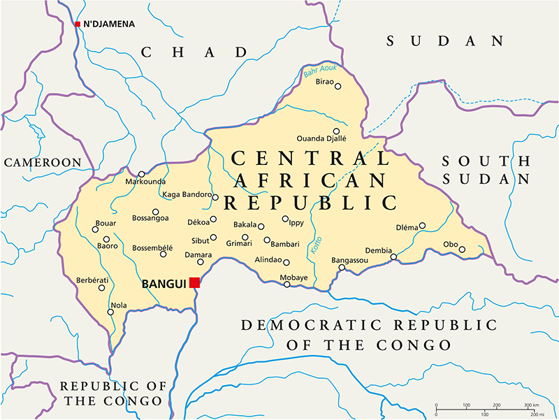
Where is the Central African Republic?
Continent: Africa
Region: Central Africa
Neighboring countries: Cameroon, Chad, Sudan, South Sudan, Democratic Republic of the Congo and Republic of the Congo
Highest point: Mont Ngaoui (1,410 m / 4,626 ft)
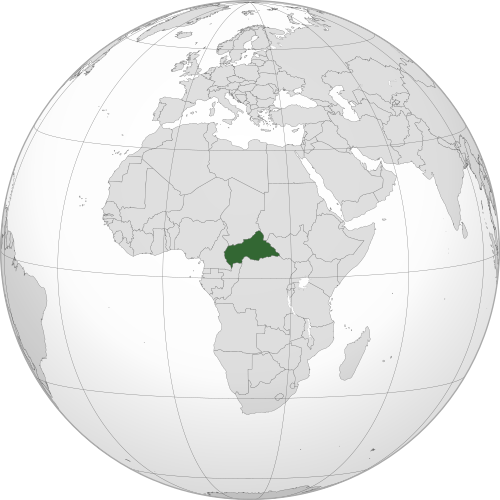
Geography of the Central African Republic
The Central African Republic is a landlocked country in the heart of Africa. It is one of the least densely populated countries in Africa.
Much of the country is made up of a broad, rolling plateau, with savanna across much of the interior.
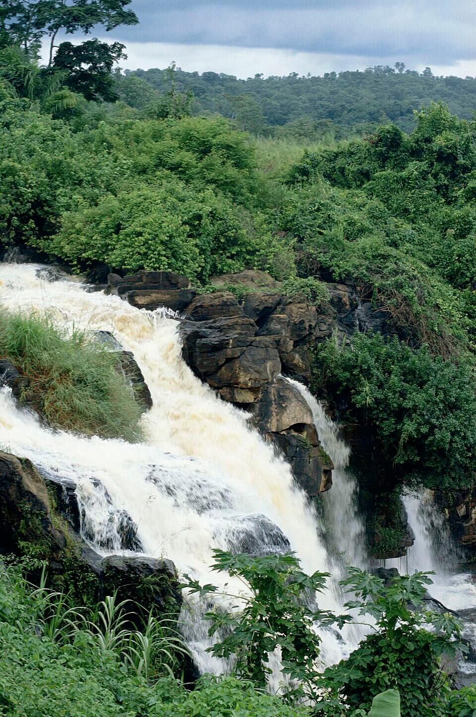
Central Plateau
Central African Republic lies on a vast plateau of flat to gently rolling land. Scattered hills rise in parts of the northeast and southwest.
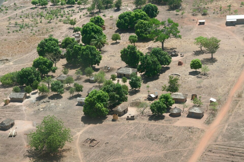
Northern Savanna
Much of Central African Republic’s territory is composed of savanna drylands, while the northeast is the driest part of the country.
Southern Rainforests
The south of the Central African Republic contains tropical rainforest linked to the Congo Basin. One of the best-known forest areas is Dzanga-Ndoki National Park, part of the Sangha Trinational World Heritage Site shared with Cameroon and the Republic of Congo.
Ubangi and Chari Rivers
The country’s rivers drain in two main directions. The Ubangi River system flows south toward the Congo River, while the Chari River system drains north toward Lake Chad.
See article: Flag of the Central African Republic
The Central African Republic flag
The flag of the Central African Republic was adopted in 1958, when the former French territory of Ubangi-Shari became the Central African Republic within the French Community. It was designed by Barthélémy Boganda, who wanted the flag to represent both Africa and France.
Even during the period when the country briefly became the Central African Empire between 1976 and 1979, the same national flag continued to be used alongside the emperor’s personal standard.
Image credits:
Central African Republic (centered orthographic projection): M.Bitton, via Wikimedia Commons, licensed under CC BY-SA 4.0.
Ubangi river near Bangui: Pete Chirico, USGS, via Wikimedia Commons, licensed under CC BY-SA 1.0. Cropped.
Boali Falls, Central African Republic: Philippe JIMENEZ,via Wikimedia Commons, licensed under FAL. Cropped.

Caitriona Maria is an education writer and owner of The Facts Institute. With seven years of teaching experience and a background in educational content, she specialises in creating clear reference resources about countries, geography and global topics.