10 fun facts about Paraguay
1. Paraguay is one of only two landlocked countries in South America, along with Bolivia. Despite having no coastline, it has an extensive network of navigable rivers.
2. Guaraní is spoken by the majority of Paraguayans. Paraguay is considered unusual in Latin America because the Indigenous language is widely spoken across the general population.
3. The name Paraguay comes from the Guaraní language, although its exact meaning is debated. One common interpretation is “river that gives birth to the sea.”
4. Paraguay has a navy despite being landlocked. Its naval forces patrol the Paraguay and Paraná rivers and help protect the country’s extensive inland waterways.
5. Paraguay is one of the few countries in the world whose flag has different designs on each side. One side displays the national coat of arms, while the reverse features the Treasury Seal with a lion and the words Paz y Justicia (“Peace and Justice”).
6. Paraguay is one of the world’s leading producers of hydroelectric power. The enormous Itaipu Dam on the Paraná River, shared with Brazil, is one of the largest hydroelectric power plants in the world.
7. More than half of Paraguayans are under the age of 30.
8. The Jesuit Missions of La Santísima Trinidad de Paraná and Jesús de Tavarangue form Paraguay’s only UNESCO World Heritage Site. The surviving ruins date from settlements established by Jesuit missionaries among the Guaraní people.
9. Paraguay lost about half of its population during the War of the Triple Alliance from 1864 to 1870, when it fought Brazil, Argentina and Uruguay. It is considered one of the deadliest wars in Latin American history.
10. Paraguay is one of the more sparsely populated countries in Latin America, with much of its population concentrated in the eastern part of the country, while the vast Gran Chaco in the west remains relatively lightly populated.
Read more: Facts about Paraguay

At a glance
Capital city: Asunción
Population: 6,460,159
Area: 406,752 sq km
Major languages: Spanish and Guaraní
Major religions: Christianity
Time zone: UTC-3
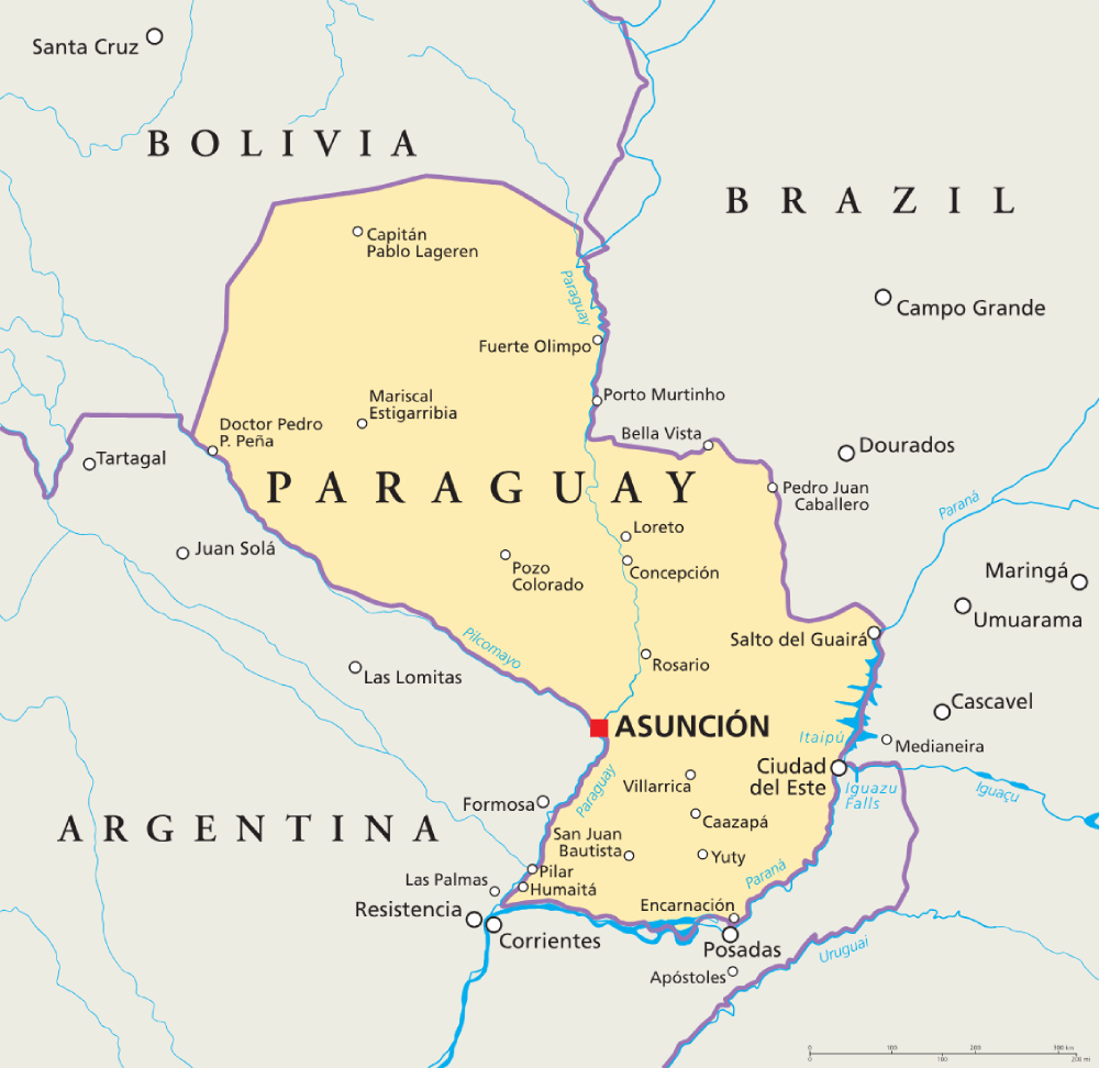
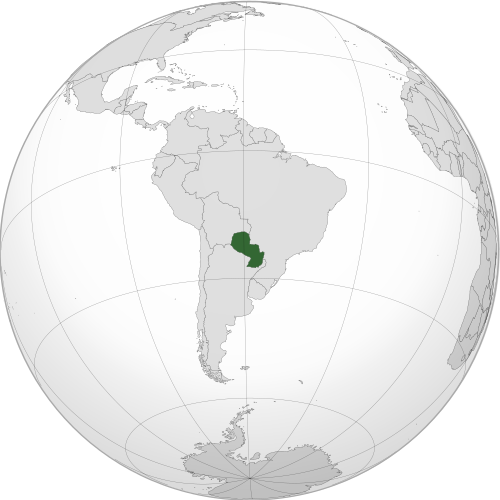
Where is Paraguay?
Continent: South America
Neighboring countries: Argentina, Bolivia and Brazil
Highest point: Cerro Tres Kandú (842 m / 2,762 ft)
Geography of Paraguay
Paraguay is one of the landlocked countries of South America, bordered by Argentina, Brazil and Bolivia.
The Paraguay River divides the country into two distinct geographical regions: the greener and hillier Eastern Region and the vast, largely flat Gran Chaco in the west.
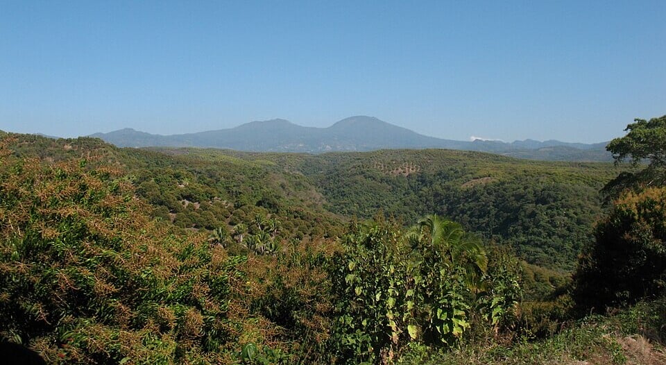
Eastern Plains & Plateaus
Eastern Paraguay consists of rolling plains, broad valleys, woodland and low plateaus. The land generally rises towards the east, where the Paraná Plateau extends along parts of the border with Brazil and Argentina.
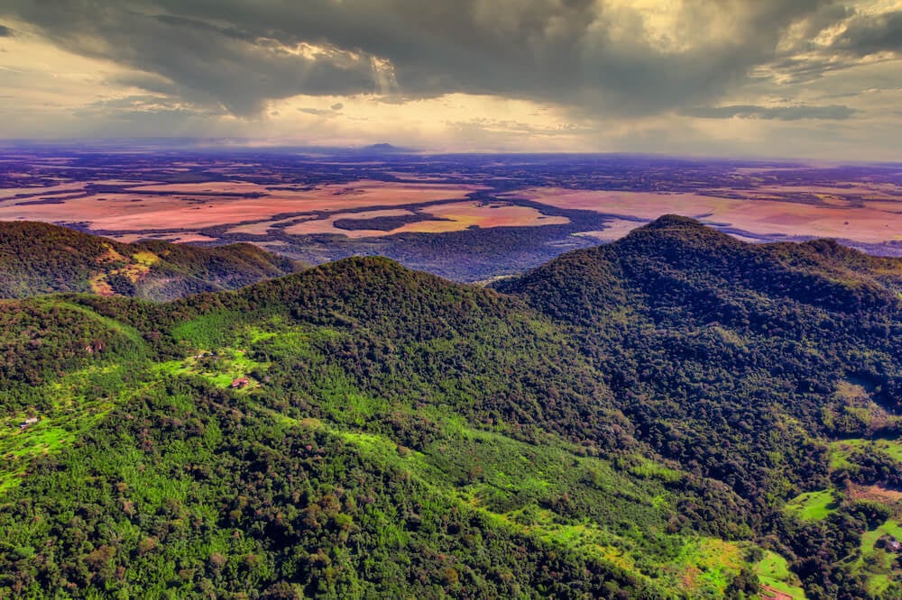
Eastern Highlands & Cerro Tres Kandú
Several low mountain ranges and uplands cross eastern Paraguay, including the Amambay, Mbaracayú and Ybytyruzú ranges. Cerro Tres Kandú, located within the Ybytyruzú range, is the country’s highest point.
Gran Chaco
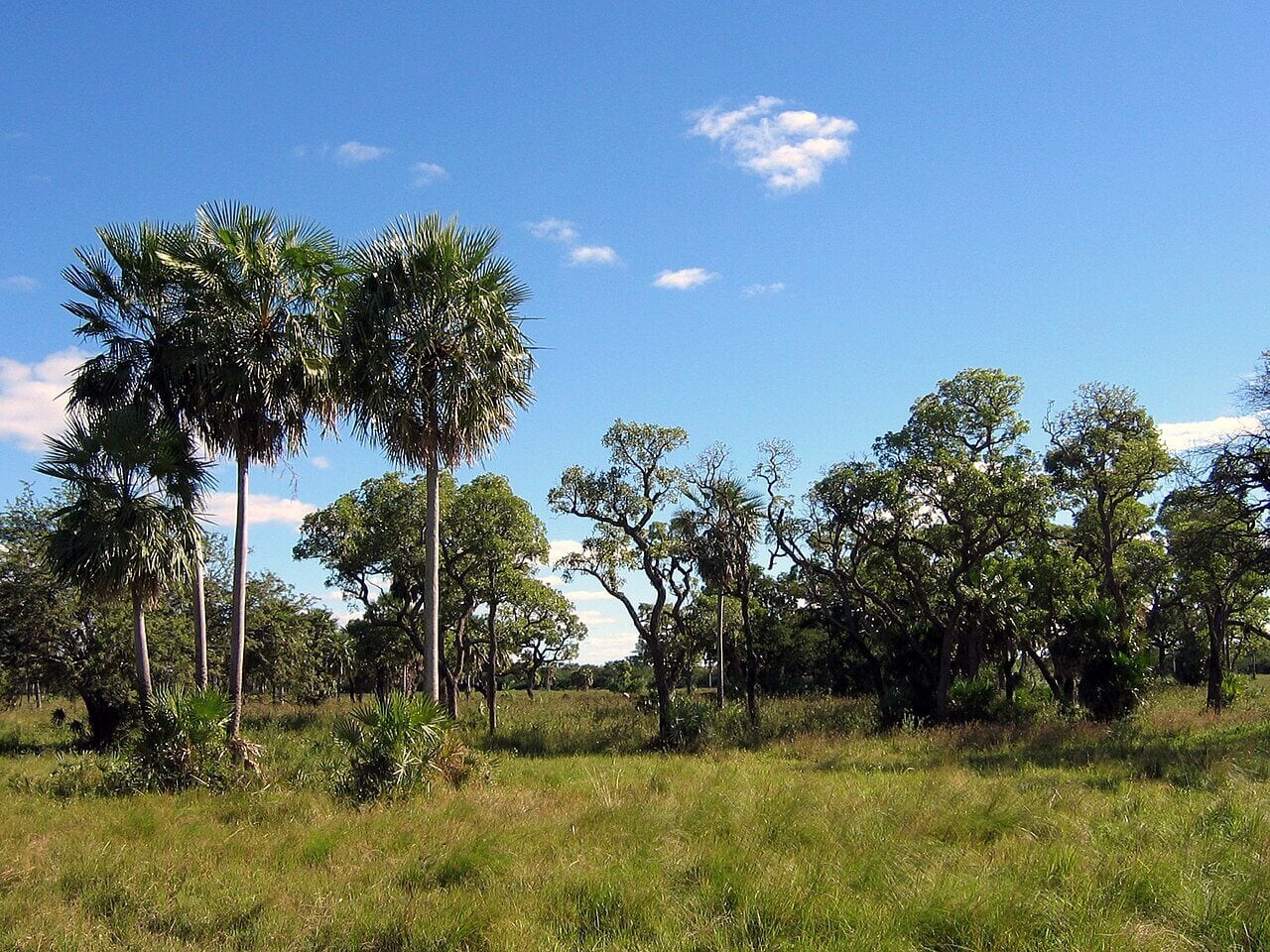
Western Paraguay forms part of the Gran Chaco, a vast low-lying plain that covers around 60% of the country. Much of the region consists of dry forest and savanna in the northwest, while the southeast contains seasonally flooded grasslands and wetlands.
Paraguay River & Major Waterways
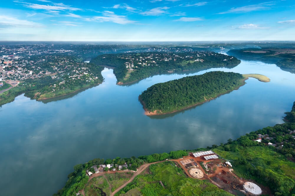
The Paraguay River flows from north to south through the country and separates the Eastern Region from the Gran Chaco. The Paraná River forms much of Paraguay’s eastern and southern boundary, while the Pilcomayo River flows across the Chaco and forms part of the border with Argentina.
Wetlands & Floodplains
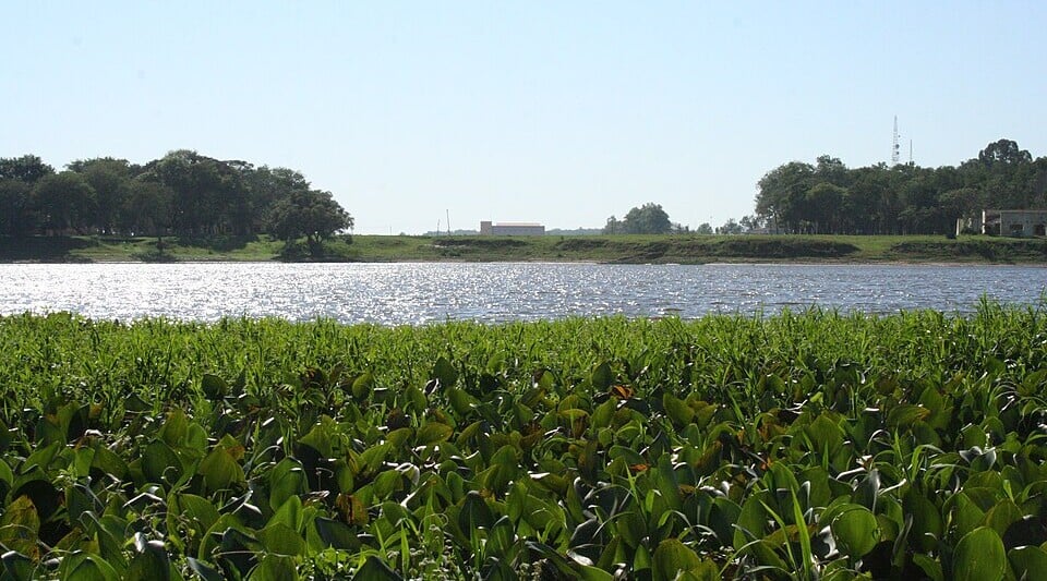
Low-lying areas along Paraguay’s major rivers contain extensive floodplains, marshes and wetlands. The northern border region includes part of the Pantanal, while the southwest around Ñeembucú contains broad wetlands and seasonally flooded grasslands.
See article: Flag of Paraguay
Paraguay flag
Paraguay’s red, white and blue tricolor dates back to the years following independence from Spain in 1811 and was officially adopted in 1842.
Unusually, the flag has a different emblem on each side: the national coat of arms on the front and the treasury seal, featuring the motto “Peace and Justice,” on the reverse.
Image credits:
Cerro Cora National Park: Christian Frausto Bernal, via Wikimedia Commons, licensed under CC BY-SA 2.0. Cropped.
Landscape in the Gran Chaco, Chaco Boreal, Paraguay: Ilosuna, via Wikimedia Commons, licensed under CC BY 1.0. Cropped.
Pilar, Ñeembucú: gomezminck, via Wikimedia Commons, licensed under CC BY-SA 3.0. Cropped.

Caitriona Maria is an education writer and owner of The Facts Institute. With seven years of teaching experience and a background in educational content, she specialises in creating clear reference resources about countries, geography and global topics.