Calling all geography lovers, students, and educators! Our free printable Oceanian maps are a fantastic resource for learning about the region’s countries, capitals, and abbreviations. Whether you’re studying for a quiz or planning a lesson, these maps and worksheets make the perfect educational tool.
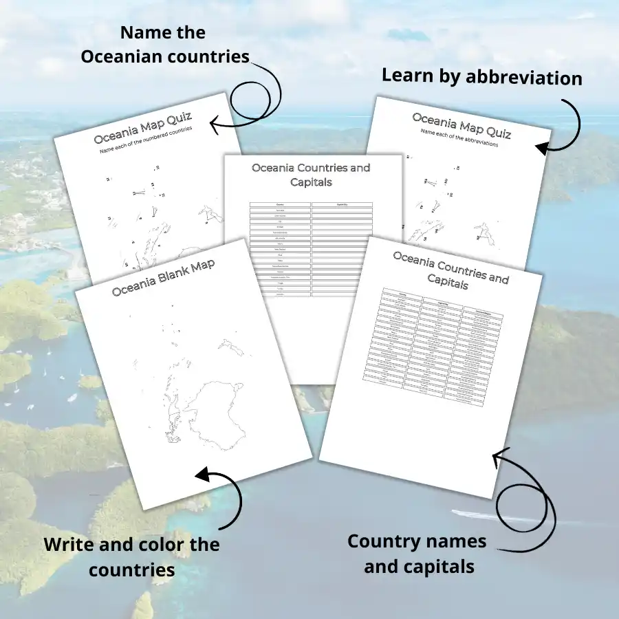
We’ve got everything you need to explore Oceania! Here’s why this map set is a must-have:
🌎 Complete Worksheets – Covers all 16 sovereign Oceanian countries.
📚 Flexible Learning Resource – Perfect for classrooms, homeschooling, trivia nights, or independent study.
📝 Simple, Easy-to-Read Design – Engaging maps and worksheets that make learning fun.
✅ Boosts Confidence – Practice and master countries, capitals, and abbreviations with interactive activities.
Just download, print, and start your Oceanian adventure in minutes!
Who is this for?
🎒 Students – Learn the Oceanian region and crush your next quiz.
🏫 Teachers – Save time with ready-made, classroom-friendly materials.
👨👩👧👦 Families – Turn geography into a fun and educational activity.
🎉 Trivia Buffs – Show off your expert knowledge of the region at your next game night!
What’s included
✅ Learning Aid Table – Memorize all the Oceanian countries and their capitals.

✅ Worksheet One – A numbered map to help you identify the countries of Oceania.

✅ Worksheet Two – A map featuring abbreviations to reinforce country names and locations.

✅ Worksheet Three – Test your knowledge with a blank map of Oceania.

✅ Worksheet Four – Fill-in-the-blank exercises to practice learning capital cities.

Download the worksheets for free here.
You may also find our printable world map helpful for placing Oceania in a global context.
Disclaimer:
These materials are for personal, educational, and non-commercial use only. Redistribution, resale, or commercial use is strictly prohibited.
Need extra help? Check out the reference guide on Oceanian countries, capitals, and abbreviations.

Caitriona Maria is an education writer and owner of The Facts Institute. With seven years of teaching experience and a background in educational content, she specialises in creating clear reference resources about countries, geography and global topics.