10 fun facts about Tanzania
1. Tanzania takes its name from Tanganyika and Zanzibar, the two states that united in 1964 to form the modern country.
2. Tanzania is home to Mount Kilimanjaro, Africa’s highest mountain. It is also the world’s highest freestanding mountain, meaning it’s not attached to a mountain range.
3. Some of the oldest evidence of early human ancestors has been discovered in Tanzania. Fossils found at Olduvai Gorge date back millions of years, while footprints at Laetoli were made by hominins around 3.6 million years ago.
4. Tanzania’s Serengeti is famous for the Great Migration, when enormous herds of wildebeest, zebras and other animals move across the ecosystem in search of fresh grazing and water.
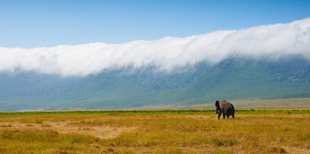
5. The enormous Ngorongoro Crater is one of the world’s largest intact volcanic calderas and supports an exceptional concentration of wildlife, such as the black rhino.
6. Freddie Mercury, the legendary lead singer of Queen, was born as Farrokh Bulsara on the Tanzanian island of Zanzibar in 1946.
7. Tanzania borders three of Africa’s Great Lakes: Lake Victoria, Lake Tanganyika and Lake Malawi.
8. Zanzibar was the site of the Anglo-Zanzibar War of 1896, commonly described as the shortest war in recorded history. The fighting lasted less than an hour.
9. In 2016, a pizza was carried to the summit of Mount Kilimanjaro, setting a Guinness World Record for the highest-altitude pizza delivery on land.
10. Around two-thirds of Tanzanians live in rural areas, while agriculture, forestry and fishing employ the majority of the country’s workforce.
Read more: Facts about Tanzania
At a glance
Capital city: Dodoma
Population: 70.5 million
Area: 947,300 sq km
Major languages: Swahili, English, Arabic
Major religions: Christianity, Islam
Time zone: UTC+3 (East Africa Time)
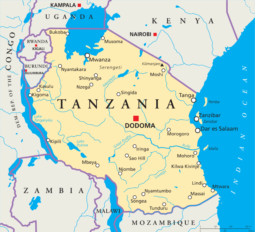
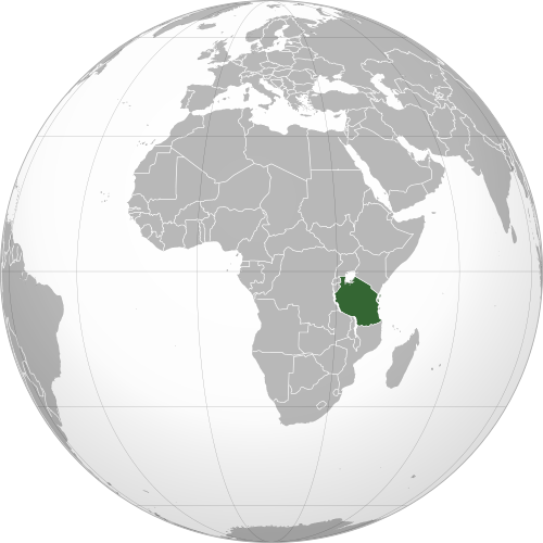
Where is Tanzania?
Continent: Africa
Region: Eastern Africa
Neighboring countries: Kenya, Uganda, Rwanda, Burundi, Democratic Republic of the Congo, Zambia, Malawi and Mozambique
Highest point: Mount Kilimanjaro (5,895 m / 19,341 ft)
Geography of Tanzania
Tanzania is one of the larger African countries and lies in Eastern Africa, with a long coastline on the Indian Ocean.
Its landscape is highly varied, ranging from tropical islands to broad plateaus, volcanic highlands, major lakes and Africa’s highest mountain.
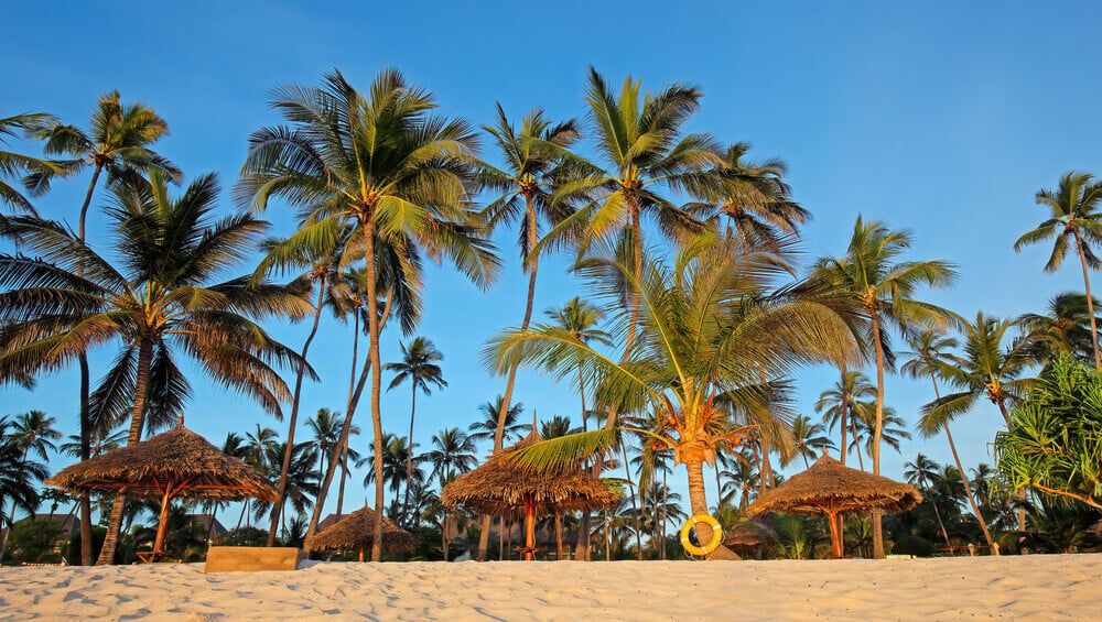
Coastal Plains & Zanzibar
Low coastal plains stretch along Tanzania’s Indian Ocean coastline, where the climate is generally warmer and more humid. Off the coast lie the islands of Zanzibar, Pemba and Mafia, known for coral reefs, tropical vegetation and marine life.
Central Plateau & Savanna
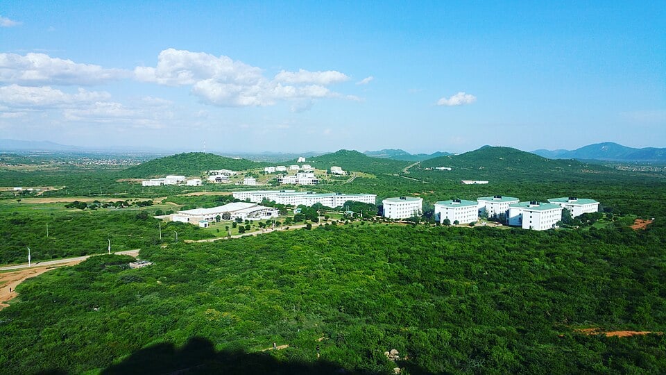
Much of central Tanzania consists of a broad plateau covered by grassland and woodland, and includes the national capital, Dodoma. The interior is generally drier than the coast and includes large areas used for farming and livestock grazing.
Northern Highlands & Mount Kilimanjaro
Northern Tanzania contains volcanic mountains and highlands associated with the East African Rift system. Mount Kilimanjaro rises near the border with Kenya. Nearby features include Mount Meru and the Ngorongoro Highlands.
Three African Great Lakes
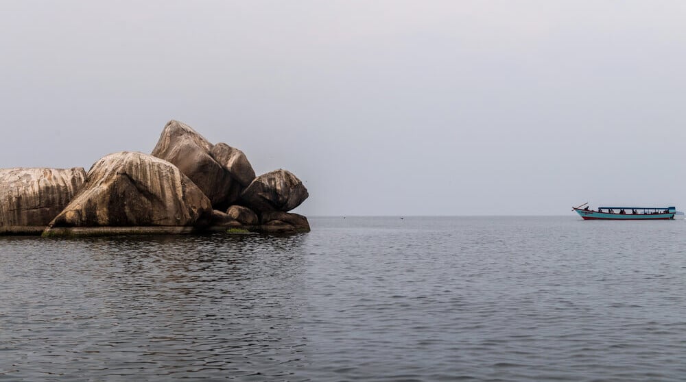
Tanzania borders three of Africa’s Great Lakes. Lake Victoria lies to the north, Lake Tanganyika forms much of the western border, and Lake Malawi lies along part of the southwest.
See article: Flag of Tanzania
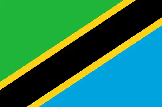
Tanzania flag
Tanganyika gained independence from Britain in 1961 and adopted a flag based on the colors of the Tanganyika African National Union (TANU). Zanzibar, formerly a British protectorate, became a republic following the Zanzibar Revolution in January 1964 and adopted a blue, black and green flag.
In April 1964, Tanganyika and Zanzibar united to form Tanzania. The new national flag combined elements of both flags, retaining Tanganyika’s green and black while incorporating Zanzibar’s blue.
Image credits:
A hostel at the University of Dodoma: Farry kazumary jr, via Wikimedia Commons, licensed under CC BY-SA 4.0. Cropped.
Lake Victoria, Tanzania: durktalsma, via Depositphotos.

Caitriona Maria is an education writer and owner of The Facts Institute. With seven years of teaching experience and a background in educational content, she specialises in creating clear reference resources about countries, geography and global topics.