10 fun facts about Togo
1. Togo is one of Africa’s narrowest countries, stretching north from the Gulf of Guinea with only about 56 km (35 mi) of coastline.
2. The name Togo comes from the Ewe language and is commonly interpreted as meaning “on the other side of the river.”
3. Togo’s capital, Lomé, was once nicknamed the “Paris of West Africa” because of its broad boulevards and cosmopolitan character.
4. Togo has one UNESCO World Heritage Site: Koutammakou, the Land of the Batammariba, famous for its distinctive mud tower houses known as takienta.
5. The Evala festival is one of Togo’s best-known cultural traditions. Each year, young men take part in traditional wrestling contests around the northern city of Kara as part of an initiation ceremony.
6. Vodun, often called voodoo, is widely practised in Togo and forms part of a much broader cultural tradition involving music, dance, art, healing and spirituality.
7. The lakeside town of Togoville is regarded as one of Togo’s historic centres of Vodun.
8. Fazao-Malfakassa National Park contains an unusually varied landscape of forests, savanna, rocky hills and waterfalls and is home to wildlife including monkeys, antelopes and elephants.
9. Togo has long been an important producer of phosphate rock, a mineral widely used to make agricultural fertilisers.
10. Football is Togo’s most popular sport, and its national team, nicknamed the Sparrowhawks, made its first FIFA World Cup appearance in 2006.
Read more: Facts about Togo

At a glance
Capital city: Lomé
Population: 9.7 million
Area: 56,785 sq km
Major languages: French, Ewe, Mina, Kabye, Dagomba
Major religions: Christian, Folk, Muslim
Time zone: UTC 0 (Greenwich Mean Time)
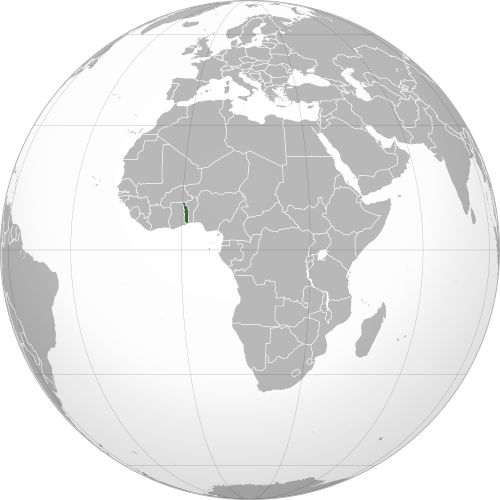
Where is Togo?
Continent: Africa
Region: Western Africa
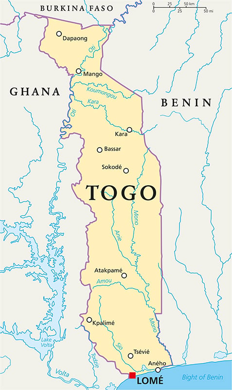
Neighboring countries: Ghana, Burkina Faso and Benin
Highest point: Mount Agou (986 m / 3,235 ft)
Geography of Togo
Togo is one of the smaller African countries and lies in Western Africa, stretching north from the Gulf of Guinea.
The country is long and narrow, measuring about 579 km (360 mi) north from the Gulf and reaching about 160 km (99 mi) at its widest point.
Coastal Plains & Lagoons
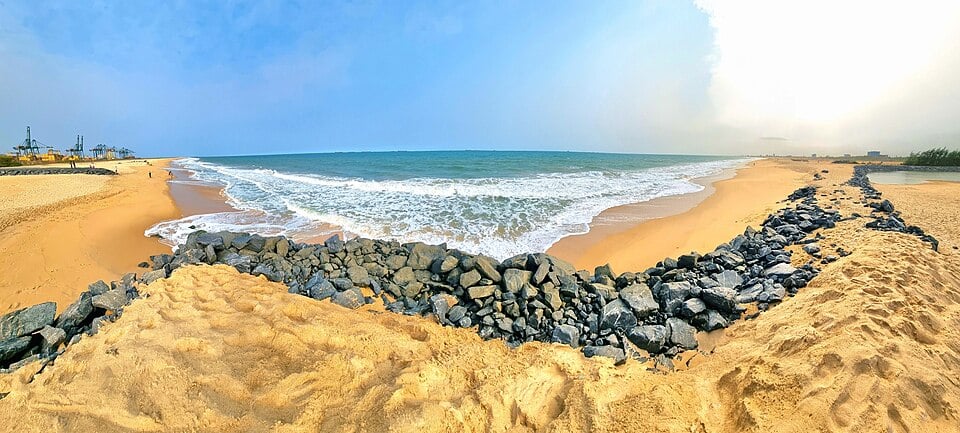
Southern Togo has a short coastline on the Gulf of Guinea, 56 km (35 mi) long. The capital, Lomé, lies directly on the coast near the border with Ghana.
Togo Mountains & Mount Agou
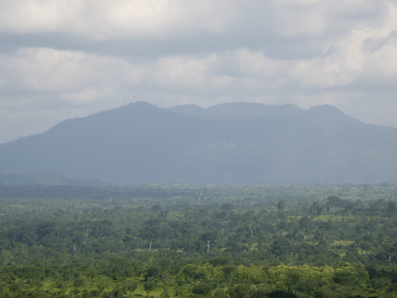
A chain of hills and mountains runs diagonally across central and southwestern Togo as part of the wider Togo-Atakora range. Mount Agou, near the Ghanaian border, is the highest point in Togo.
Central Plateau
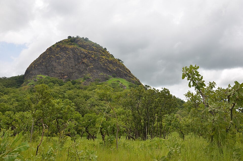
Much of central Togo consists of gently rolling plateaus and valleys between the mountainous interior. The landscape includes farmland, woodland and savanna, crossed by numerous rivers and seasonal streams.
Northern Plains & Savanna
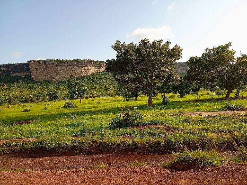
Northern Togo is generally flatter and drier than the south, with broad plains dominated by savanna vegetation. The Oti River and its tributaries drain much of this region before flowing west towards Ghana and eventually into Lake Volta.
See article: Flag of Togo
Togo flag
Togo was first colonized by Germany in 1884 before British and French forces occupied the territory during the First World War. It was later divided between Britain and France, with British Togoland eventually joining Ghana and French Togoland becoming an autonomous republic within the French Union in 1956.
When Togo gained full independence from France in 1960, a new flag designed by Togolese artist Paul Ahyi was adopted. Its green and yellow stripes, red canton and white star reflect pan-African colors and ideals including unity, hope, independence and peace.
Image credits:
Togo (centered orthographic projection): M.Bitton, via Wikimedia Commons, licensed under CC BY-SA 4.0.
Blue Turtle Beach, Lomé: Edison McCullen, via Wikimedia Commons, licensed under CC BY 4.0. Cropped.
Mont Agou: Christophe GUILLOUX, via Wikimedia Commons, licensed under CC BY-SA 3.0. Cropped.
View of the Fazao national park mountain: Zayneb Dhahbi, via Wikimedia Commons, licensed under CC BY-SA 4.0. Cropped.
Cuesta de Bombouaka: Akouete, via Wikimedia Commons, licensed under CC BY-SA 4.0. Cropped.

Caitriona Maria is an education writer and owner of The Facts Institute. With seven years of teaching experience and a background in educational content, she specialises in creating clear reference resources about countries, geography and global topics.