10 fun facts about Zimbabwe
1. Zimbabwe is home to Great Zimbabwe, a vast medieval stone city built between the 11th and 15th centuries. It was part of a wealthy global trading network and was once the capital of the Kingdom of Zimbabwe.
2. Victoria Falls, on Zimbabwe’s border with Zambia, forms the world’s largest curtain of falling water. The UNESCO-listed waterfall stretches about 1,700 meters (5,600 feet) across the Zambezi River.
3. Mermaids feature prominently in some Zimbabwean folklore, where they are believed to possess supernatural powers. Reports of mermaid sightings have even been blamed for disrupting construction and irrigation projects.
4. Victoria Falls is locally known as Mosi-oa-Tunya, meaning “The Smoke That Thunders,” because of the huge clouds of spray produced by the falling water.
5. Zimbabwe experienced one of the most extreme episodes of hyperinflation ever recorded. In 2009, the country issued a banknote with a face value of 100 trillion Zimbabwean dollars, worth around $33 (£22) on the black market.
6. Lake Kariba, which lies along the border between Zimbabwe and Zambia, is one of the world’s largest artificial lakes by volume.
7. Zimbabwe is one of the African countries where all of the famous “Big Five” animals — lions, leopards, elephants, rhinos and buffalo — can be found in the wild.
8. The Zimbabwe Bird shown on the country’s national flag is based on ancient soapstone bird sculptures discovered among the ruins of Great Zimbabwe.
9. The mbira, sometimes called a “thumb piano,” is a traditional instrument with metal keys that has played an important role in Shona music and culture for centuries.
10. Zimbabwe’s capital, Harare, used to be known as Salisbury after Lord Salisbury, the British prime minister during the colonial period.
Read more: Facts about Zimbabwe

At a glance
Capital city: Harare
Population: 17 million
Area: 390,757 sq km
Major languages: Shona, Ndebele, English
Major religions: Christianity
Time zone: UTC+2 (Central Africa Time)

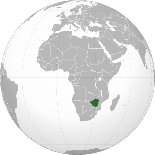
Where is Zimbabwe?
Continent: Africa
Region: Eastern Africa
Neighboring countries: Zambia, Mozambique, South Africa and Botswana
Highest point: Mount Nyangani (2,592 m / 8,504 ft)
Geography of Zimbabwe
Zimbabwe is one of the landlocked African countries and lies in Eastern Africa.
Much of the country consists of elevated plateaus and rolling grasslands, with mountains along the eastern border and lower, hotter valleys in the north and south.
Highveld & Central Plateau
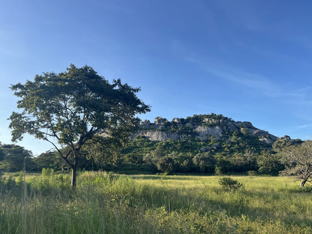
A broad central plateau known as the Highveld runs across much of Zimbabwe from southwest to northeast. This elevated region contains many of the country’s largest cities, including Harare and Bulawayo, and is characterised by savannah woodlands. It lies more than 1,200 m (3,940 ft) above sea level.
Eastern Highlands
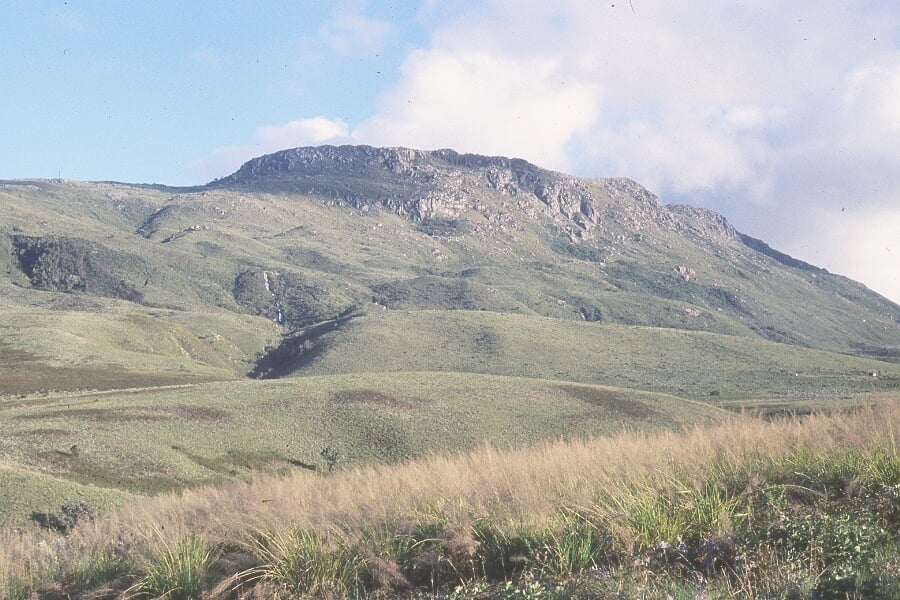
The Eastern Highlands stretch along Zimbabwe’s border with Mozambique and include the Nyanga, Bvumba and Chimanimani mountains. Mount Nyangani, the highest point in Zimbabwe, is located here.
Zambezi River & Lake Kariba
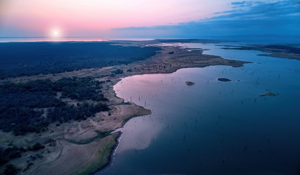
The Zambezi River forms much of Zimbabwe’s northern border with Zambia. Along its course lies Lake Kariba. Farther west, the Zambezi plunges over Victoria Falls, one of the world’s largest waterfalls, on the border between Zimbabwe and Zambia.
Lowveld & Southern Rivers
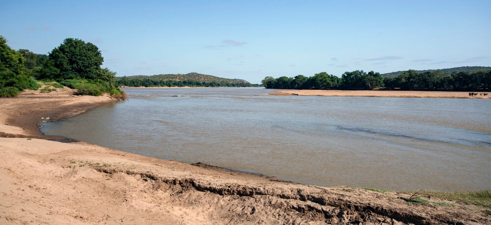
Lower terrain occurs around Zimbabwe’s major river valleys, particularly in the southeast and along the Limpopo Valley in the south. The lowest of these warmer, drier areas form Zimbabwe’s Lowveld. The Limpopo River forms much of Zimbabwe’s southern border with South Africa, while rivers such as the Save and Runde drain parts of the southeastern interior.
See article: Flag of Zimbabwe
Zimbabwe flag
Zimbabwe’s current national flag was adopted at independence in 1980. Its design uses pan-African colors and prominently features the Zimbabwe Bird, a historic national symbol that had appeared in the territory’s official heraldry since 1924.
Image credits:
Great Zimbabwe National Monument (Geography section, Image one): Erik Eschweiler-Dienerowitz, via UNESCO, licensed under CC BY-NC-SA 3.0 IGO. Cropped.

Caitriona Maria is an education writer and owner of The Facts Institute. With seven years of teaching experience and a background in educational content, she specialises in creating clear reference resources about countries, geography and global topics.