A ranked overview of North America’s largest countries and territories by total surface area, based on the most consistent international geographic data.
Surface area refers to the combined land and inland water area within a country’s internationally recognized boundaries, including major lakes and rivers.
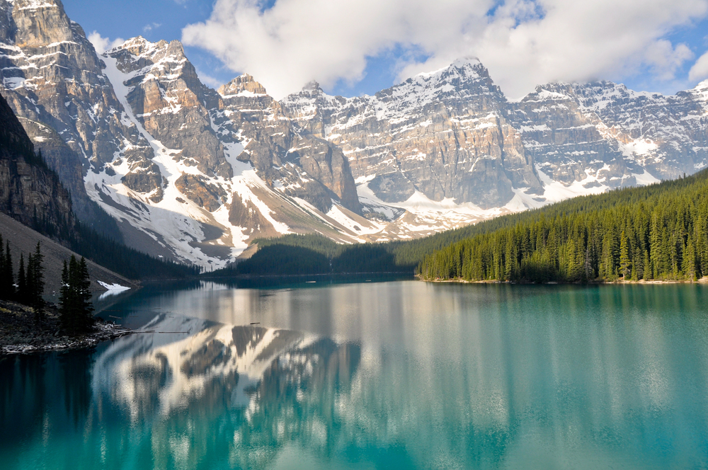
Largest country in North America
Canada is currently the largest country in North America by total surface area and ranks second globally, behind only Russia. Its size is significantly influenced by extensive inland water systems, including thousands of large lakes and river networks.
The United States ranks second in North America by total surface area. Within the United States, total surface area also varies widely, with a small number of states accounting for a large share of the country’s land area.
Mexico is the third-largest country on the continent.
Greenland is the largest territory on the continent by total surface area, despite its small population and political status as an autonomous territory within the Kingdom of Denmark.
Largest countries in North America by area
These are the ten largest sovereign countries in North America, ranked by total surface area:
While Canada and the United States dominate in scale, there is a sharp drop in total area after the top three. Nicaragua is about 15 times smaller than Mexico, for instance.
Complete ranking of North American countries and territories by area
The table below ranks North American countries and some territories by total surface area in square kilometers (sq km) and square miles (sq mi).
Total area figures can vary slightly between sources due to differences in how inland waters, disputed regions, and boundary definitions are treated.
For consistency and comparability, this ranking uses data from the Central Intelligence Agency (CIA) World Factbook, one of the most widely cited global geographic datasets.
Global ranking refers to each country’s position worldwide when all countries and territories are ranked by total surface area.
| North America ranking | Country | Global Ranking | Sq km | Sq mi |
|---|---|---|---|---|
| 1 | Canada | 3 | 9,984,670 | 3,855,103 |
| 2 | United States | 4 | 9,833,517 | 3,796,742 |
| 3 | Greenland | 13 | 2,166,086 | 836,331 |
| 4 | Mexico | 15 | 1,964,375 | 758,449 |
| 5 | Nicaragua | 98 | 130,370 | 50,336 |
| 6 | Honduras | 103 | 112,090 | 43,278 |
| 7 | Cuba | 106 | 110,860 | 42,803 |
| 8 | Guatemala | 107 | 108,889 | 42,042 |
| 9 | Panama | 118 | 75,420 | 29,120 |
| 10 | Costa Rica | 129 | 51,100 | 19,730 |
| 11 | Dominican Republic | 131 | 48,670 | 18,792 |
| 12 | Haiti | 147 | 27,750 | 10,714 |
| 13 | Belize | 151 | 22,966 | 8,867 |
| 14 | El Salvador | 153 | 21,041 | 8,124 |
| 15 | Bahamas, The | 160 | 13,880 | 5,359 |
| 16 | Jamaica | 166 | 10,991 | 4,244 |
| 17 | Puerto Rico | 170 | 9,104 | 3,515 |
| 18 | Trinidad and Tobago | 173 | 5,128 | 1,980 |
| 19 | Virgin Islands | 181 | 1,910 | 737 |
| 20 | Turks and Caicos Islands | 185 | 948 | 366 |
| 21 | Dominica | 188 | 751 | 290 |
| 22 | Saint Lucia | 192 | 616 | 238 |
| 23 | Antigua and Barbuda | 200 | 443 | 171 |
| 24 | Barbados | 201 | 430 | 166 |
| 25 | Saint Vincent and the Grenadines | 204 | 389 | 150 |
| 26 | Grenada | 206 | 344 | 133 |
| 27 | Cayman Islands | 209 | 264 | 102 |
| 28 | Saint Kitts and Nevis | 210 | 261 | 101 |
| 29 | Saint Pierre and Miquelon | 213 | 242 | 93 |
| 30 | British Virgin Islands | 219 | 151 | 58 |
| 31 | Montserrat | 223 | 102 | 39 |
| 32 | Anguilla | 224 | 91 | 35 |
| 33 | Bermuda | 228 | 54 | 21 |
| 34 | Saint Martin | 229 | 50 | 19 |
| 35 | Sint Maarten | 233 | 34 | 13 |
| 36 | Saint Barthelemy | 236 | 25 | 10 |
| 37 | Clipperton Island | 243 | 6 | 2.3 |
| 38 | Navassa Island | 245 | 5 | 1.9 |
For a broader comparison, see South America’s largest countries.
Notes on North American geography and size
North America features some of the largest political units in the world, alongside a high concentration of small island states in the Caribbean.
Total surface area does not directly reflect population, economic output, or geopolitical influence. However, it remains a key geographic metric used for continental comparisons, global rankings, and educational reference.