10 fun facts about Mali
1. The Mali Empire was one of the largest and most powerful empires in pre-colonial West Africa. It flourished from the 13th to the 16th century.
2. The territory of present-day Mali was formerly known as French Sudan.
3. Although Europeans once imagined Timbuktu as a city filled with gold, its real importance came from trade and Islamic scholarship, particularly during the 15th and 16th centuries.
4. The Great Mosque of Djenné is considered the world’s largest mud-brick building. Its present structure was completed in 1907.
5. Each year, residents of Djenné replaster the Great Mosque with mud during a community festival known as the Crépissage.
6. The Tanezrouft, one of the hottest and driest parts of the Sahara, reaches into northern Mali. Its Tuareg name means “Land of Thirst”, and temperatures can exceed 50°C (122°F).
7. Mali has one of the world’s highest Total Fertility Rates (TFR), with an estimated 5.3 births per woman in 2026.
8. Mali’s green, yellow and red flag uses the same colors as Guinea’s flag, but in the opposite order.
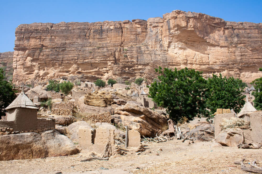
9. Mali’s Cliff of Bandiagara stretches for around 150 kilometers (93 miles) and is home to hundreds of villages.
10. The Taoudenni salt mine, located in northern Mali, is the largest in the Sahara. Salt is cut by hand into heavy slabs from the bed of an ancient lake and is still transported to Timbuktu by some of the last camel caravans operating in the desert.
Read more: Facts about Mali

At a glance
Capital city: Bamako
Population: 25.2 million
Area: 1,240,192 sq km
Major languages: Bambara, French and others
Major religion: Islam
Time zone: UTC +0 (GMT)
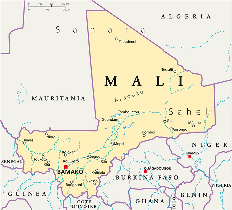
Where is Mali?
Continent: Africa
Region: West Africa
Neighboring countries: Algeria, Burkina Faso, Côte d’Ivoire, Guinea, Mauritania, Niger and Senegal
Highest point: Hombori Tondo (1,155 m / 3,789 ft)
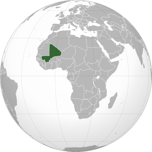
Geography of Mali
Mali is one of the largest African countries by area and is landlocked in Western Africa.
Its landscapes stretch from the Sahara Desert in the north through the semi-arid Sahel to grassland and wooded savanna in the south.
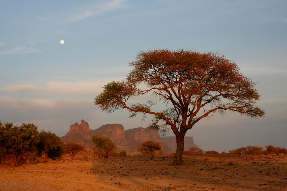
Sahara and Sahel Region
Much of northern Mali lies within the Sahara Desert. Central Mali forms part of the Sahel, the dry transition zone between the Sahara and the greener regions farther south.
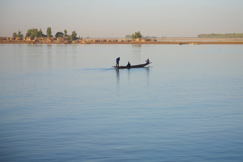
Niger River and Inner Delta
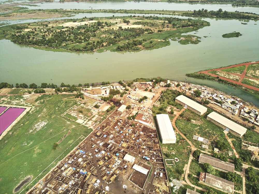
The Niger River flows through southern and central Mali and is the country’s most important waterway. Near Mopti, the Niger and Bani rivers spread across the Inner Niger Delta, a vast seasonal wetland containing lakes and floodplains.
Rocky Highlands and Escarpments
Central and eastern Mali include sandstone cliffs, plateaus and isolated peaks. The Bandiagara Escarpment rises dramatically above the surrounding plains, while farther east Hombori Tondo is Mali’s highest point at 1,155 meters.
Southern Savanna
Southern Mali is wetter and more tropical than the rest of the country. The landscape includes grassland, savanna and farmland, particularly around Sikasso.
See article: Flag of Mali
Mali flag
The flag of Mali dates back to the country’s transition from French colonial rule to independence. During the colonial period, the territory was known as French Sudan and used the French tricolor.
In 1959, French Sudan and Senegal formed the Mali Federation and adopted a green, yellow and red flag with a black Kanaga symbol in the center. After the federation dissolved, Mali removed the Kanaga symbol and adopted its current plain tricolor in 1961.

Caitriona Maria is an education writer and owner of The Facts Institute. With seven years of teaching experience and a background in educational content, she specialises in creating clear reference resources about countries, geography and global topics.